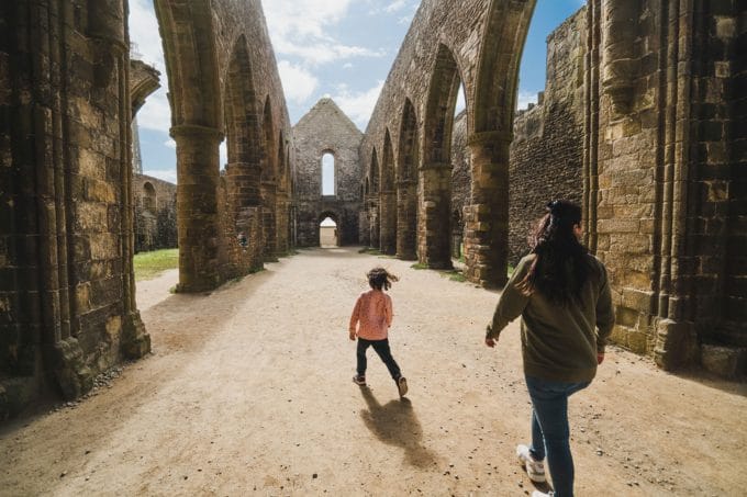
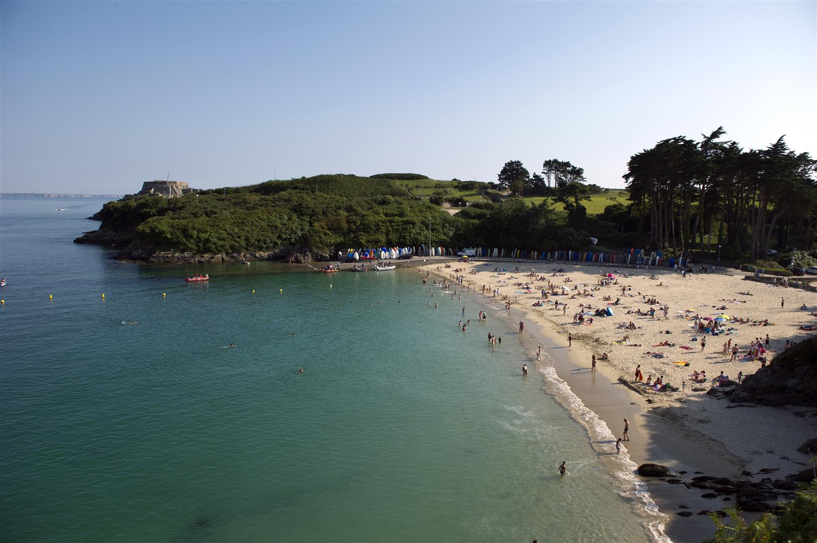
From village to seaside
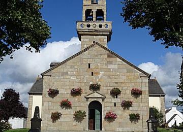
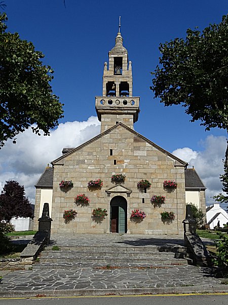
Plougonvelin Plougonvelin
  • Type Pedestrian
  • Distance 6 Km
  • Difficulty Easy
Créac'h Meur
Church of Saint-Gwenole-Plougonvelin
Bertheaume Beach
Bertheaume fort

About us

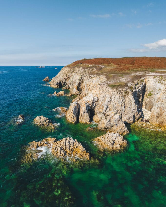
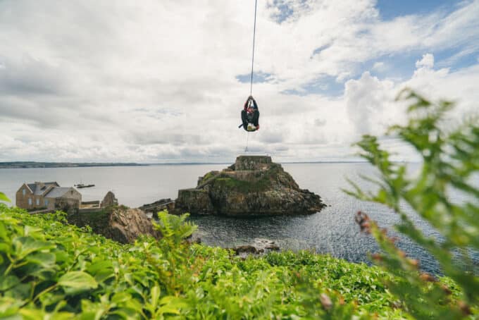
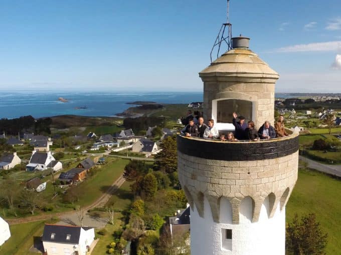
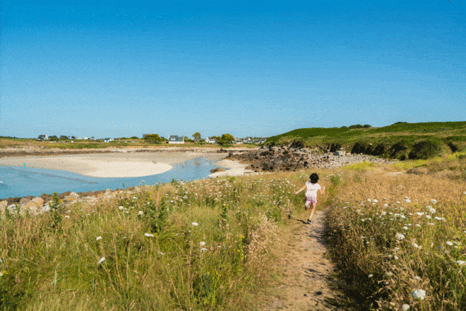
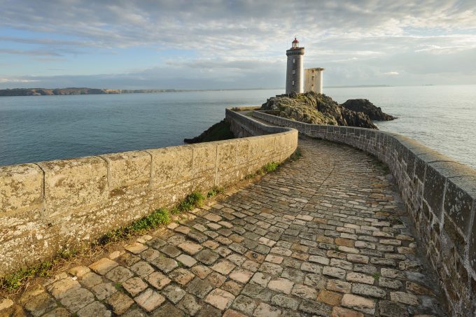
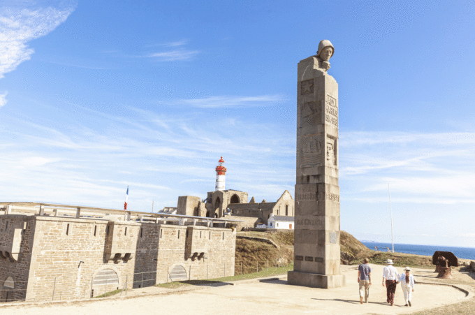
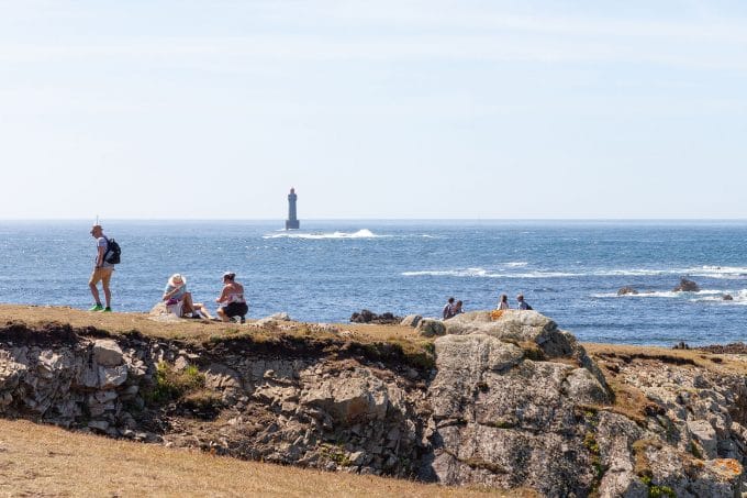
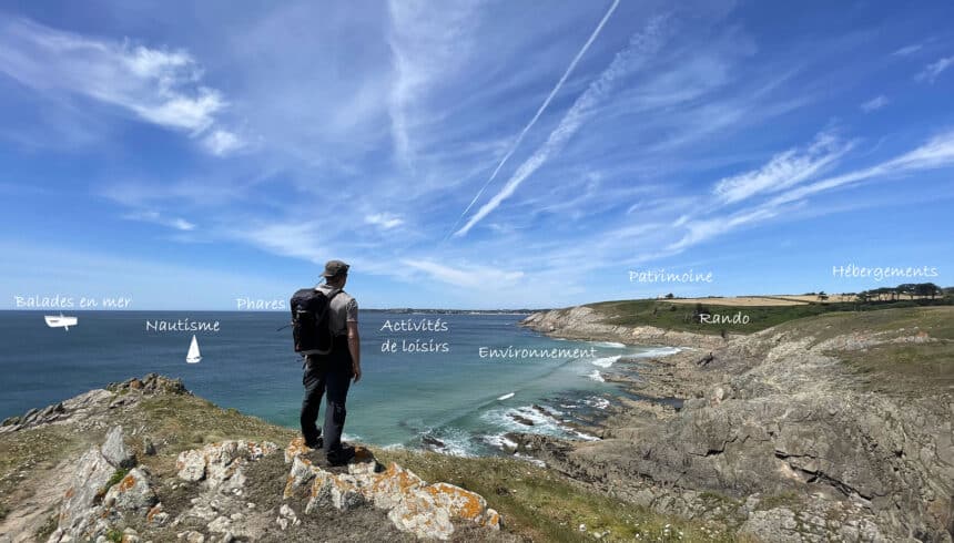
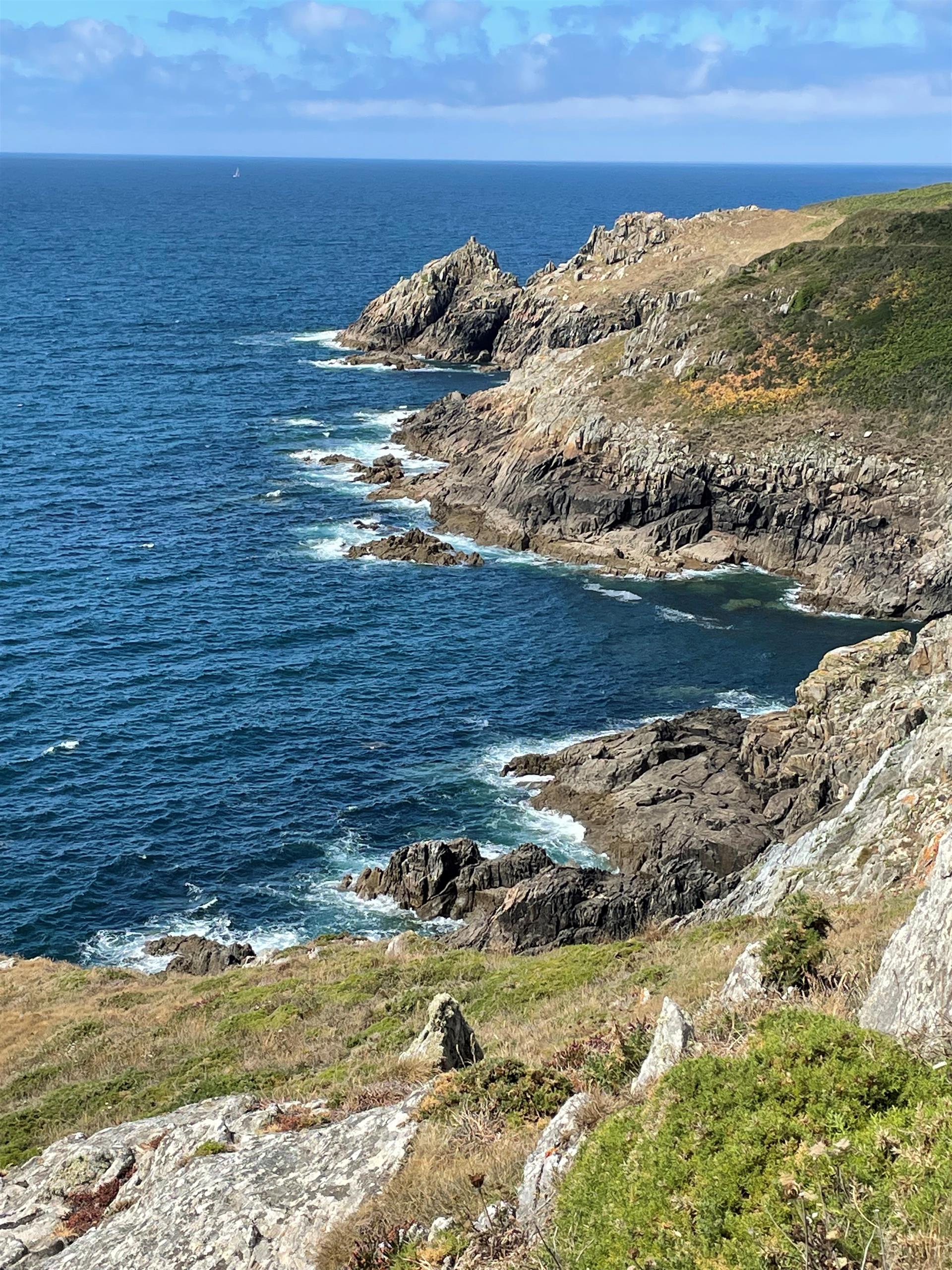
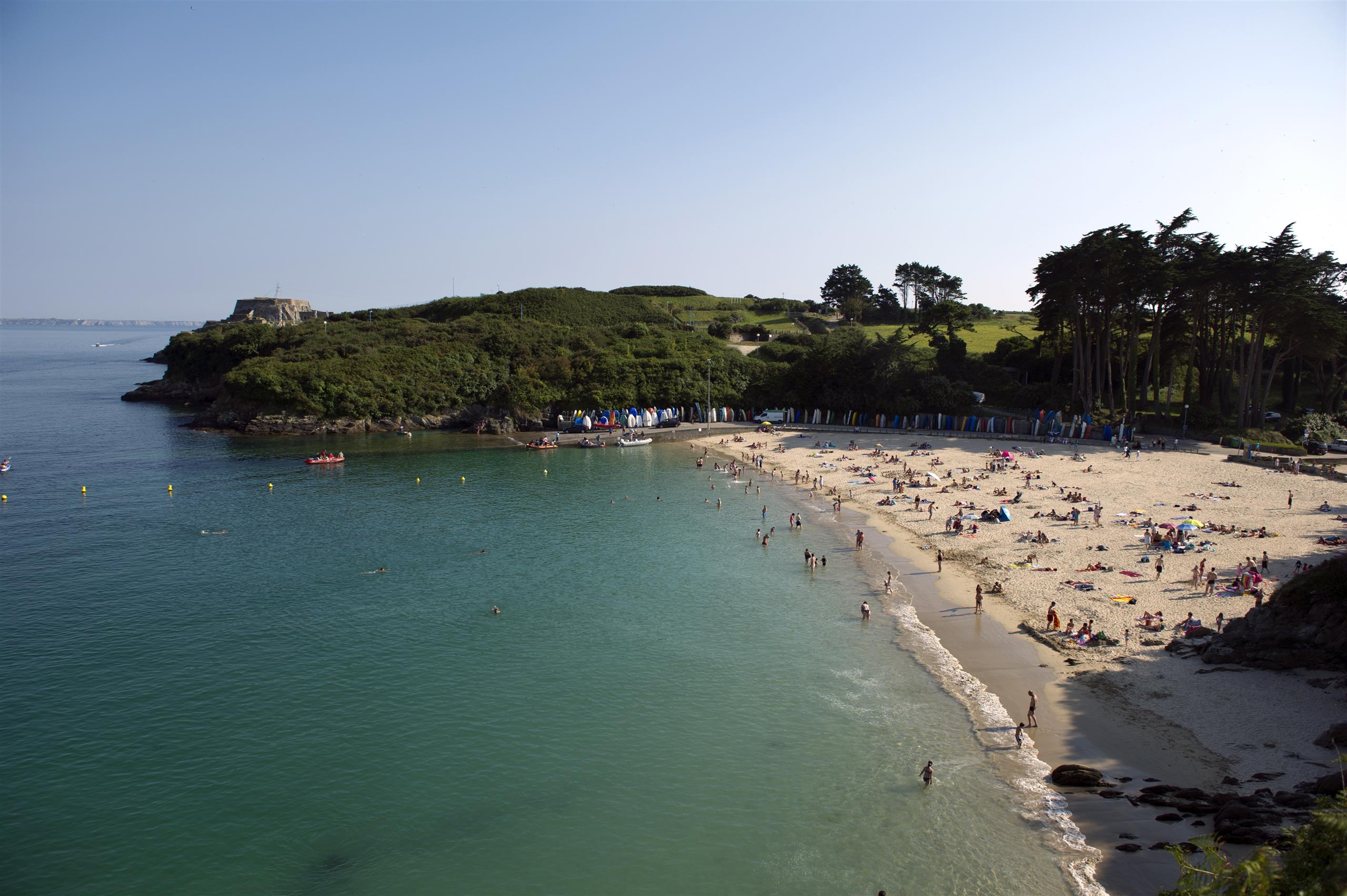
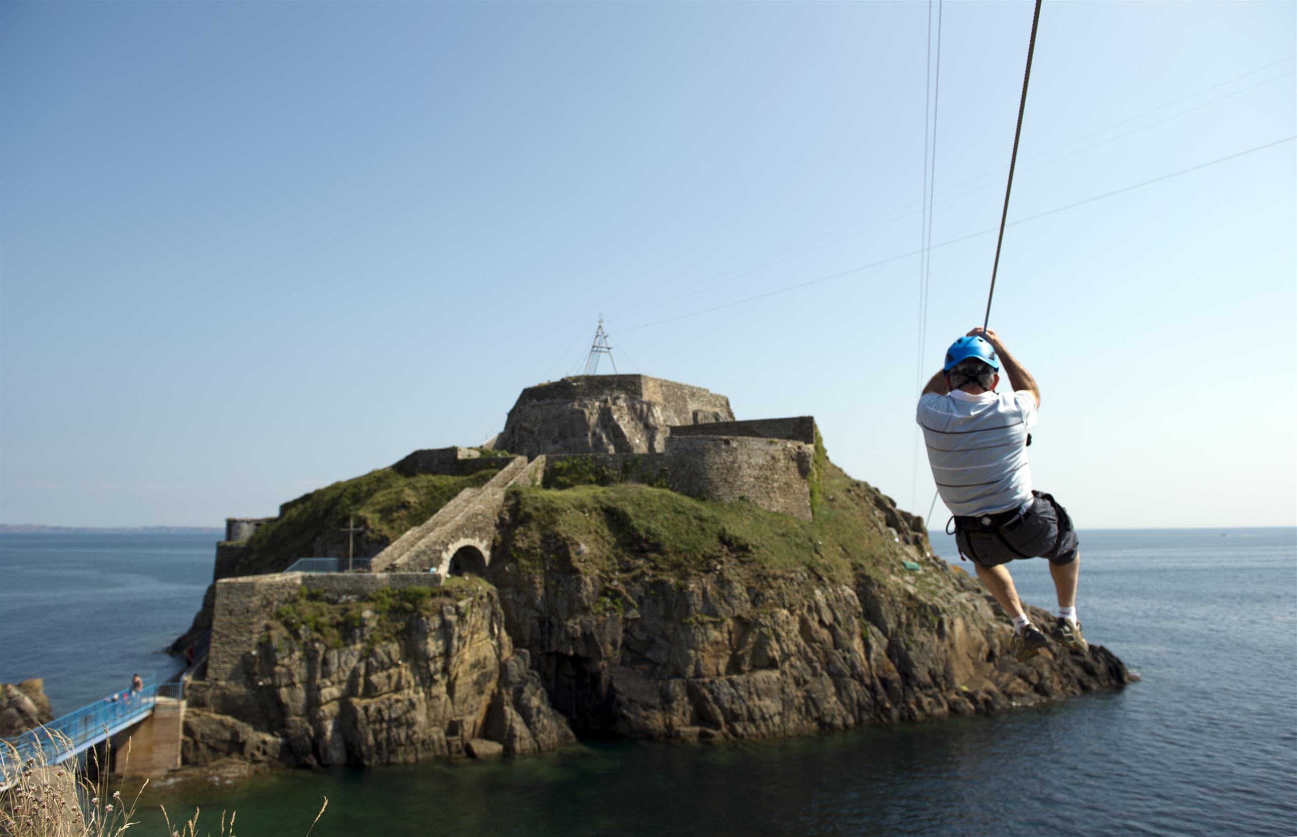
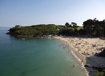
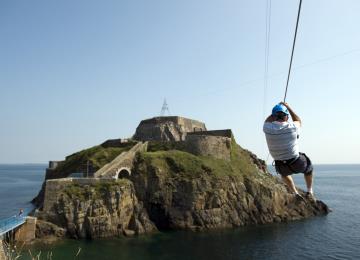
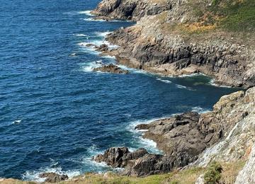
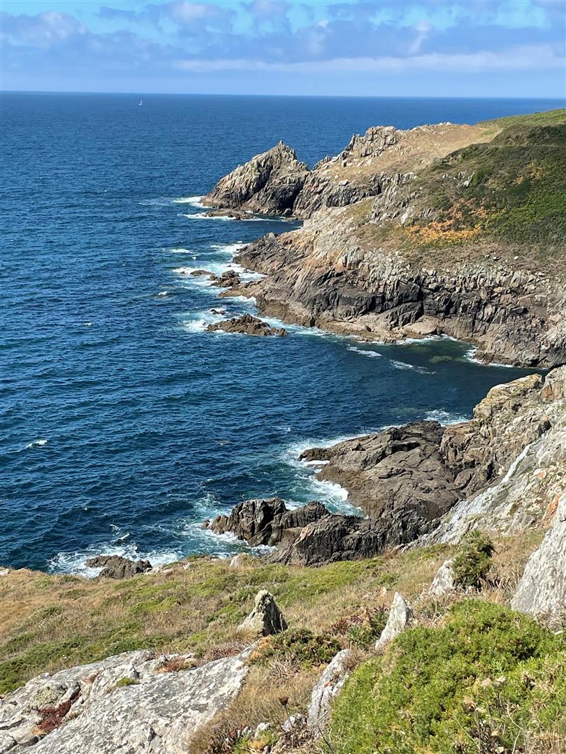
From the church square to the Créac'h Meur headland, via the Bertheaume fort, set off to conquer the pretty town of Plougonvelin.
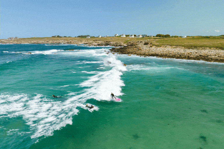
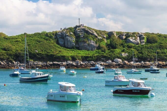
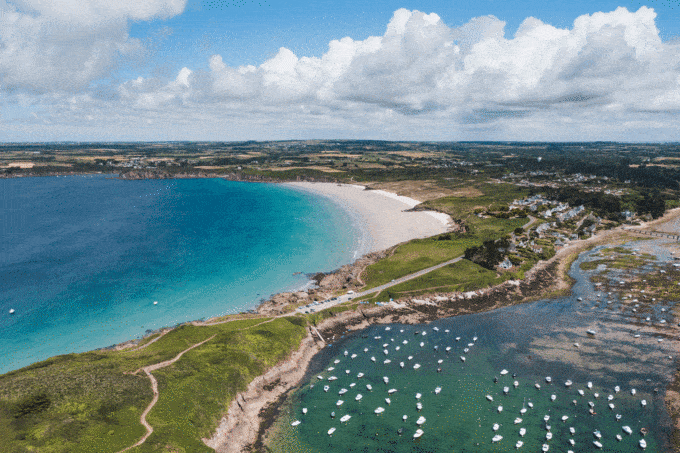
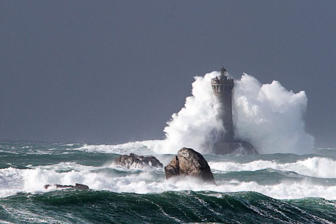
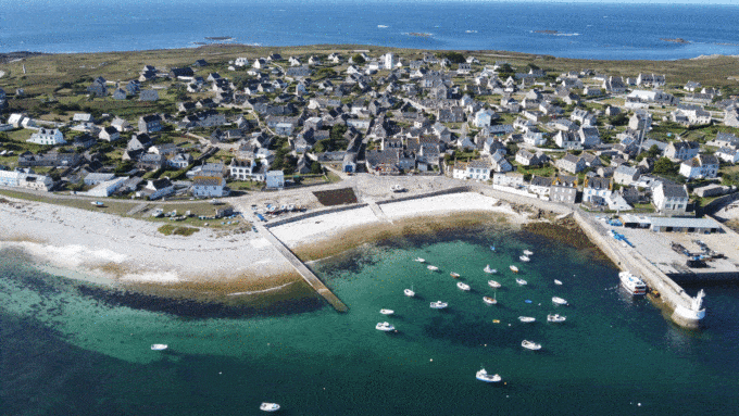
Between town and sea, discover breathtaking landscapes.

At the Iroise Bretagne Tourist Office, you'll find hard-copy hiking maps and topoguides published by the Fédération Française de Randonnée du Finistère.

See the bottom of the page for all the activities and restaurants in the area.

Documents to download
Itinerary
Step 1/5:

Departure is from the forecourt of Saint-Gwenaël church.

In 1830, the church fell into ruin and was built without pillars, with round-headed windows.
The 16th-century facade and bell tower have been preserved in their simplicity and sobriety.
The 19th-century church burned down on September 8, 1944, during the fighting of the Liberation; only the bell tower survived.
Reconstruction took place between 1949 and 1952. The church offers visitors remarkable works of art by talented artists from Finistère.

The Parvis crosses:
North side: this is a very old cross, which stood in Tréflez until 1999.
South side: the cross commemorates successive missions since 1877.

Church of Saint-Gwenaël

Pleasant family park of 17,136 m², with green spaces and plantings.
You may come across ducks, moorhens or swans wading in the pond.
The park's stabilized paths make it easy to walk.

Still known as Perzel beach, it attracts many bathers and yachtsmen who enjoy mooring their boats here in fine weather.
Legend has it that Saint Sané, coming from Ireland, landed here in the 5th century, before settling in Plouzané.

Bertheaume Beach

The 37-meter-high Bertheaume fort was built around 1690, at the request of Louis XIV, to protect Brest during the War of the League of Augsburg. Vauban installed three cannons and two mortars on the upper platform of the islet to control the Bertheaume cove, where all ships entering or leaving Brest harbor still pass today. A wise decision: in June 1694, an English fleet attacked, but was greeted by a deluge of bombs from the fort, enough to repel them.

Bertheaume's usefulness was no longer in doubt, and Vauban's successors continued his work in the 18th and 19th centuries. Barracks, powder magazines and a perimeter wall were first installed, before the fort, then only accessible at low tide, was equipped with a footbridge in 1835, followed by casemates some fifty years later.

Bertheaume Fort is open to visitors in July and August.

Bertheaume fort

The Créac'h Meur point offers a wide-angle view from the entrance to the Brest Narrows to the Pointe Saint Mathieu.

Créac'h Meur Point
Getting there with Google Maps