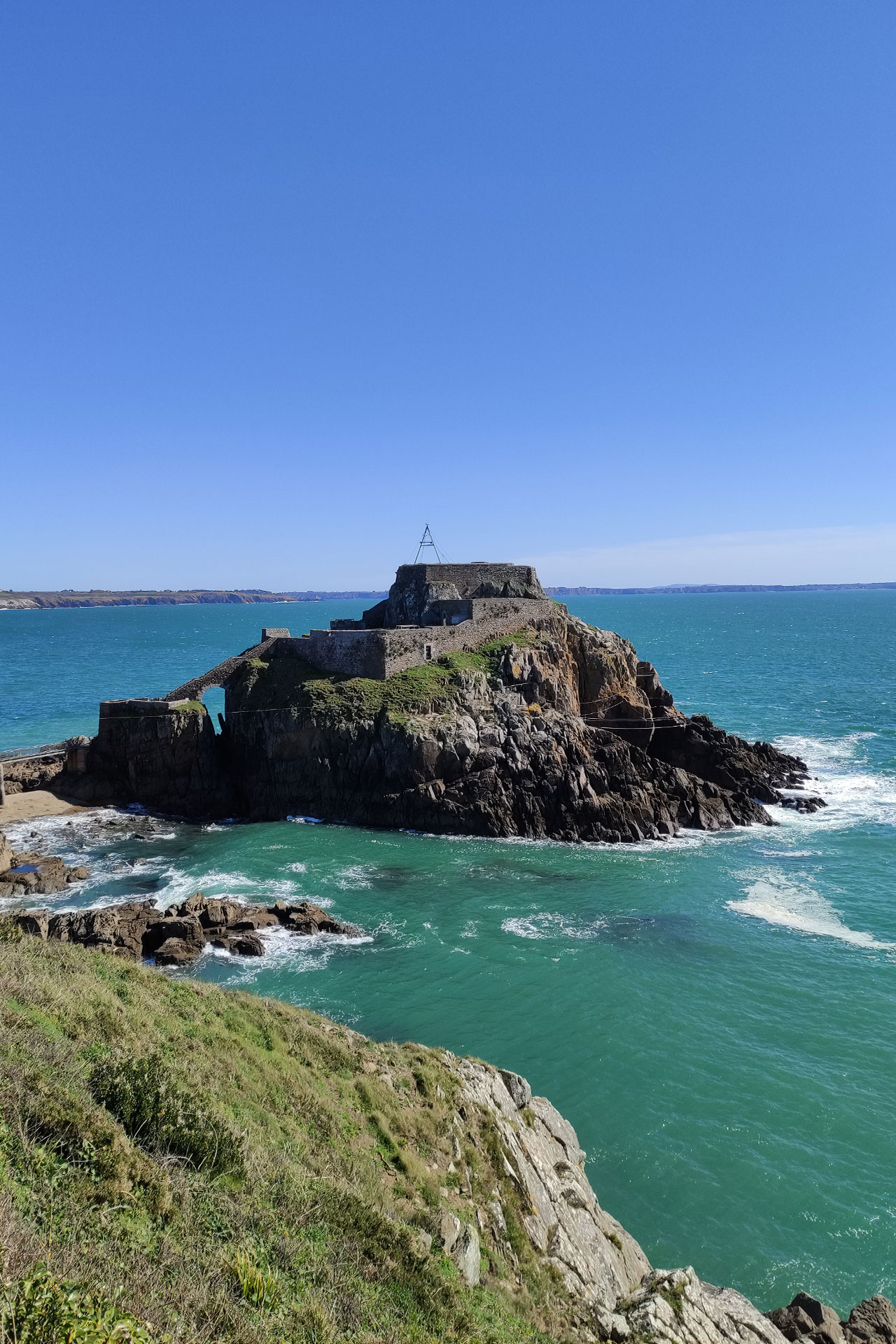
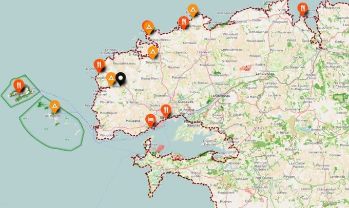
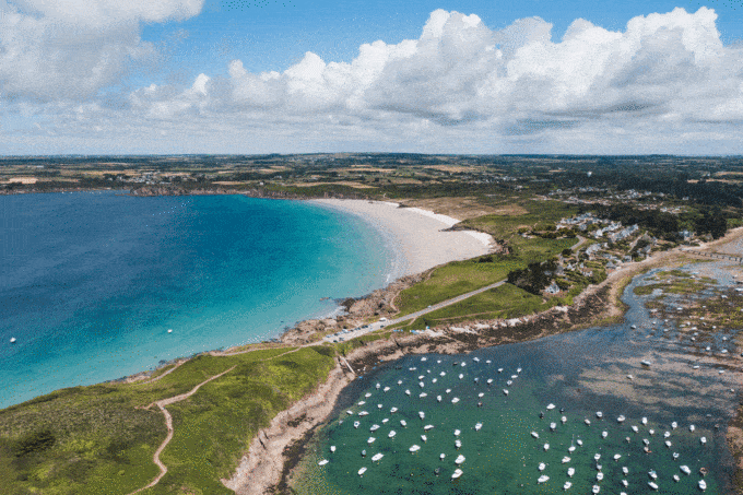
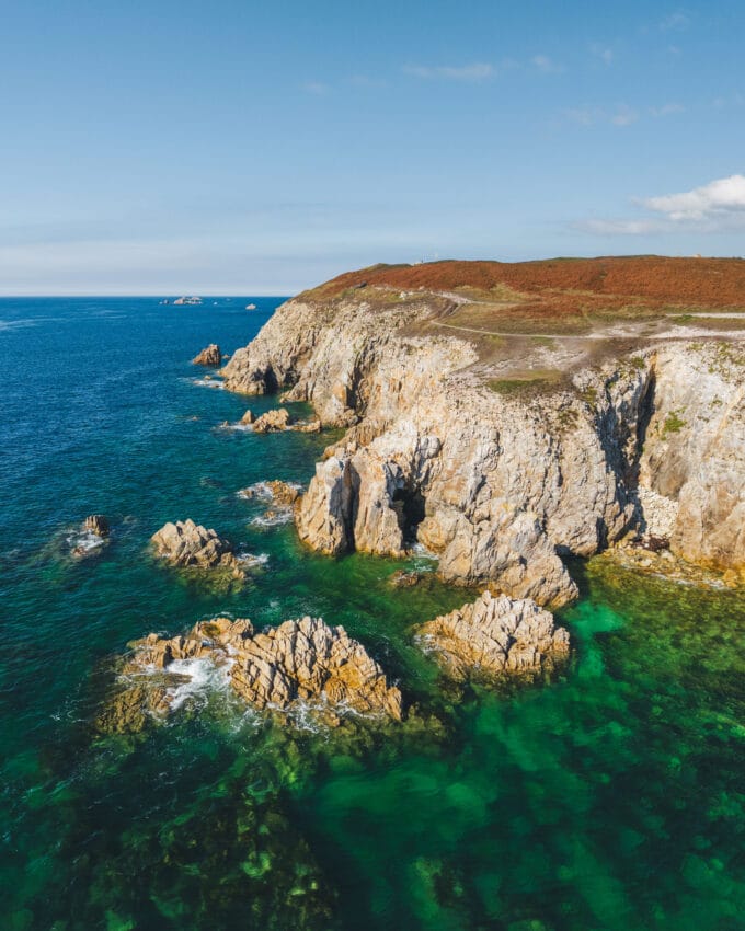
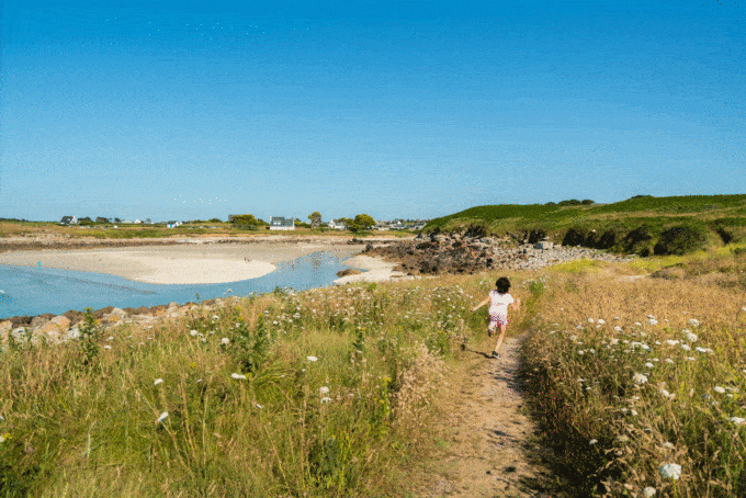
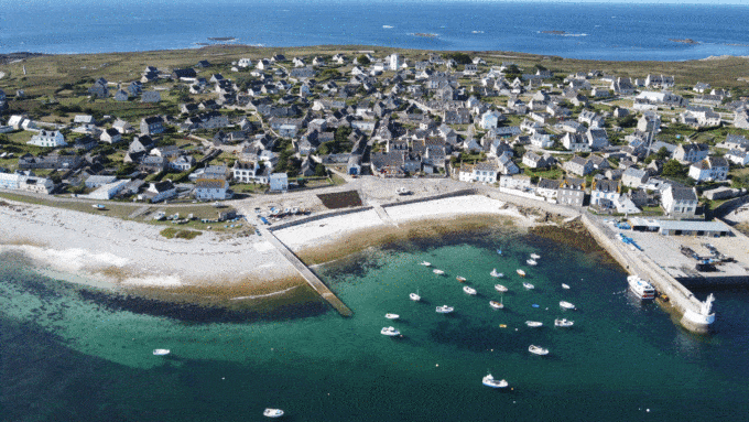
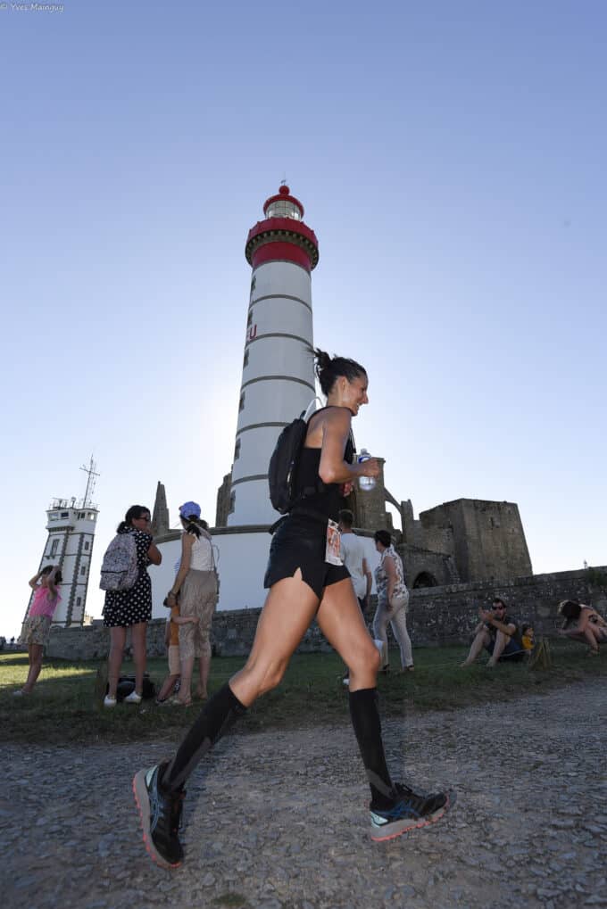
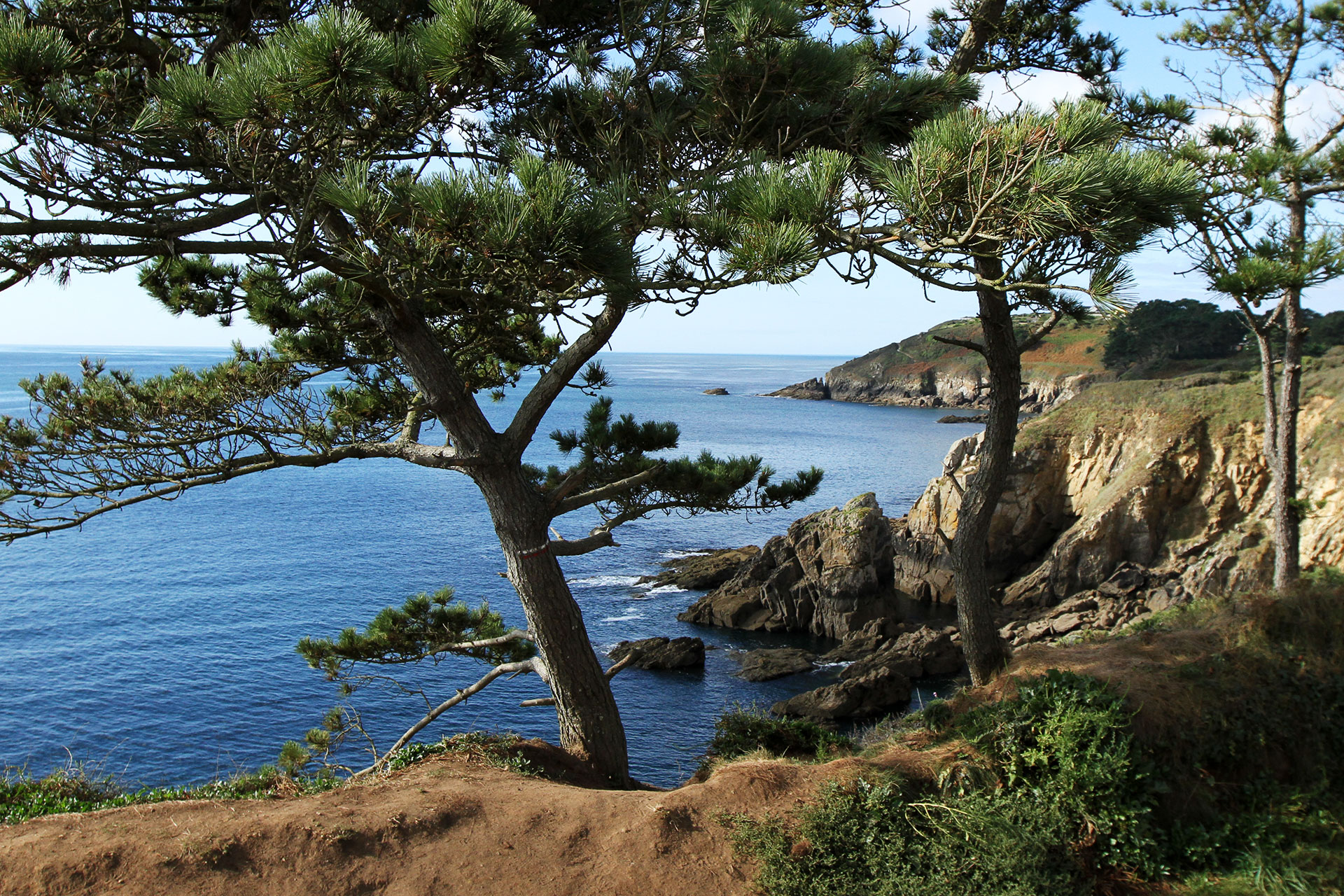
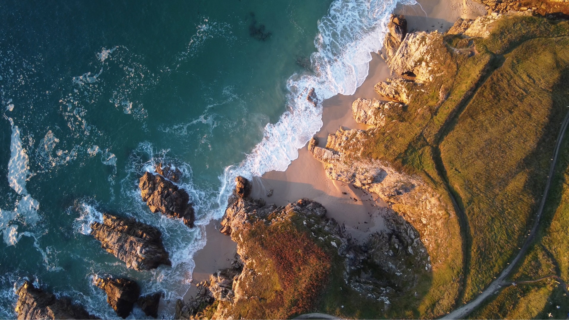
The GR®34
is the most maritime of hiking trails. It's one of France's favorite trails!
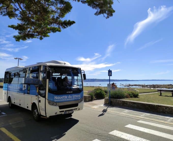
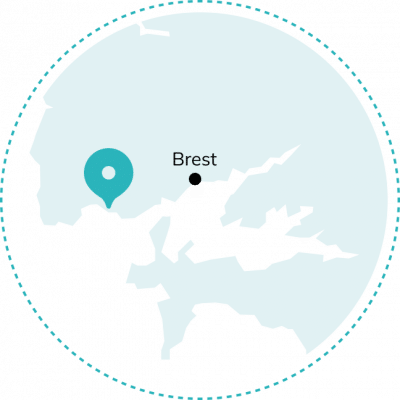
Visit www.mongr.fr
allows you to organize your itinerary with complete freedom.
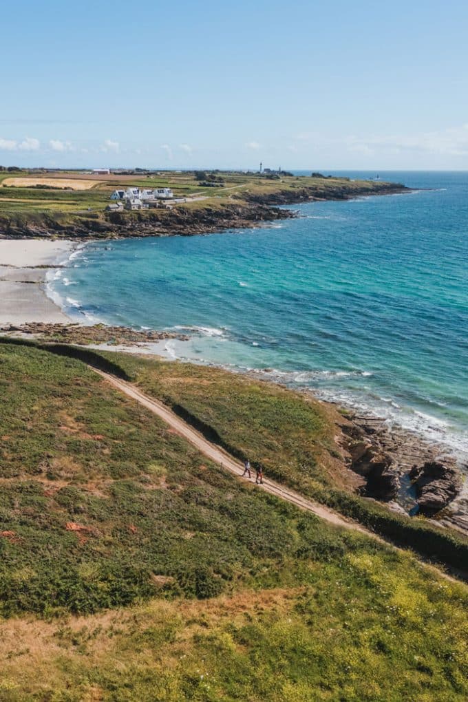
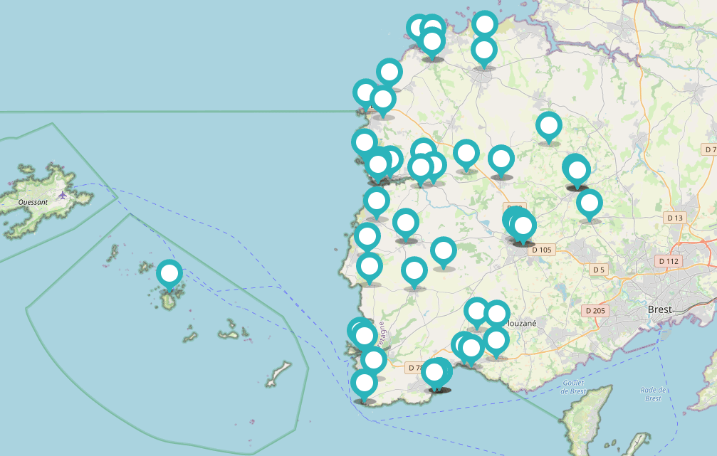
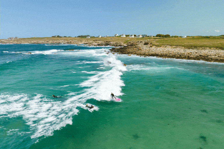
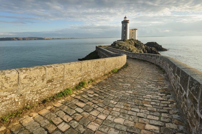
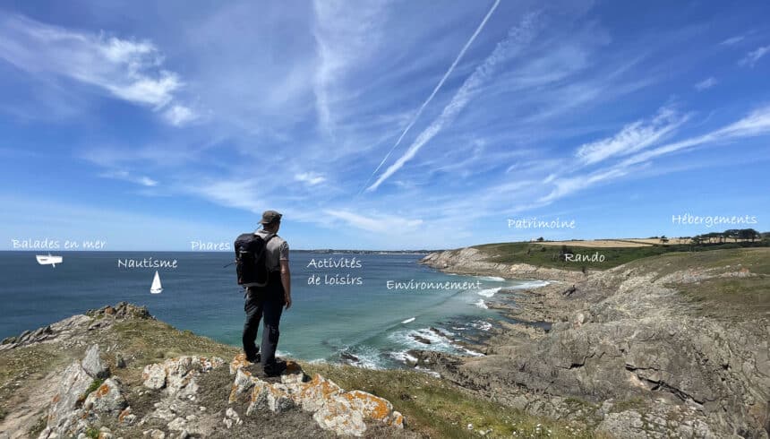
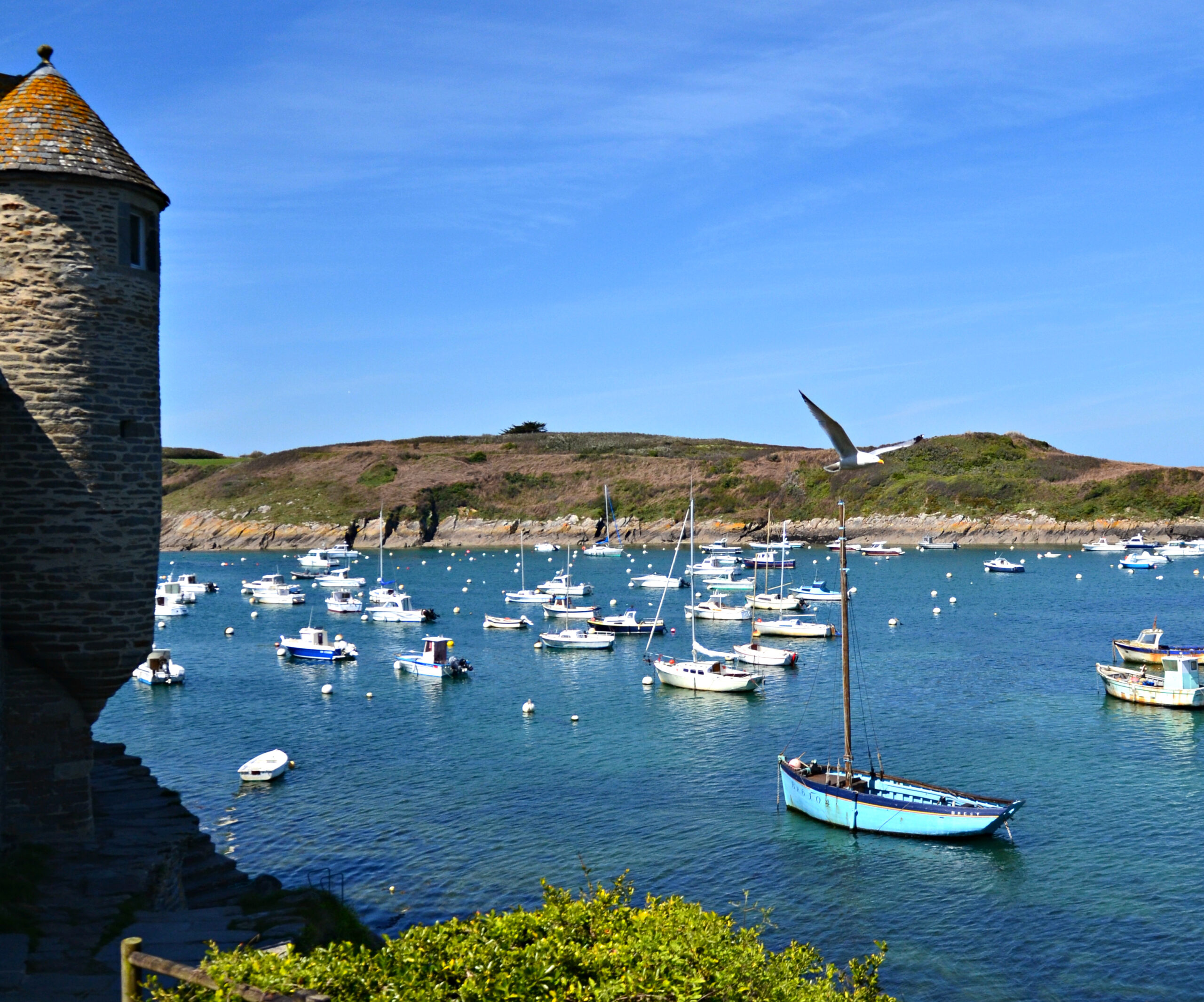
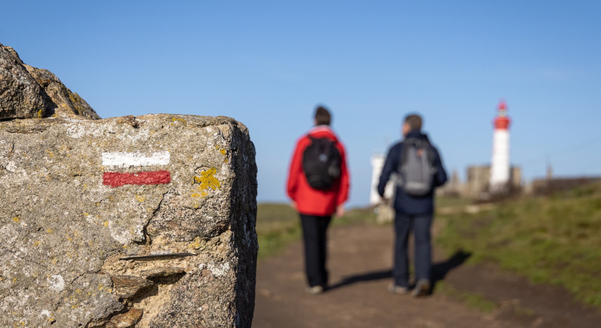
35 hiking trails
marked trails are available in Iroise, 20 of which run along the GR®34.
Walking the GR®34
In 7 days, we covered 75 kilometers of beautiful countryside. Inland treasures (valleys, menhirs and manor houses...) are accessible via the many signposted circuits between land and sea. We'll be back!
Set
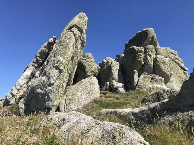
Rubber tips on walking poles are highly recommended to preserve trails, limit erosion accentuated by run-off water, and protect flora and fauna. Don't forget them!
get organized
To plan your itinerary knowing how many kilometers separate the coastal towns, consult the distance table.
J1
Trégana Beach > Bertheaume Fort
On arrival at Brest station, bus no. 11 takes us to Trégana beach in Locmaria-Plouzané, the starting point of our hike! We walk along three charming beaches, enlivened by the laughter and clatter of terrace cutlery, and then survey the first cliffs towards Plougonvelin: we're on the GR®34! Standing on its islet on the horizon, Fort de Bertheaume, designed by Vauban, awaits us.
SUGGESTIONS
Hotels, campsites, B&Bs, stopover gîtes...await you along the GR®34. Book your accommodation in advance for a worry-free hike.
J2
Fort de Bertheaume > Le Conquet
Early in the morning, with the sun at our backs, we walk westwards over vertiginous cliffs: the view over the Iroise Sea, the Crozon peninsula and the Pointe du Raz is breathtaking! We reach the Pointe Saint-Mathieu site, a natural promontory on which the ruins of the Saint-Mathieu de Fine-Terre abbey and the Saint-Mathieu lighthouse invite us to take a contemplative break...
J3
Le Conquet > pointe de Corsen
We discover the charming port of Le Conquet, with its singular architecture, old mansions and shopping center. The Presqu'île de Kermorvan is a veritable natural liner jutting out into the sea, with its lighthouse, which we've already seen somewhere, probably in a photo! We then make our way quietly up to the large Blancs Sablons beach and its dune massif, before reaching the Kerhornou beach in Ploumoguer, a well-kept secret that's home to some nuggets.
NB: until spring 2024, for the safety of hikers, access to Illien beach is closed due to construction work.
CIRCUITS
Hiking and walking
The Iroise region is dotted with 35 hiking trails, 20 of which run along the GR® 34! These loops, averaging 10 km in length, reveal our maritime landscapes and the riches of the Iroise: chapels, fountains, wash-houses... These circuits, and their GPX* tracings, are available to download free of charge. A topoguide and randofiches published by the Fédération Française de Randonnée are available from the Tourist Office.
*GPX Tracers: instructions for use
There's an alternative to the paper hiking map: the GPX trail. This trail allows you to view the circuit free of charge on a smartphone and be guided by geolocation. Instructions for use :
- Install a free GPX track reader on your smartphone, such as the GPX Viewer application (available on Android and iOS).
- On the website www.iroise-bretagne / Hiking section, download the GPX route you wish to take. It will automatically open in the GPX Viewer application.
- The application displays an interactive map, the key stages of the route and a moving point corresponding to your position. Let geolocation guide you along the route!
NB: once the GPX trail has been downloaded, the reader works without an Internet connection.
J4
Pointe de Corsen > Porspaul
We're definitely at the end of the world! The coastline here takes on exotic accents: at Corsen Point, among the cliffs, a turquoise sea stirs the white sand. Along the way, we see the Cross Corsen, the Trézien lighthouse and the Molène archipelago. This evening, we'll be admiring the sunset over the sea: the day ends here, when the ballet of the lighthouses begins.
J5
Porspaul > Aber Ildut
As you move towards Lampaul-Plouarzel, the cliffs give way to gentle dune landscapes. Two small harbours - Porspaul and Porscave - and ancient seaweed kilns among the vegetation bear witness to the long maritime history of this area. Then, via the charming cove of Milin Aod, we reach the tree-lined, welcoming south shore of the Aber Ildut. At high tide, this valley is filled with poetry.
TURN-KEY
The Penguin Route
From Carantec to Brest, via the islands of Molène and Ouessant, the 15 gîtes and hotel-restaurants of the Route des Pingouins in North Finistère offer you the opportunity to hike the GR®34 in complete peace of mind. In Iroise, from Porspoder to the Molène archipelago, via the Château de Kergroadez in Brélès, take advantage of this innovative offer.
J6
Aber Ildut > Porspoder
The north shore of the Aber Ildut takes us to Lanildut, Europe's leading seaweed harbour with a remarkable heritage. We then head up the coast to Porspoder, visiting Melon Island and its dolmen, accessible on foot at low tide. Here we follow a sea dotted with reefs, battered by storms in winter and dominated by the Four lighthouse. The Presqu'île Saint-Laurent is well worth the detour.
J7
Porspoder > Portsall
This last stop on the wild coast lights up our stay! Here, the waters of the English Channel and the Atlantic Ocean mingle to create a colorful spectacle. Along the way, we discover the Penfoul cove in Landunvez, the secluded Saint-Samson chapel by the sea, before reaching Portsall and its lagoon.
On the last day (D8), we return to Brest by bus (line 14).
The little extra
If you want to get around Iroise without a car, there's plenty to choose from! Coastal shuttle in summer, bus, walking, cycling, cab or car-sharing (www.ouestgo.fr). Don't hesitate to ask us for advice!
IN SEASON
The Coastal Shuttle
From July 1 to August 31, 2024, the Navette du littoral (Coastal Shuttle) will serve all the towns along the coastline, making it easy to start your hike 10 kilometers from your gîte and return home on foot.