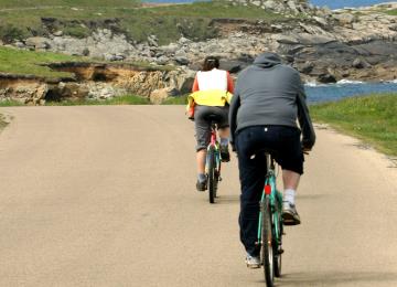
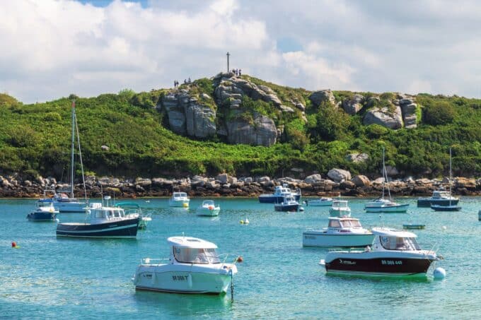
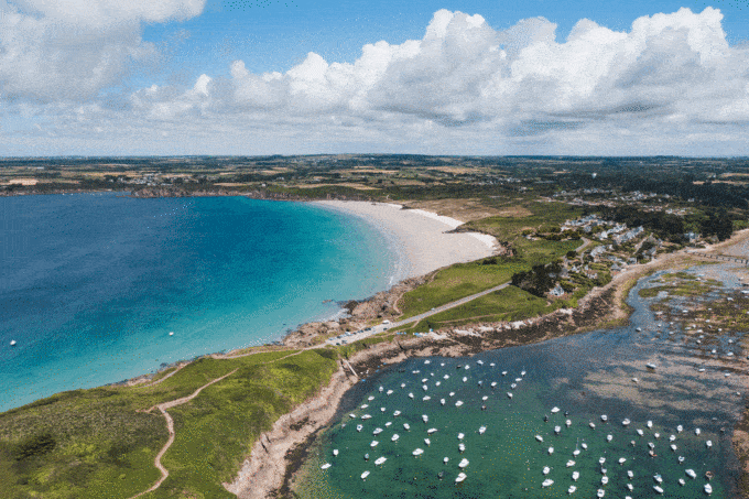
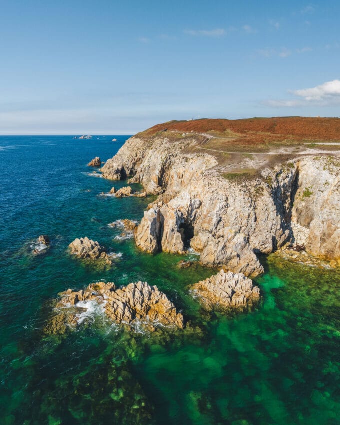
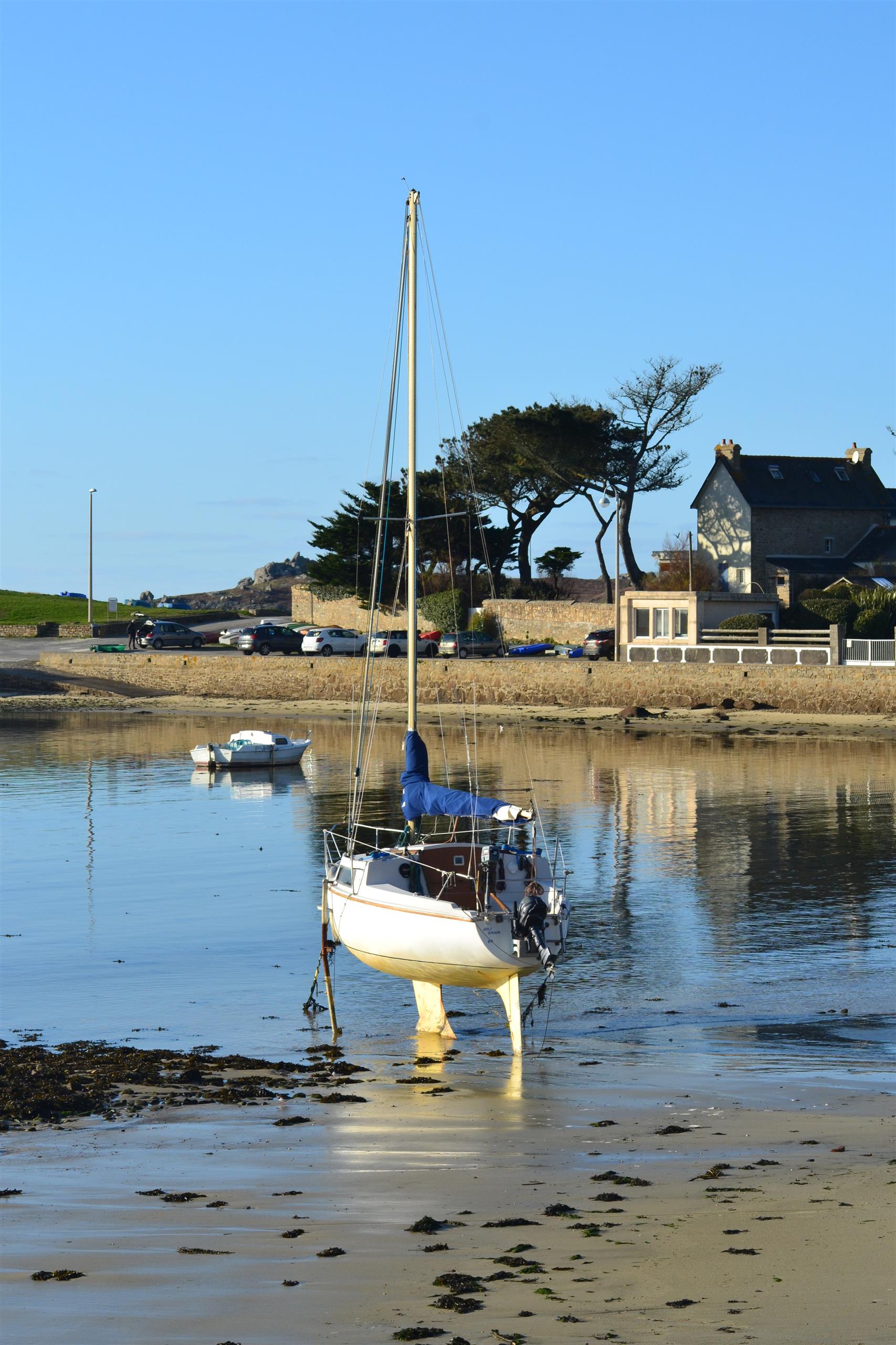
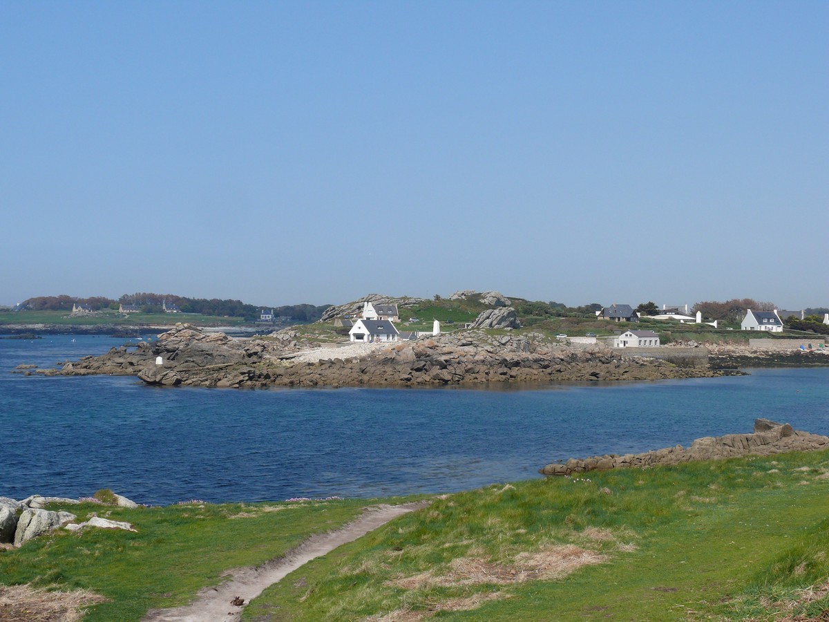
Ar Mor cycle route - Porspoder / Landunvez / Portsall

Walks
Ploudalmézeau Ploudalmézeau
  • Type Cyclotourist
  • Distance 23 Km
  • Duration 2h
  • Difficulty Easy
  • Walks
Port d'Argenton
Saint-Laurent peninsula
Tremazan Castle
Saint-Samson chapel
Saint-Gonvel chapel

About us

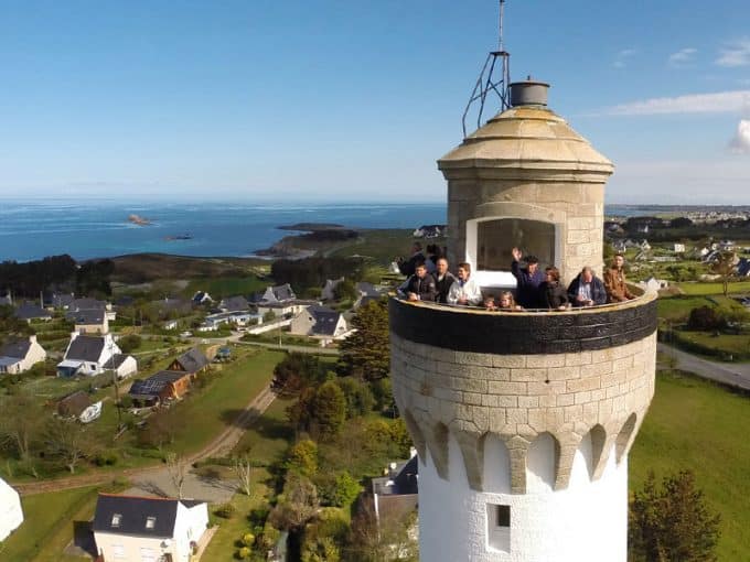
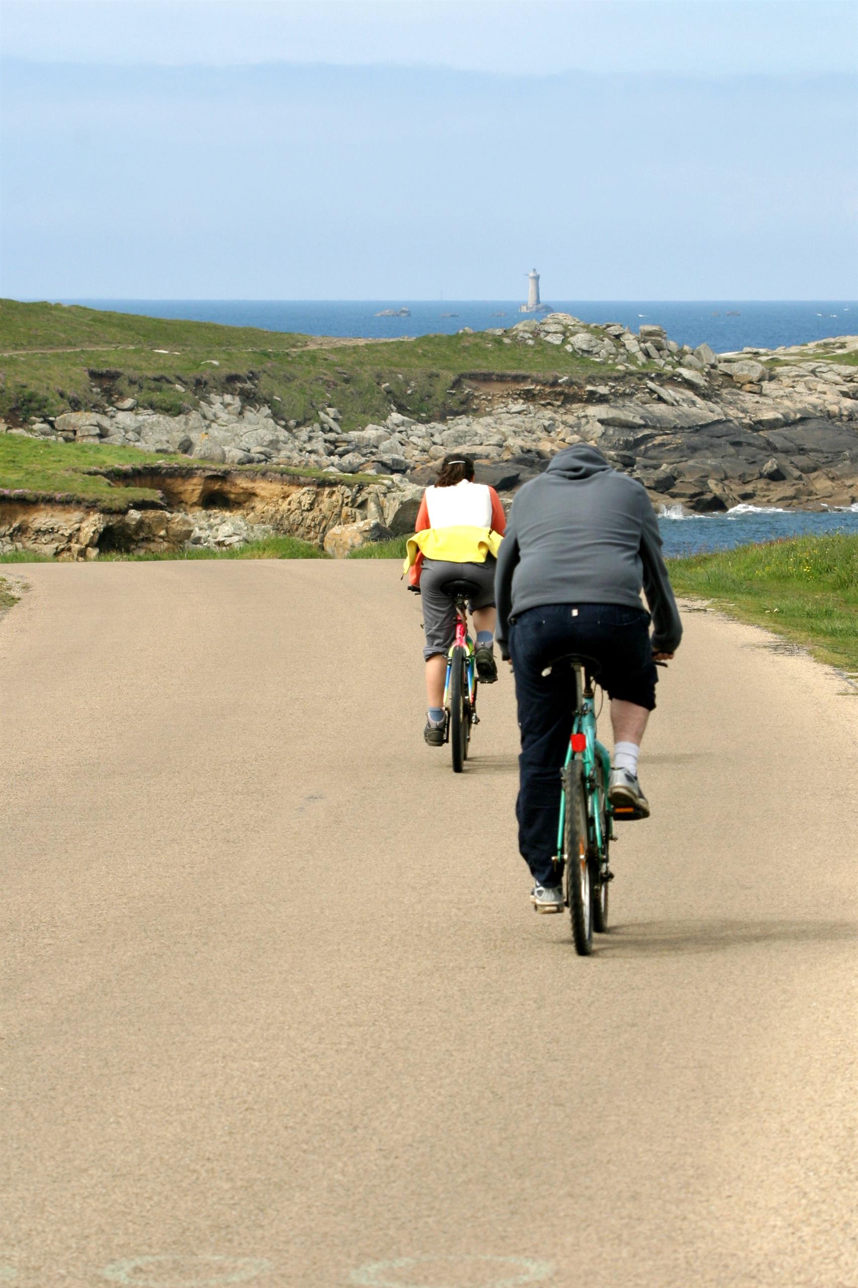
Cycling is a great way to get around Iroise. It's an original way to discover sites that have marked the history of our Pays d'Iroise! Listen to your desires and set off on an adventure on the signposted circuits that will take you through many of our region's communes.
4 bike circuits guide you through the countryside or along the Pays d'Iroise coast (An Envor circuit, Ar Mor circuit, An Avel circuit, Al Lenn circuit).

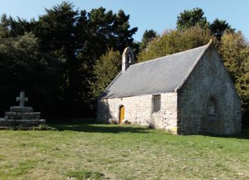
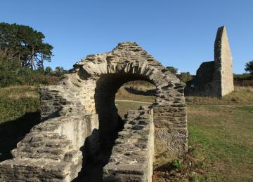
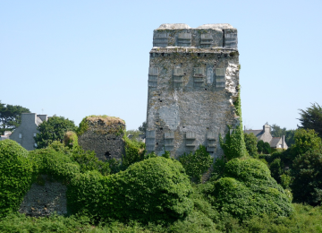
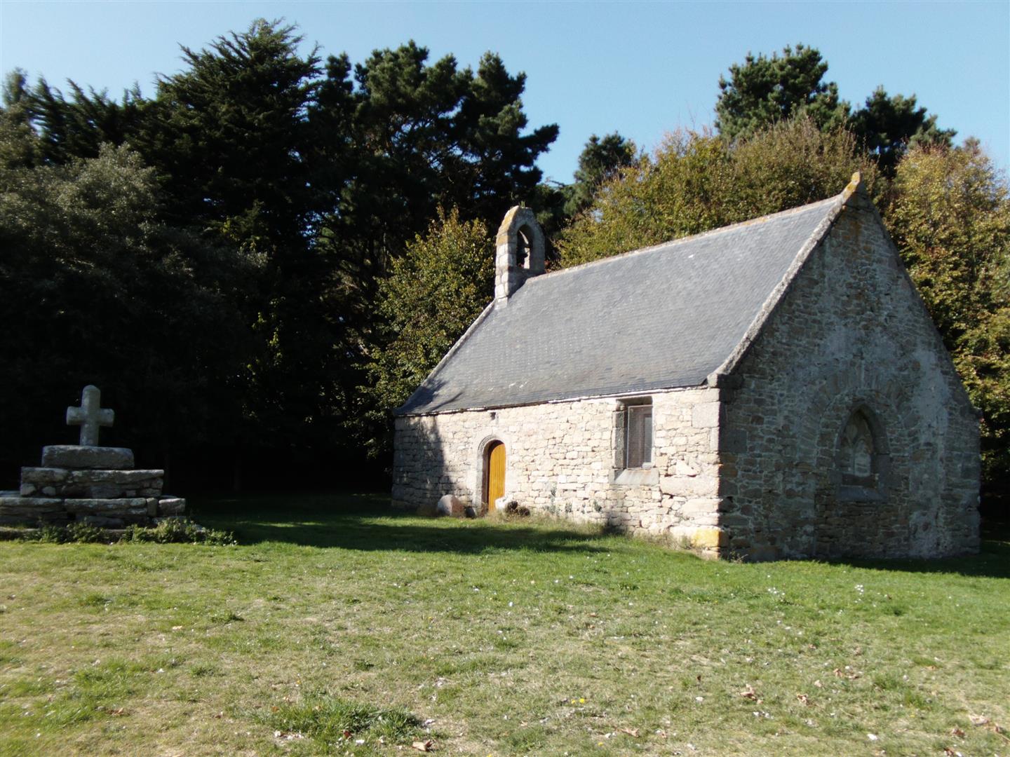
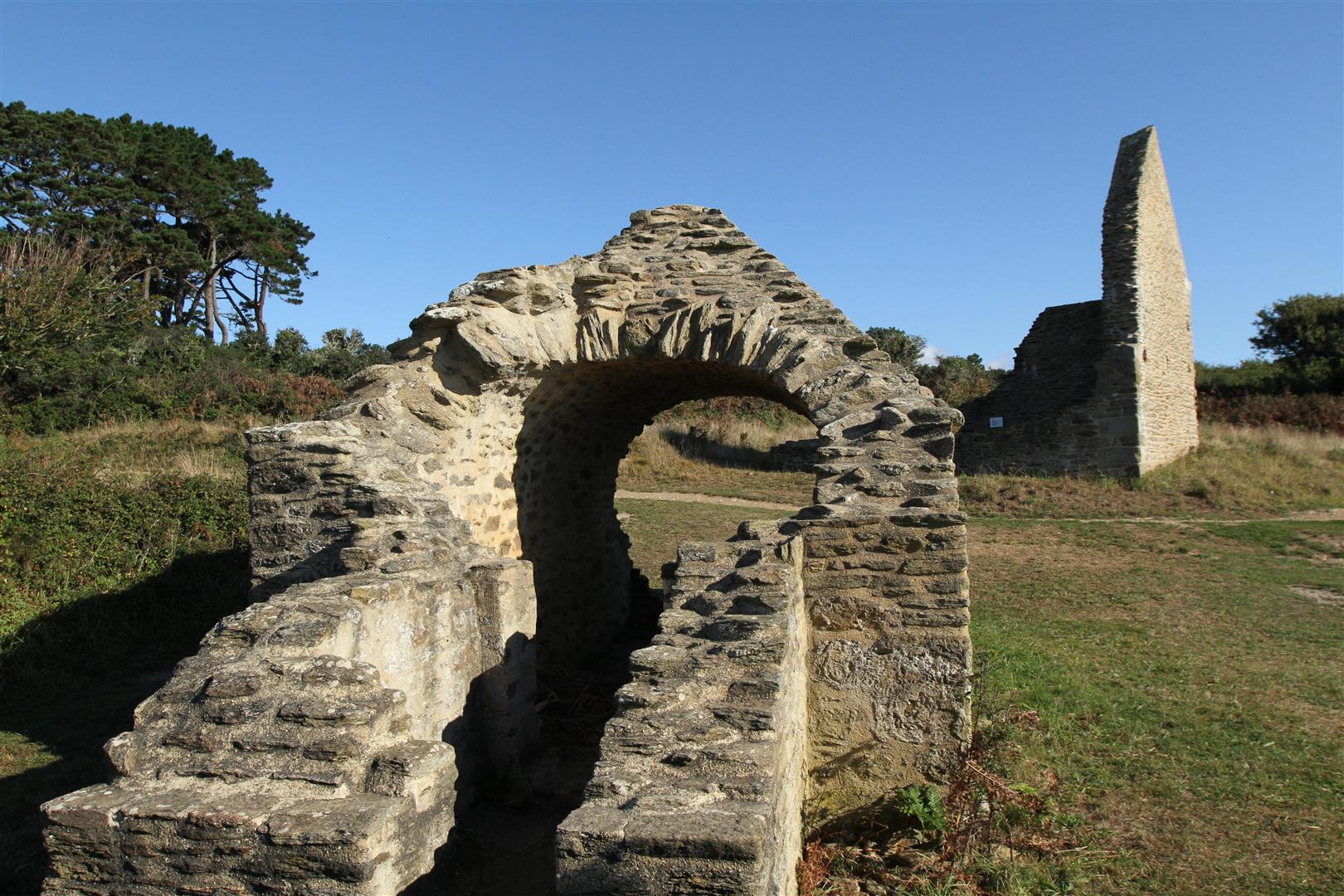
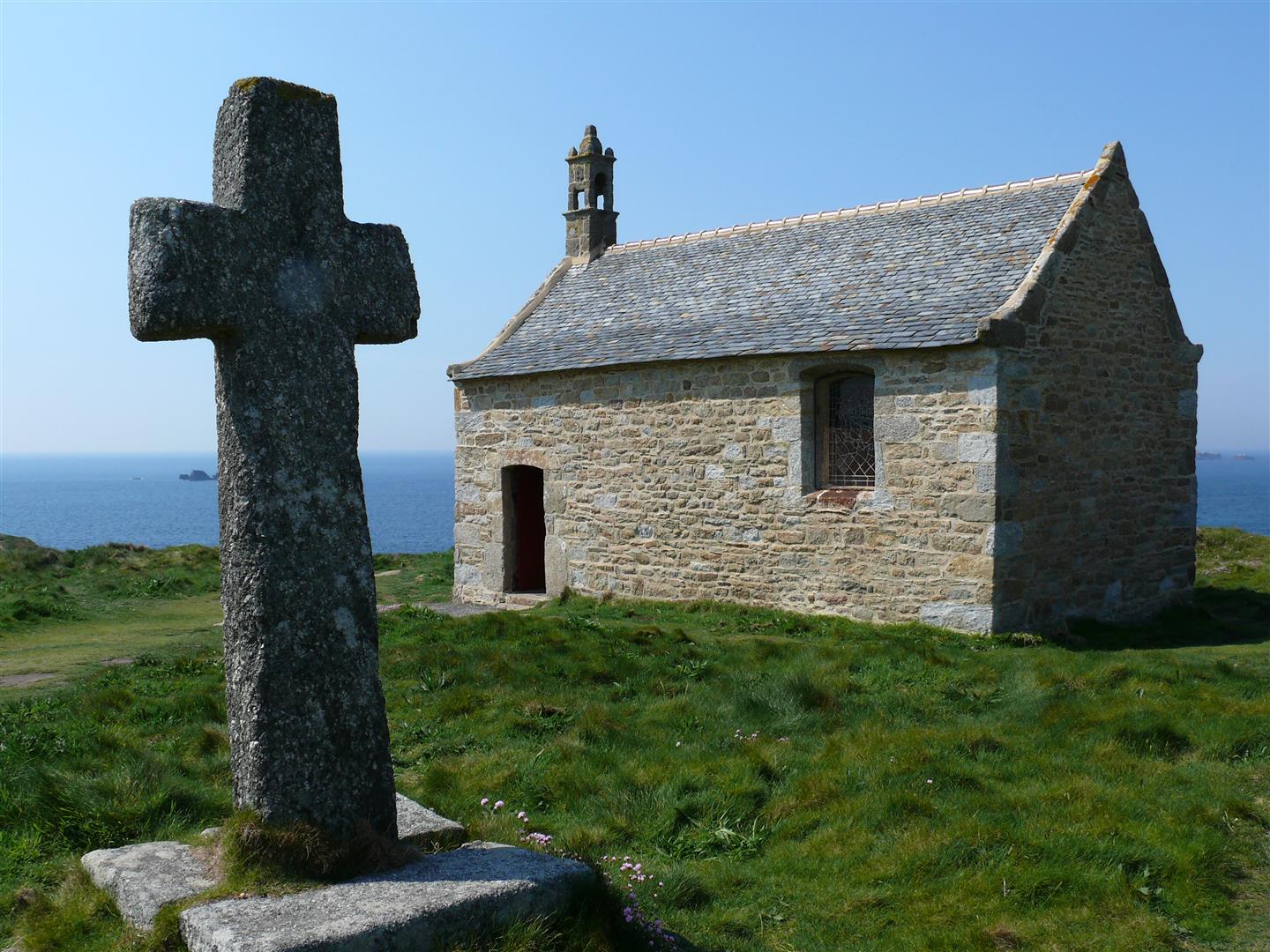
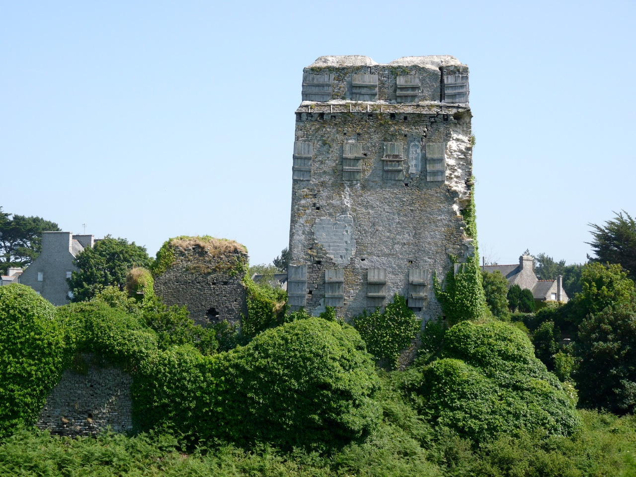
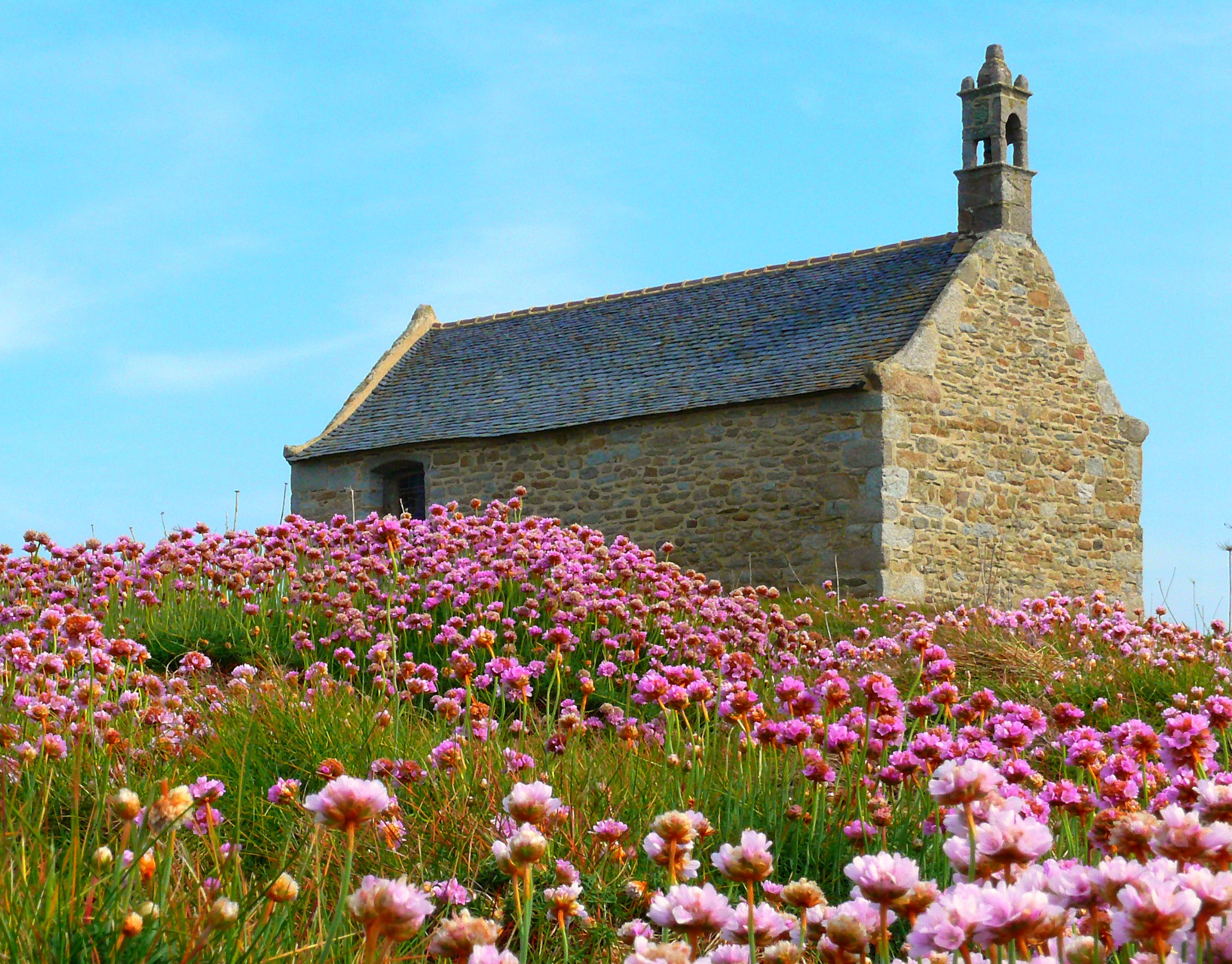
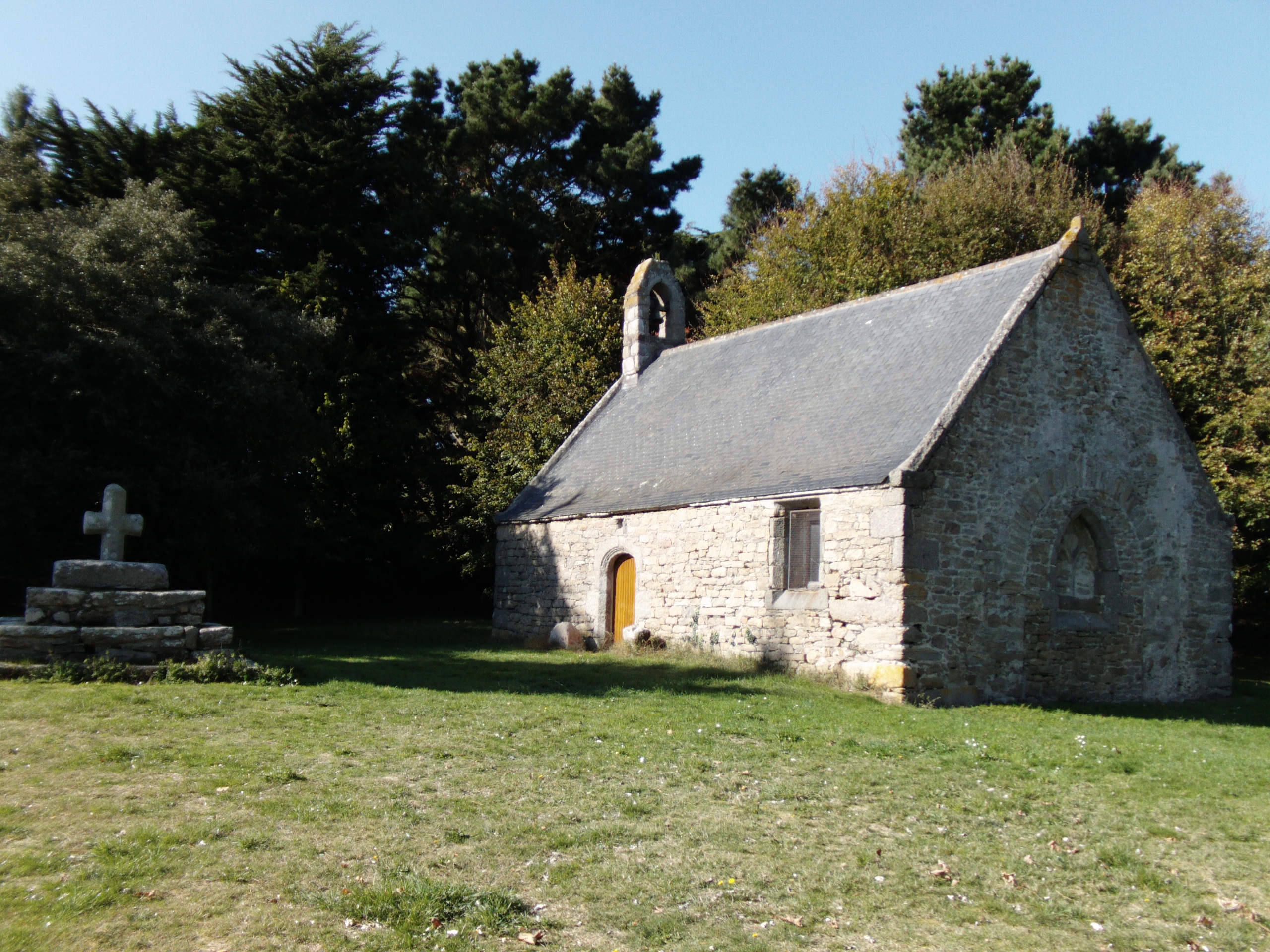
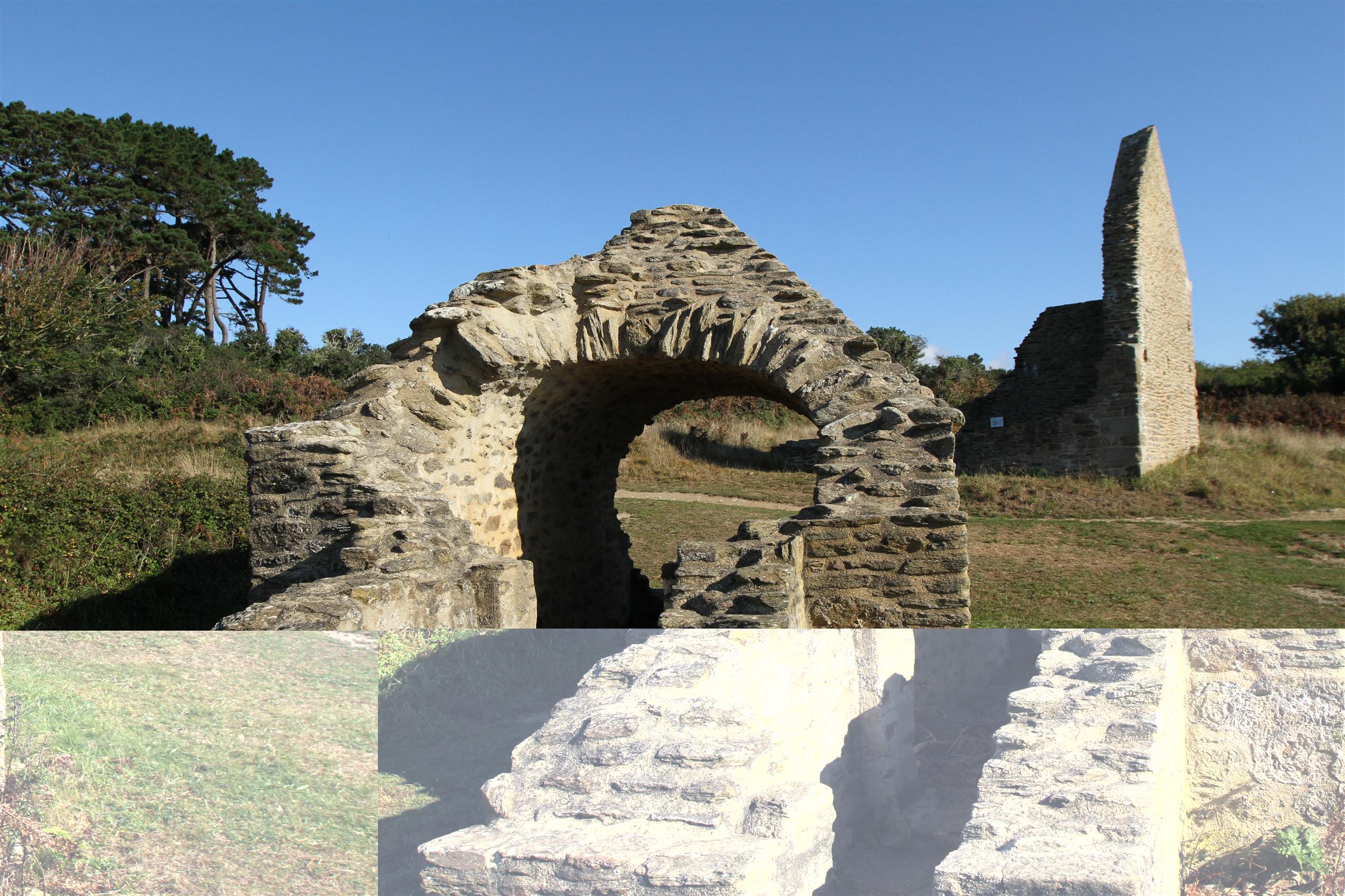
Along the way, take the time to put your foot down and read the heritage interpretation panels.

The "Ar Mor" cycle route is signposted in both directions.
At special intersections, the "Ar Mor" cycle route signs have a blue dot.

A few rules of safety and good conduct:
- Before setting off, check the condition of your bike and take along a repair kit
- Respect the highway code: ride in single file, wear a mask: it is compulsory for children under 12 (CSIR of 02/10/15).
- Always take a snack and a drink with you
- Respect private property
- Don't litter, respect nature by using the garbage cans
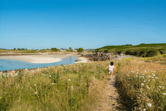
- Please note: bicycles are not allowed on the coastal path.

See the bottom of the page for all the activities and restaurants in the area.

Documents to download
Itinerary
Step 1/10:

DEPARTURE: Car park of the "Ancre An Eor" museum.
Portsall, the port of Ploudalmézeau, was made famous by the Amoco Cadiz disaster. The tanker sank here on March 16, 1978, spilling over 220,000 tonnes of oil into the Iroise Sea and far beyond. A 300 km stretch of coastline was contaminated. L'Ancre An Eor recounts the story of an event that became an incredible human adventure.

Portsall harbour and museography

This beautiful viaduct, crossed by a narrow road, was built between 1911 and 1913 to allow a railroad line linking Brest to Porspoder to cross this deep valley. In its Portsall-Porspoder section, the "potato train" was in deficit and therefore only served for 22 years. During the Second World War, the Germans put it back into service for their own use. After the war, the rails were removed and a narrow road replaced the track.

The Kersaint viaduct

The center is characterized by the old houses of wealthy merchant captains built in the 17th and 18th centuries.

The peninsula boasts a soda furnace that was once used to burn seaweed. The "soda bread" resulting from this combustion was then transported to the iodine factories.

The Saint-Laurent peninsula

It is home to a large fleet of fishermen and yachtsmen. Opposite the port, Yoch Island, a nature reserve, rises to a height of 25 metres. Further out to sea, 2km away, the Four lighthouse stands at the northern entrance to the channel of the same name. It stands 28 metres tall and is equipped with a foghorn.

The port of Argenton

The chapel is believed to have been built in the 16th century, on the site of the Saint-Gonvel hermitage, which was invoked to cure childhood illnesses. The cross next to the chapel dates from the Middle Ages. Nearby, the Saint-Gonvel dolmen stands on a mound.

Saint-Gonvel chapel

This wild coastline, where you can feel the true force of nature, is a living, breathing spectacle to be enjoyed in all weathers.

The tourist route

The first semaphores appeared on the French coast in the early 19th century. They were the successors to the Genoese watchtowers. Electrosemaphores took over in the 1860s. They had two main functions: to communicate with ships and other semaphores using optical signals, and to act as a post office with the advent of the electric telegraph.

The ruins of the Kerhoazoc semaphore

Its founder, Saint-Samson, born in Wales, was one of Brittany's most famous bishops. All that remains of the enclosure is the cross and the fountain, the cemetery having disappeared. The water from the fountain is reputed to help young children walk.

Saint-Samson chapel

Set in a mysterious and legendary site, the ruins of the ancient fortress stand majestically, facing the sea. A 14th-century legacy, it is a "rare testimony to military and seigniorial architecture in Brittany".

Trémazan castle
Getting there with Google Maps