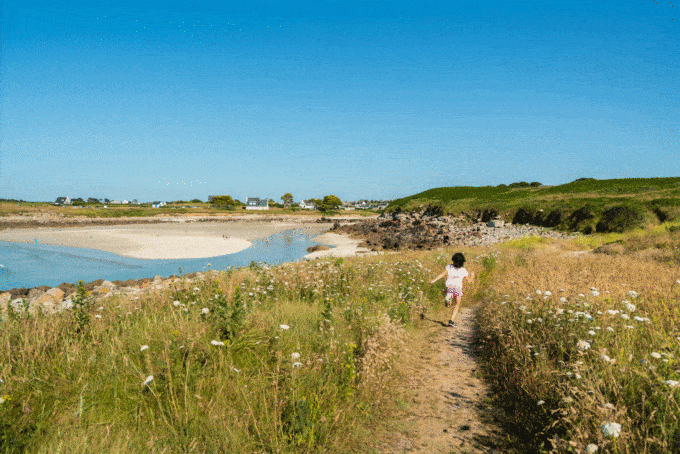
Sound walk in Lanildut - Côté Mer

Lanildut Lanildut
  • Type Pedestrian
  • Distance 3.5 Km
  • Duration 1h30
  • Difficulty Easy
Sea gull
Seaweed oven
Aber Ildut battery cannon
The fire house
Blockhouse

About us

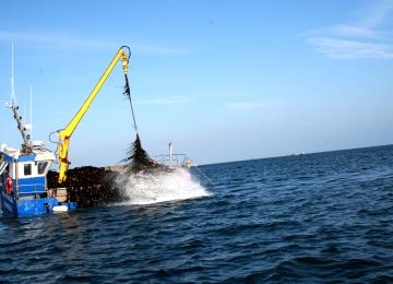
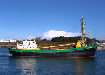
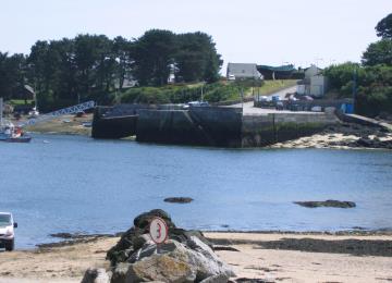
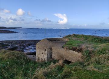
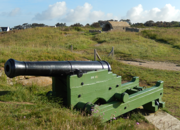
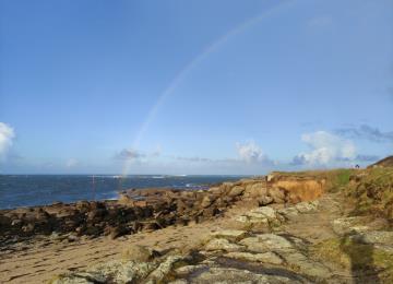
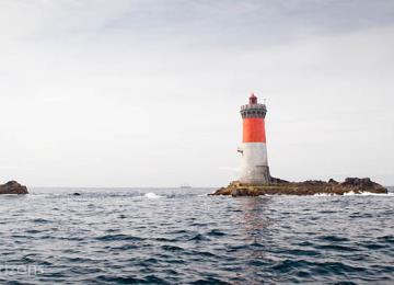
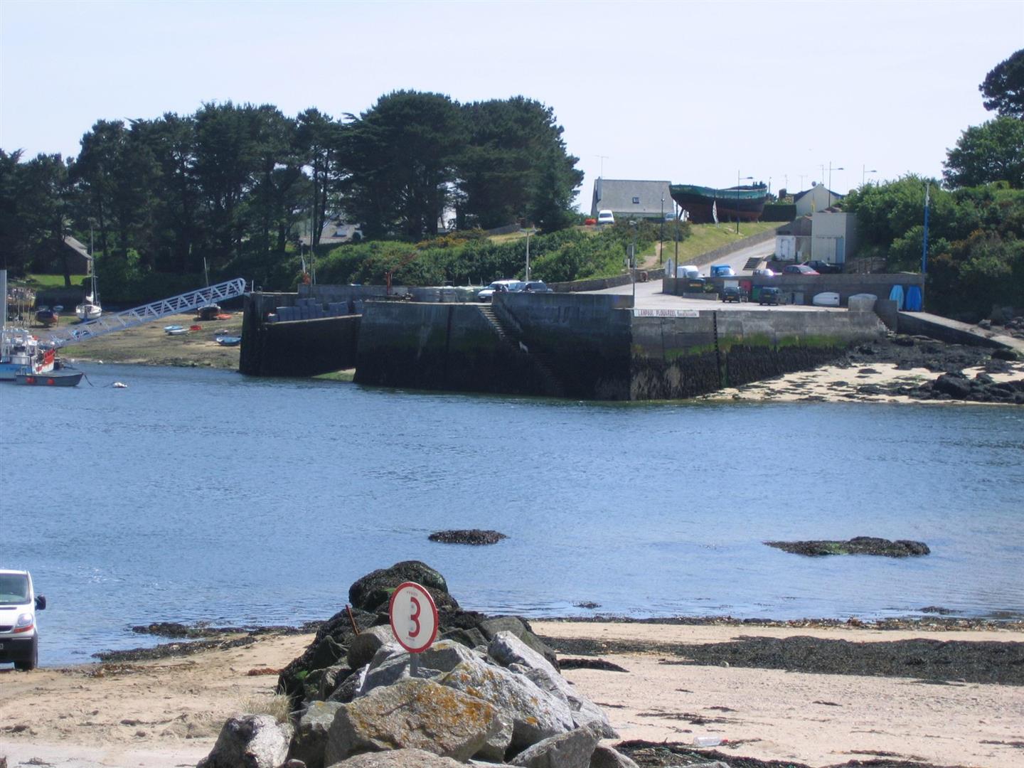
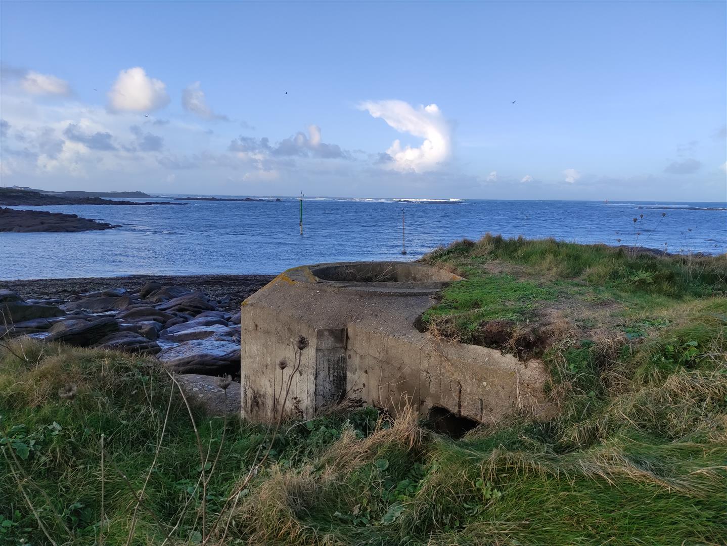
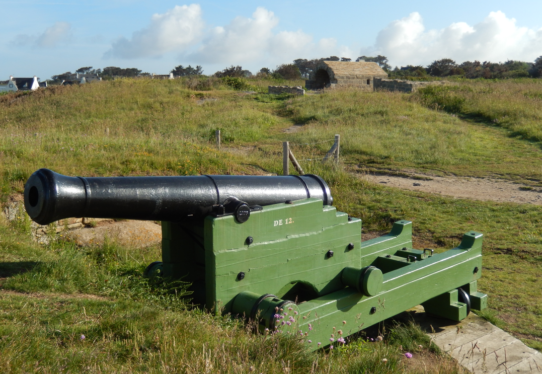
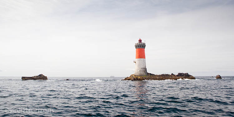
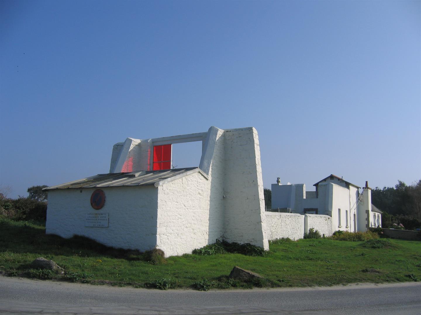
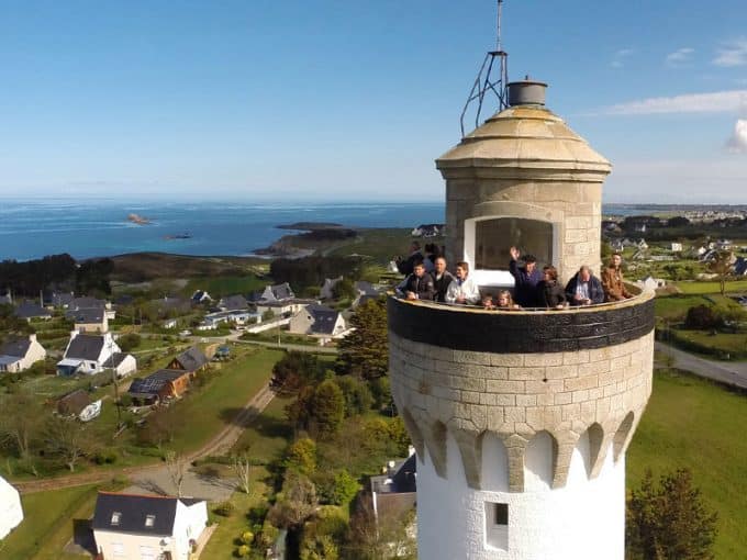
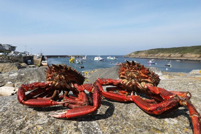
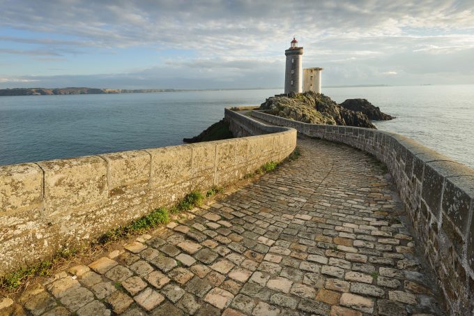
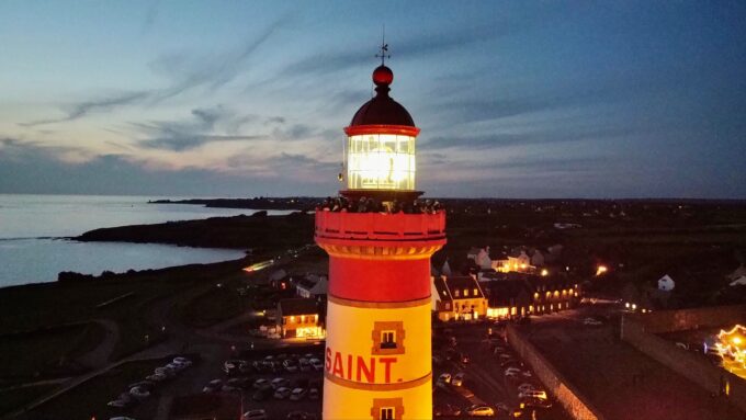
On this tour, you'll discover the port of Lanildut, Europe's 1st seaweed port (seaweed unloading), where 35,000 tons of seaweed are unloaded every year (3/5th of French production), a former pink granite quarry and the Lanildut lighthouse.

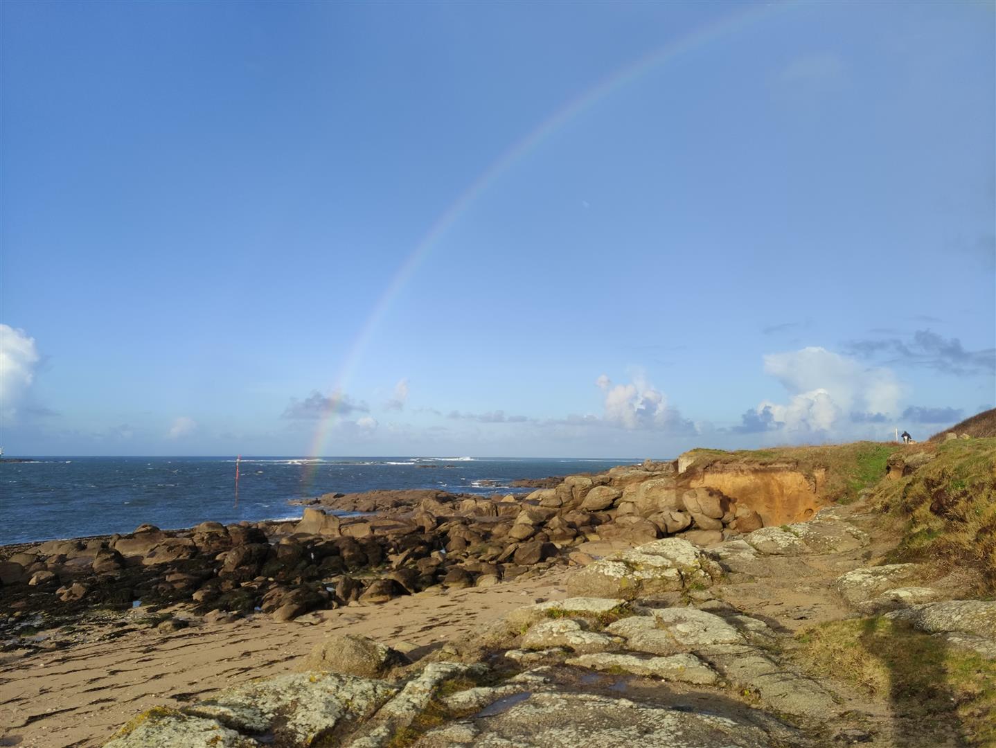
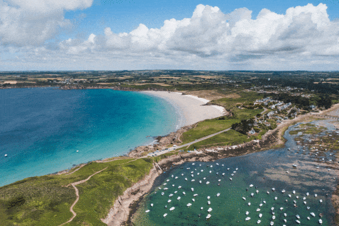
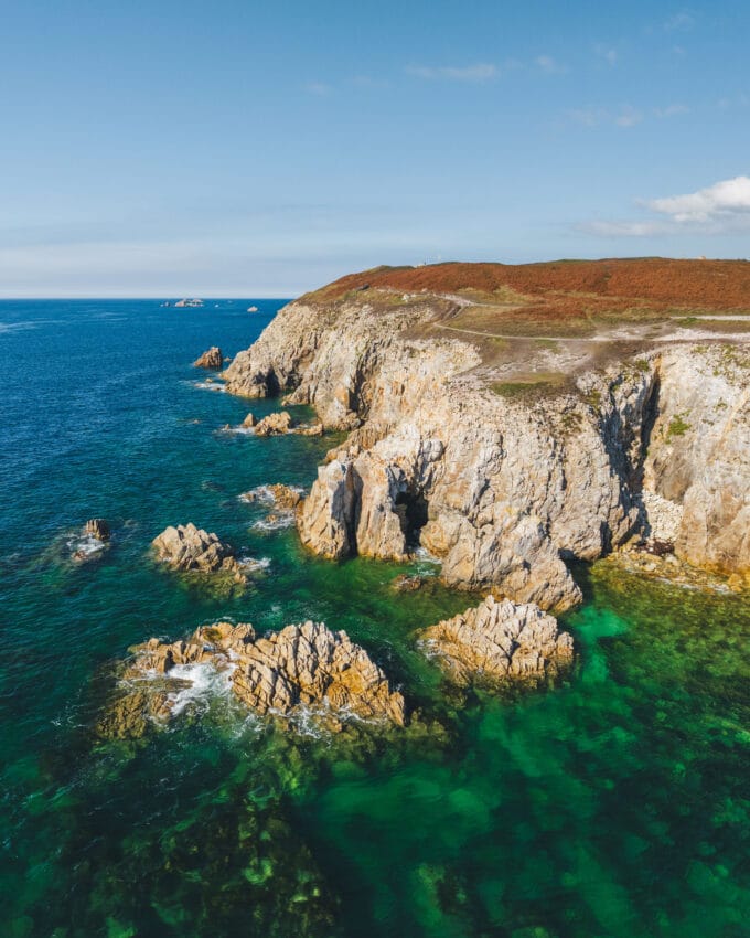
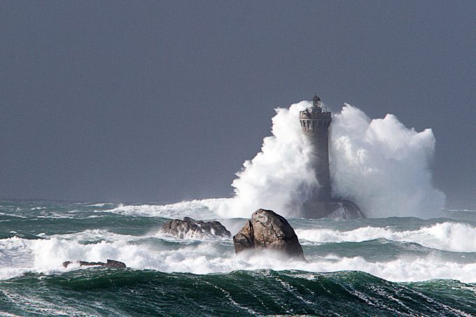
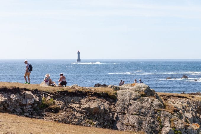
This walk will be enhanced by a magnificent panorama of the Iroise Sea and its islands.

This tour can be found on the "Secret d'Iroise" app (downloadable for smartphones), for an interactive stroll punctuated by photos and videos immersing you in the history of Lanildut and Aber Ildut.

For more walking trails, visit the Iroise Bretagne Tourist Office, where paper randofiches and topoguides published by the Fédération Française de Randonnée du Finistère are available.

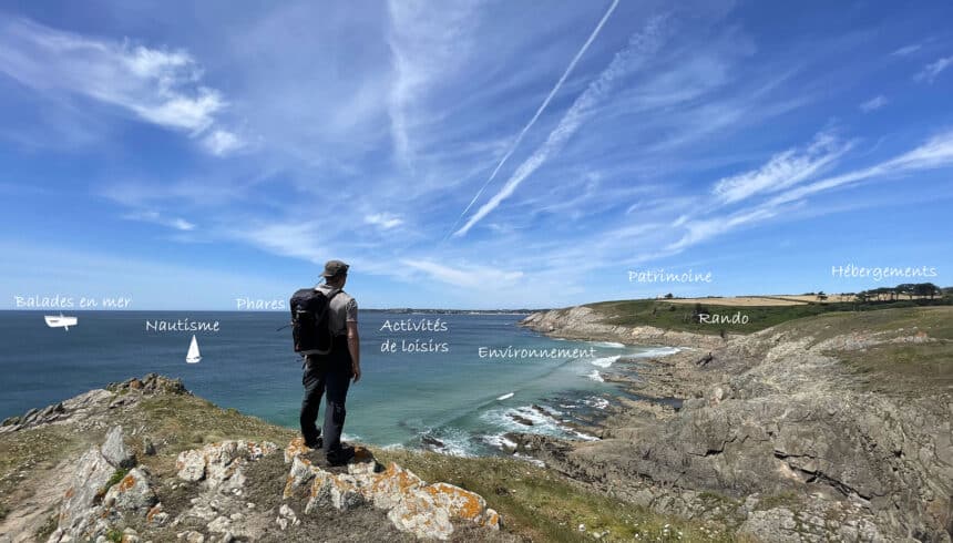
At the bottom of the page, see all the activities and restaurants in the area.

Documents to download
Itinerary
Step 1/12:

To begin your stroll, head for the footbridge overlooking the harbour. It's at the back of the seaweed house.

You're standing in front of Europe's leading seaweed unloading port. Over 35,000 tonnes of seaweed pass through here every year. Loaded onto trucks, they are sent to factories in the region for use in food and cosmetics.

The seaweed port

Take the stairs on your right and head for the beach on your right.

Gabares are traditional vessels used for transporting goods and extracting sand.
In the 19th century, the Aber Ildut was mainly animated by the activity of these boats. This activity supplied a large proportion of the mortar needed to build many of the structures in the Brest region during the Industrial Revolution.
This activity ceased in 1995.

In the days of the gabares

Turn around and head up the coastal path on your left.
Stop in front of the seaweed kiln, indicated by an explanatory plaque.

This oven was once used to burn seaweed. The seaweed was first harvested by the men aboard their boats. The women then went down to the shore to fill their carts, then dried the seaweed on the dune before burning it in the oven.
The ash became a compact block called "soda bread", which was then transported to the factories. These soda loaves were used in the glass industry and for iodine extraction.

The seaweed oven

Go down below and, if you can, stand at the end of the dike, on this large rock called Toad Rock.

At the narrowest point of the Aber Ildut, 150 metres separate us from Porscave, the harbour just opposite.
But if you take the road around the river, that's more than 10 kilometers!
That's why, from 1922 to 1980, ferrymen made the crossing in their rowing boats, in exchange for a coin.

The smugglers

On your left, you can see 2 concrete blocks. Join the coastal path and walk a few metres to reach a blockhouse.

The remains of a blockhouse and two small concrete structures can be seen here.
In 1942, the Atlantic Wall began to be built, with the construction of fortresses and multiple support points, as here in Lanildut.
If you keep your eyes open, you'll also see traces of wartime concrete and iron posts on the rocks.

The blockhouses of war

Follow the coastal path to the cannon!

This battery was built in the 18th century to watch over and defend the Aber Ildut during the 7 Years' War.
It has been the subject of a restoration and enhancement project by the Conseil Général du Finistère, the site's owner.

The battery / Defending and monitoring Aber Ildut

Continue along the coastal path and enjoy the view. After a 3-minute walk, stop at the stone bench facing the sea after the first road on your right.

Opposite you, the Iroise Sea and the Iroise Marine Park, created in 2007.
Its role is to manage this exceptional natural heritage and protect the biodiversity of these waters. Weather permitting, you'll be able to see the islands.
From left to right: Béniguet, Quéménès, Triélen, the Molène archipelago, Bannalec, Bannec and Ouessant.

The Iroise Sea

Head for the little house overlooking the sea, and feel free to sit in its garden.

In the 17th century, on Colbert's initiative, small houses like the one in front of you were built to combat smuggling along the Breton coast. A tax was levied on goods crossing the borders, with the aim of restricting the entry of Anglo-Dutch products as much as possible, enabling France to export a lot and import little.

Continue along the path until you reach the pink granite heap in the distance. At the intersection, turn left onto the Cléguer quarry.

Here you are at the heart of a former pink granite quarry, which has brought Lanildut to life since the mid-19th century. In 1905, over 45,000 tonnes of granite were exported from the commune.
These stones were used to build numerous buildings in the region, including lighthouses on the Mer d'Iroise, chapels and manor houses. Some of them even found their way much further afield, all the way to the banks of the Thames in London.

Turn around and retrace your steps. Stay on the asphalt road until you reach the main road.
Follow it for 30 m and, after the bus stop, turn right onto Ruludu.
Stop at the wash-house at the end of the road.

This is Pors An Eis Vinis. In the 1950s-1960s, this residential area was dotted with small houses built by the Chapalain contractor.
Though sometimes very different in architectural style, these houses are not bulky, but are ideally located for the summer season.
We call them "Ca me suffit".

Vacation time

From the wash-house, turn right towards the sea and then left along the coastal path. Stop at a wooden bench opposite the green and red buoys in the sea at the entrance to the port.

To reach the aber Ildut, ships have to pass through a 200-meter-wide channel between the Pierres Noires reef to the north and the Pointe de Men Garo to the south. After passing this point, they can either anchor at the entrance to the channel, in water depths of around three meters, or enter the harbor.

Port beaconing

Continue along the path and, after passing the blockhouse, turn left to face the fire house, a large white building with a red window.

The light house, like a lighthouse, is used to guide ships.
In 1897, the first red and white directional light was built on the gable end of a small rectangular building painted white.
The lightkeeper's house was built later, in 1922.
Today, it is still used as a sea wall during the day, and as a directional light with a 25-mile range at night.

The fire-house
Getting there with Google Maps