Hiking trail no. 29 - The washhouses trail

Walks
Pospoder Porspoder
  • Type Pedestrian
  • Distance 14 Km
  • Difficulty Medium
  • Walks
Presquile-saint-laurent
lighthouse-du-four
Maison de maître de barque rue du spernoc porspoder
Larret chapel

About us

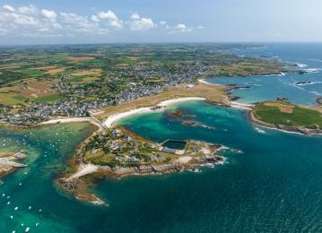
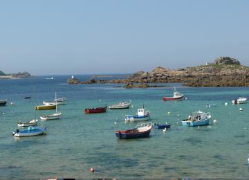
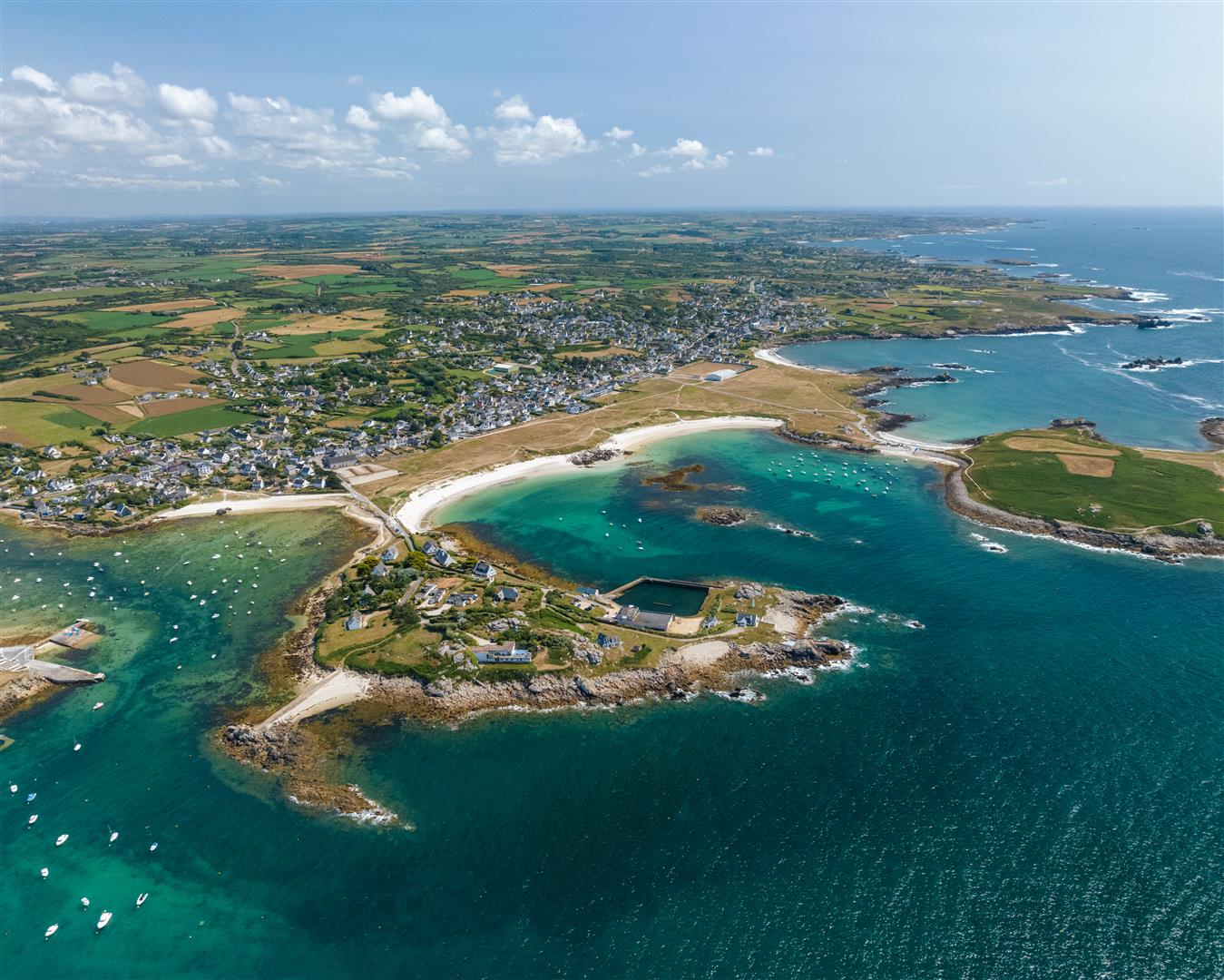
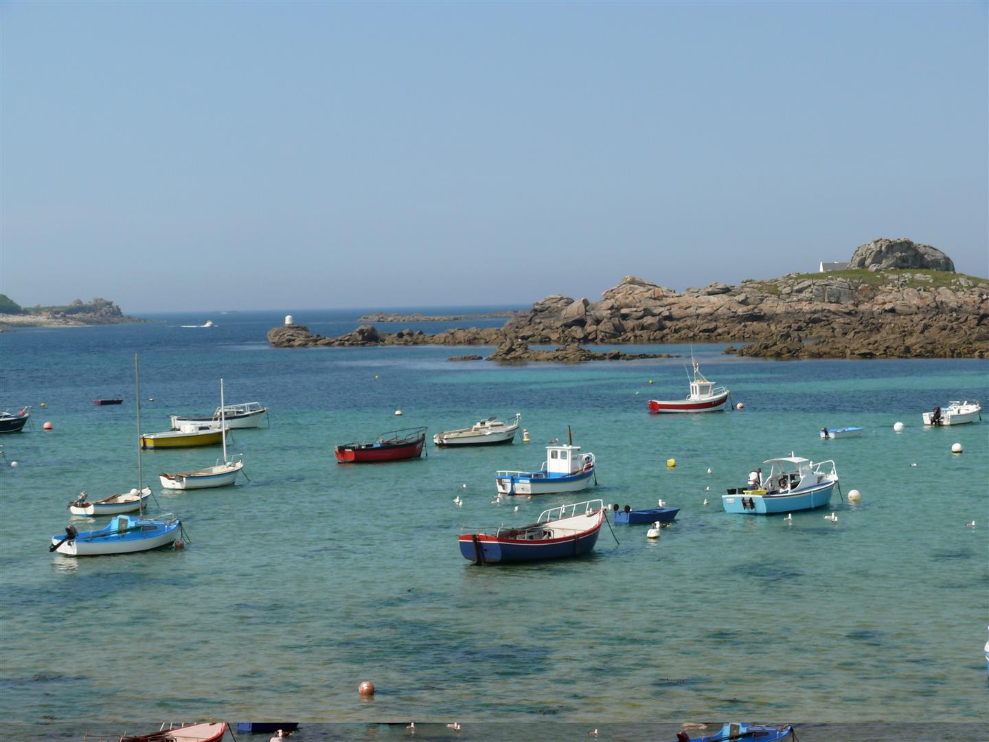
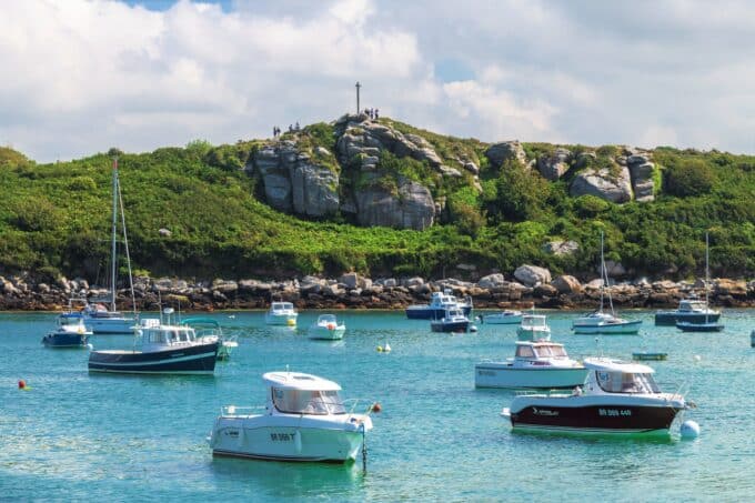
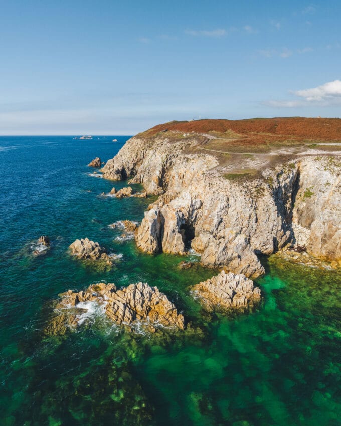
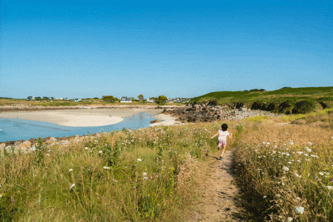
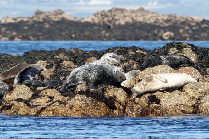
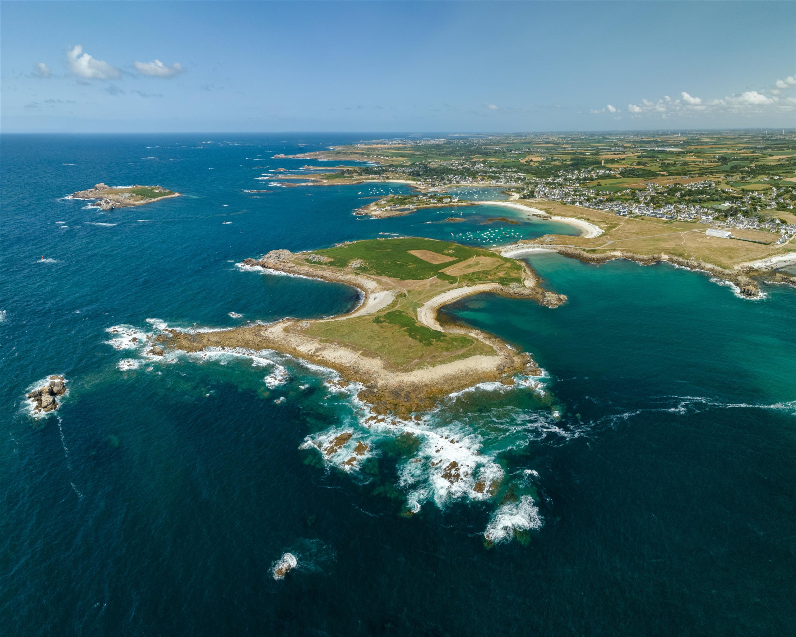
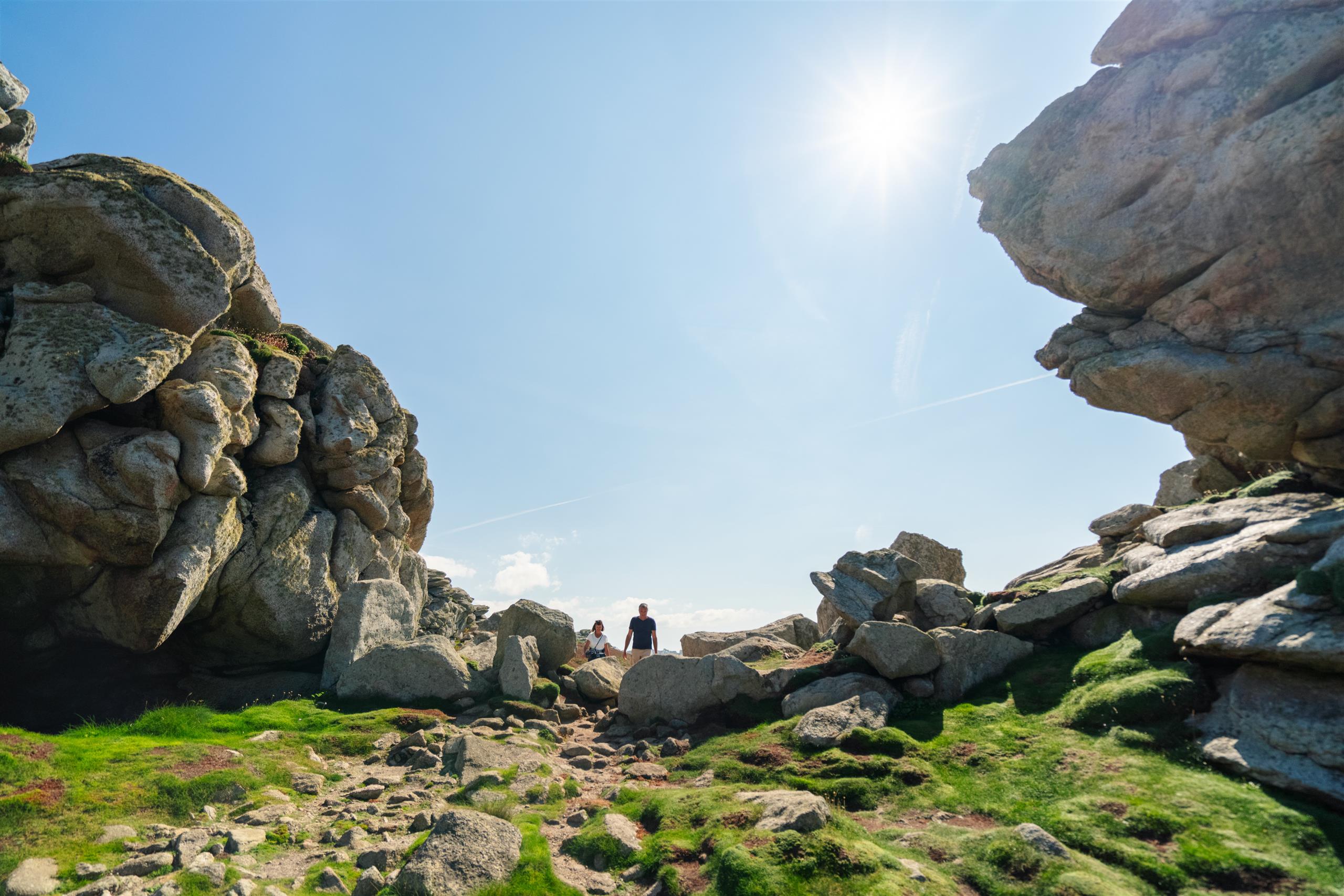
The scenery here is extremely varied.
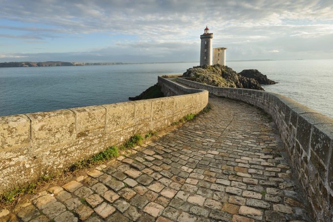
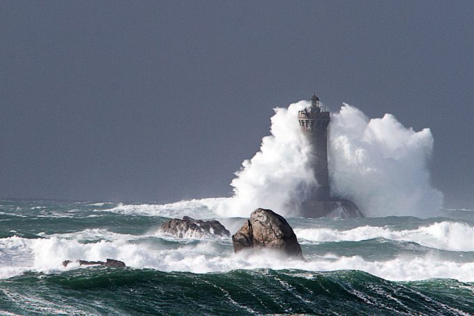
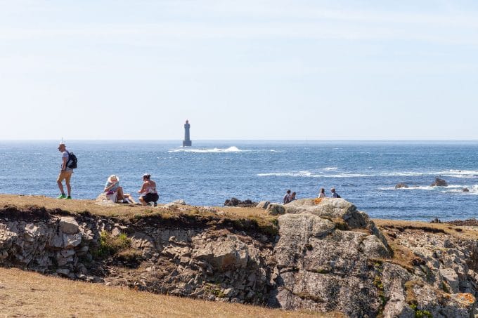
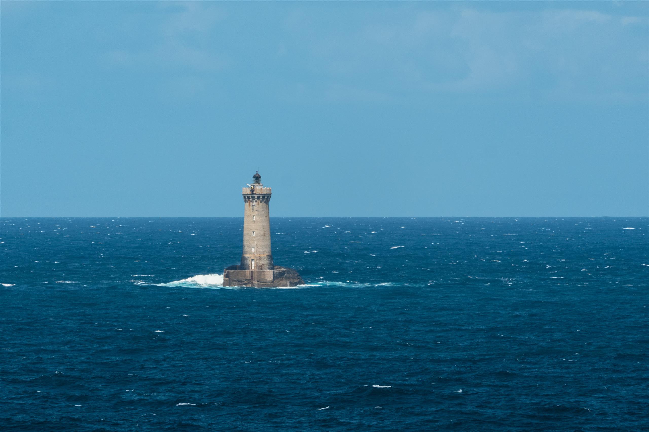
From coves to beaches, the path leads to the Four lighthouse.
This offshore lighthouse is 2.5 km from the coast.
Enough to make you dream.
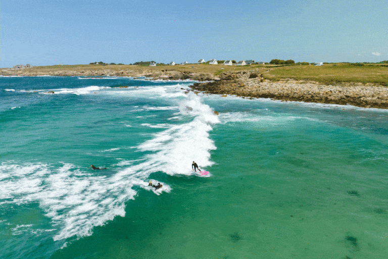
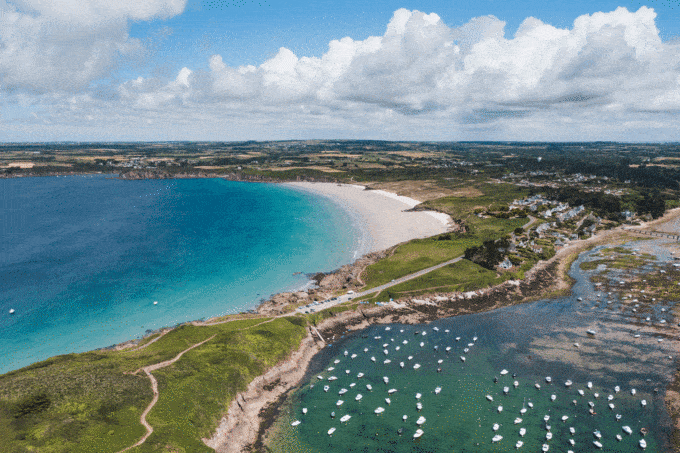
All around you, wide-open spaces and breathtaking landscapes are very similar to those of the wild Ouessantine coast... all without leaving the cow floor.
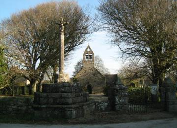
Finally, menhirs and goémon ovens punctuate the walk. They are all located at the south-eastern tip of the peninsula.

Another end of the world: the distance between the Presqu'île Saint Laurent-Porpoder (29- Finistère) and Rio Luigi-Menton (83-Var) is the greatest distance as the crow flies in France. In fact, the western end of the Saint Laurent peninsula is 1083 kilometers as the crow flies from the mouth of the Rio san luigi at Menton (Alpes-Maritimes), which is the greatest distance as the crow flies possible in mainland France.

The impressive number of washhouses shows the conviviality of the inhabitants in days gone by.

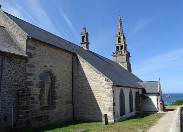
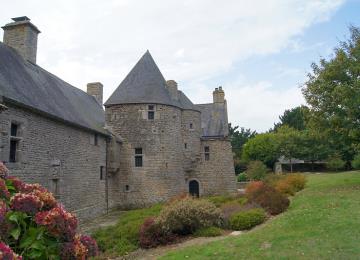
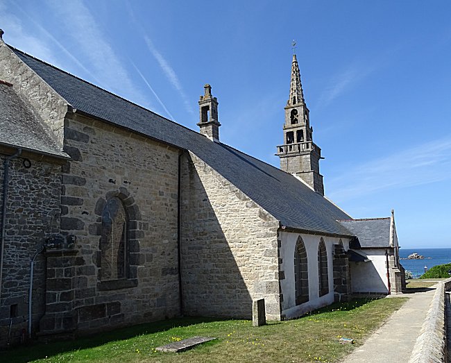
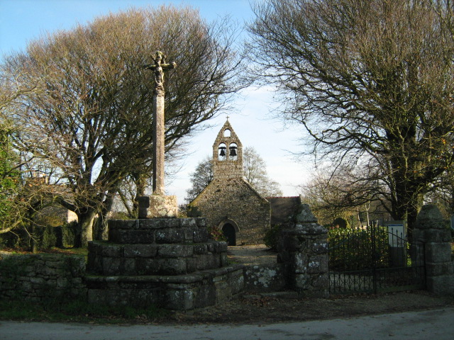
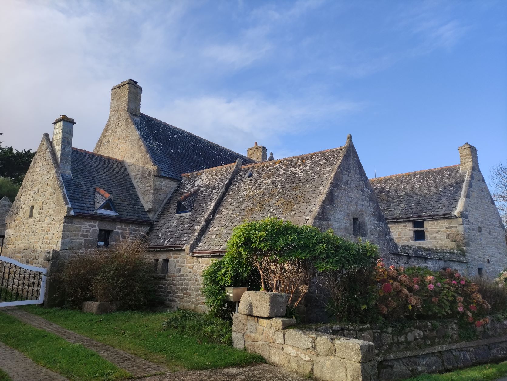
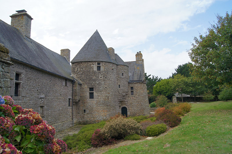
Along the way, you'll discover the washhouses, fountain and chapel of Larret, the manor house of Kérenneur, the menhir and rocks of the Saint-Laurent peninsula, and finally the chapel and church of Porspoder.

Markings:
- Parking Park Névez to GR 34 impasse du Vivier level > Yellow
- GR 34 impasse du Vivier level to GR 34 in front of restaurant château de sable >White - Red
- GR 34 in front of restaurant château de sable to parking de la presqu'île Saint-Laurent > Yellow
- Parking de la presqu'île Saint-Laurent to parking Park Névez > Yellow / White - Red

At the Iroise Bretagne Tourist Office, you'll find hard-copy hiking maps and topoguides published by the Fédération Française de Randonnée du Finistère.

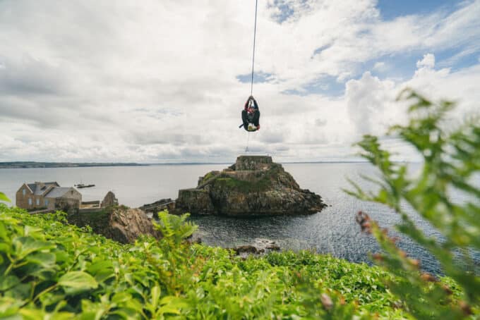
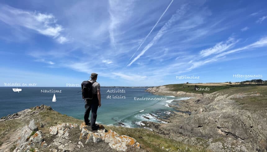
See the bottom of the page for all the activities and restaurants in the area.

Documents to download
Itinerary
Step 1/5:

DEPARTURE: you can park in the parking lot on rue Park Nevez.

The village of Porspoder was once a trève of the extensive parish of Plourin. An ancient building, the Notre-Dame chapel, located a little further up the square, was already mentioned in 1381. The present church (Saint-Budoc) dates from 1645. Its construction is in Aber-Ildut granite. The building was raised in 1857. A porch was added to the south side and a chapel to the north.
Since that date, the entrance has been via the side porch and not the bell tower door.
©Patrimoine Iroise

Saint Budoc Church

Shortly before the chapel, a pretty fountain can be seen on the right.

Chapelle Saint-Léonor de Larret

Built around 1400 by Hamon de Kergadiou, what is now a manor house was originally a simple fortified lookout post. Situated 1 km from a coastline much less populated than today, it was used to keep an eye on the sea and warn nearby manors of enemy landings. Every summer, small music concerts are held on certain evenings in a magnificent setting.

Kerenneur Manor

It is home to the Ifremer station, whose fishpond gave its name to the entire peninsula.
Beautiful properties occupy most of the peninsula.

Vivier peninsula

The peninsula is home to remains dating back to the Neolithic period. The remains of a table-less dolmen have been listed since 1923.
Several menhirs can be found in the south-east of the peninsula.
In addition, in the center of the peninsula, you'll notice the goémon ovens. These trenches, lined with flat stones, were dug by goémoniers. They were used to burn the seaweed they had harvested and dried, transforming it into soda ash. The latter were sold to iodine factories, which transformed them into soda, iodine or potassium salts...

Saint-Laurent peninsula
Getting there with Google Maps