Hiking trail #12 - The cliffs of Déolen

Walks
Locmaria-Plouzané Locmaria-Plouzané
  • Type Pedestrian
  • Distance 12 Km
  • Duration 3h
  • Difficulty Medium
  • Vertical rise 305 m
  • Walks
Deolen
Deolen
Deolen
Toulbroc'h
Lesconvel, fishpond

About us

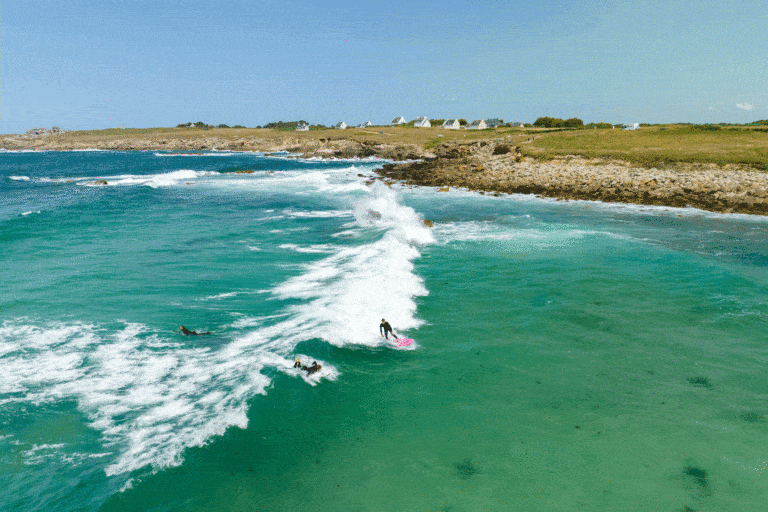
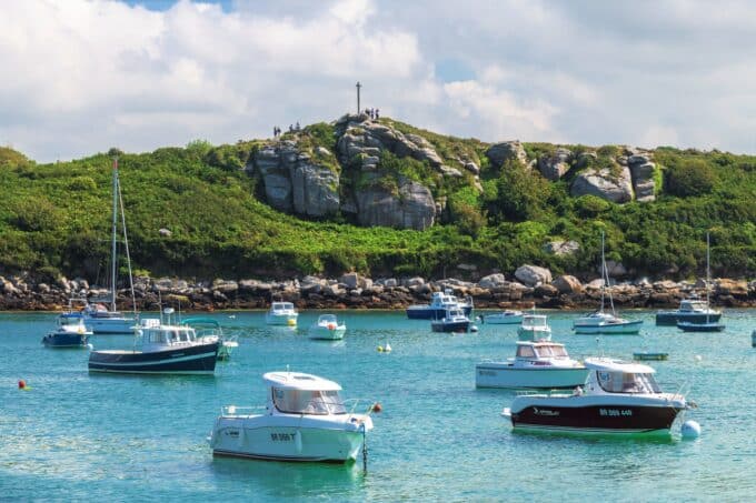
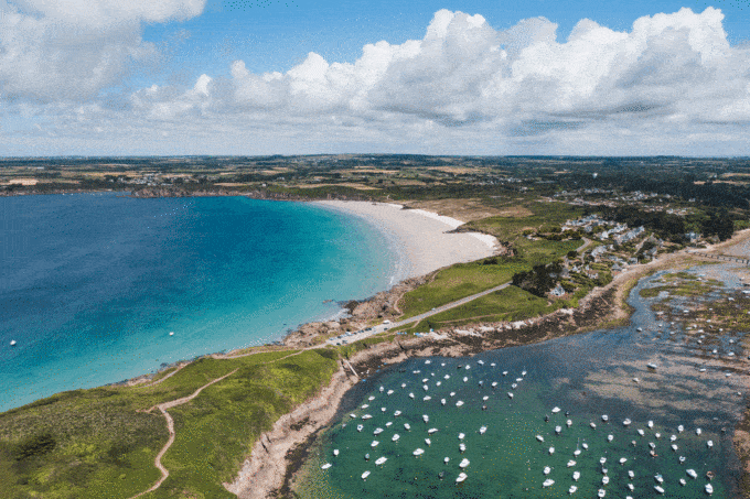
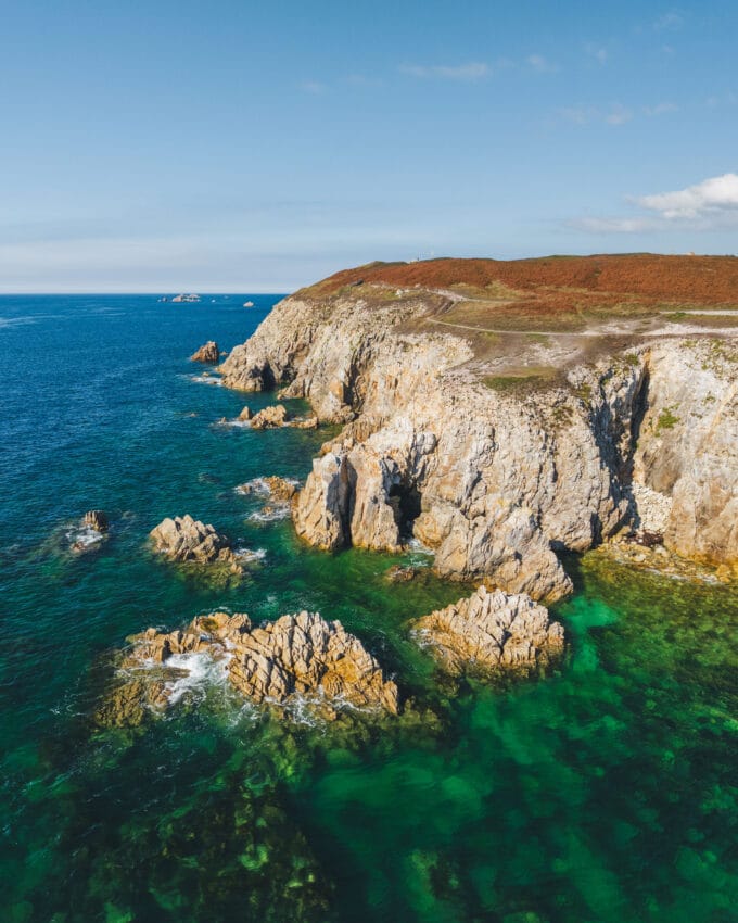
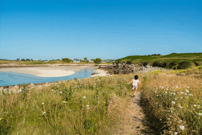
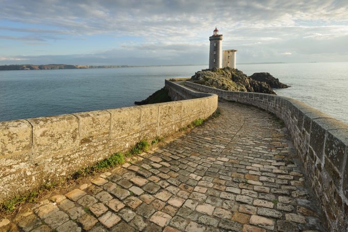
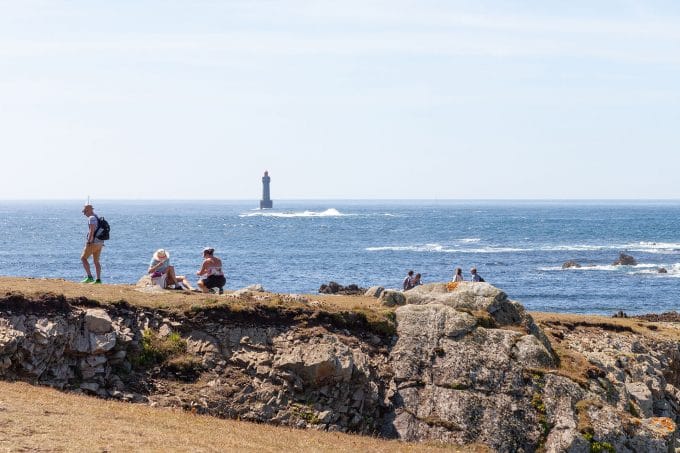
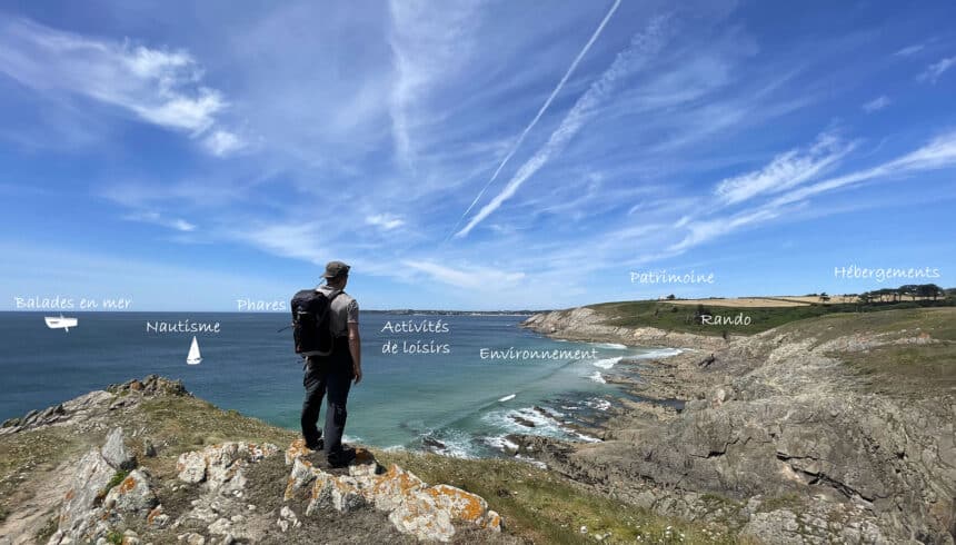
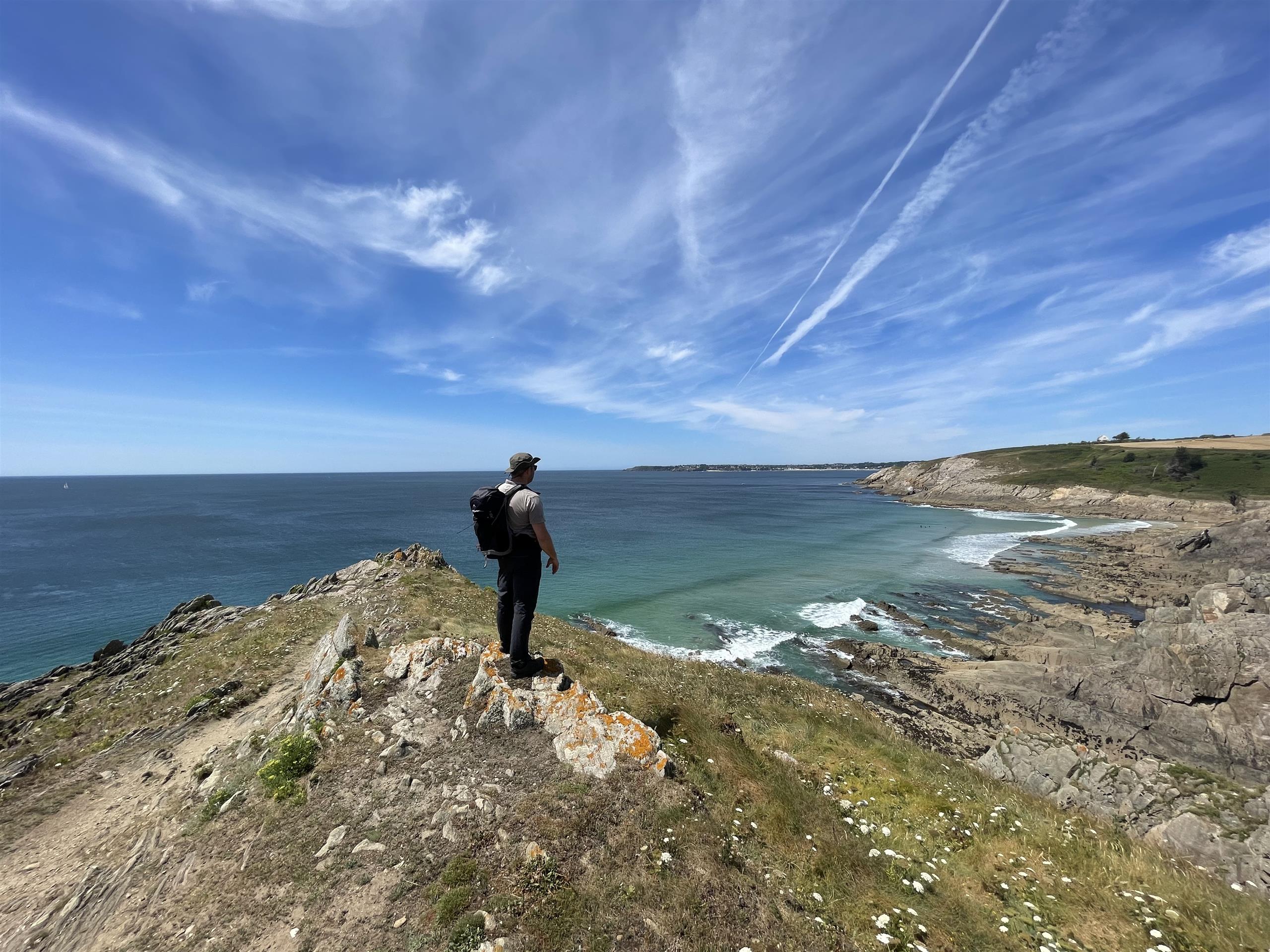
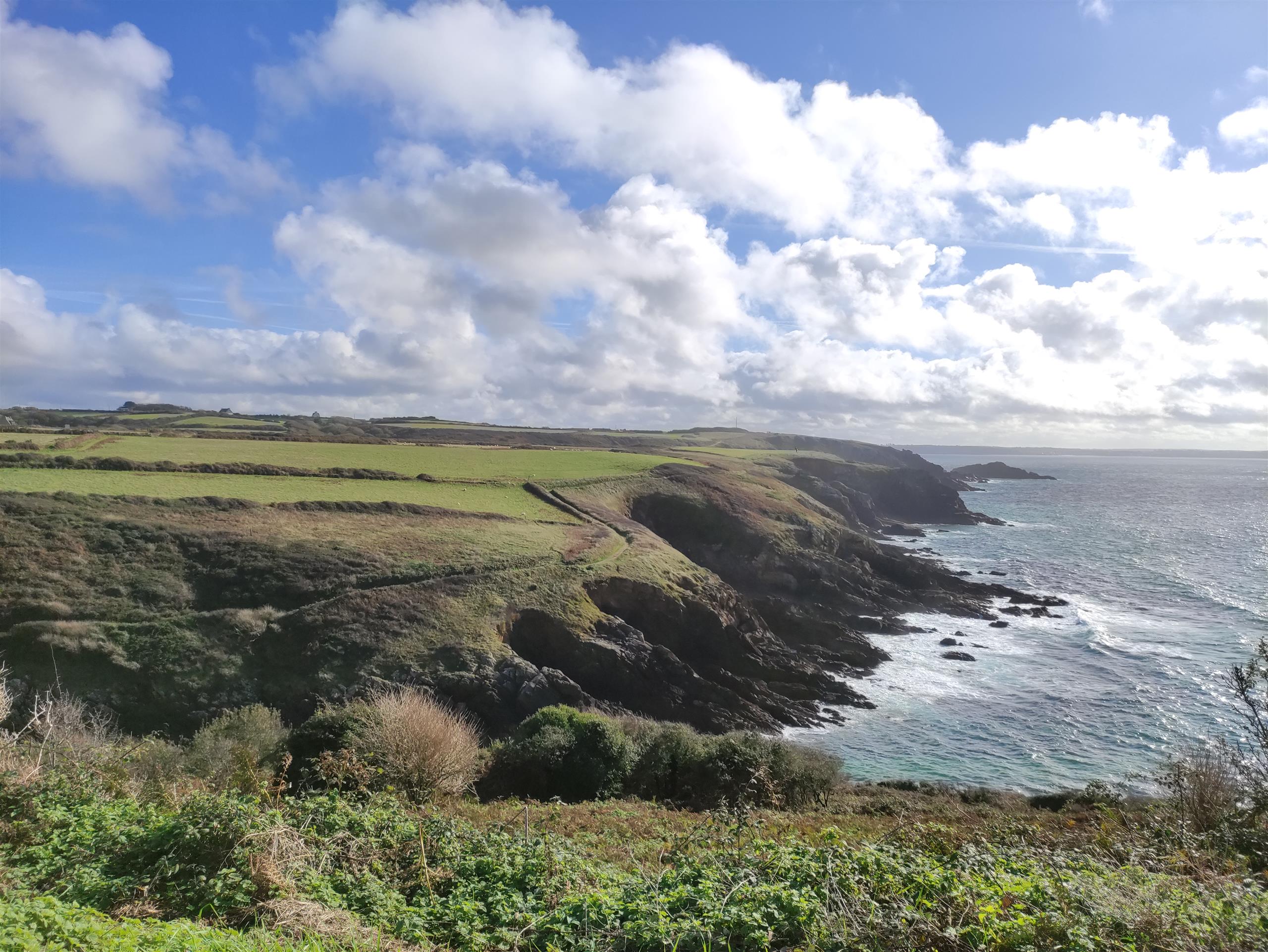
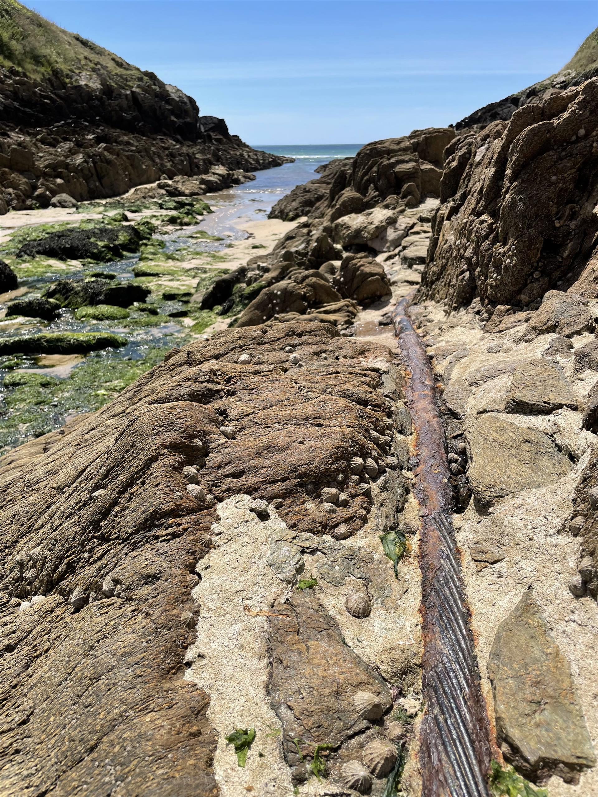
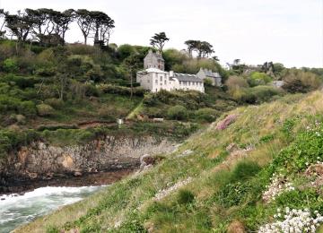
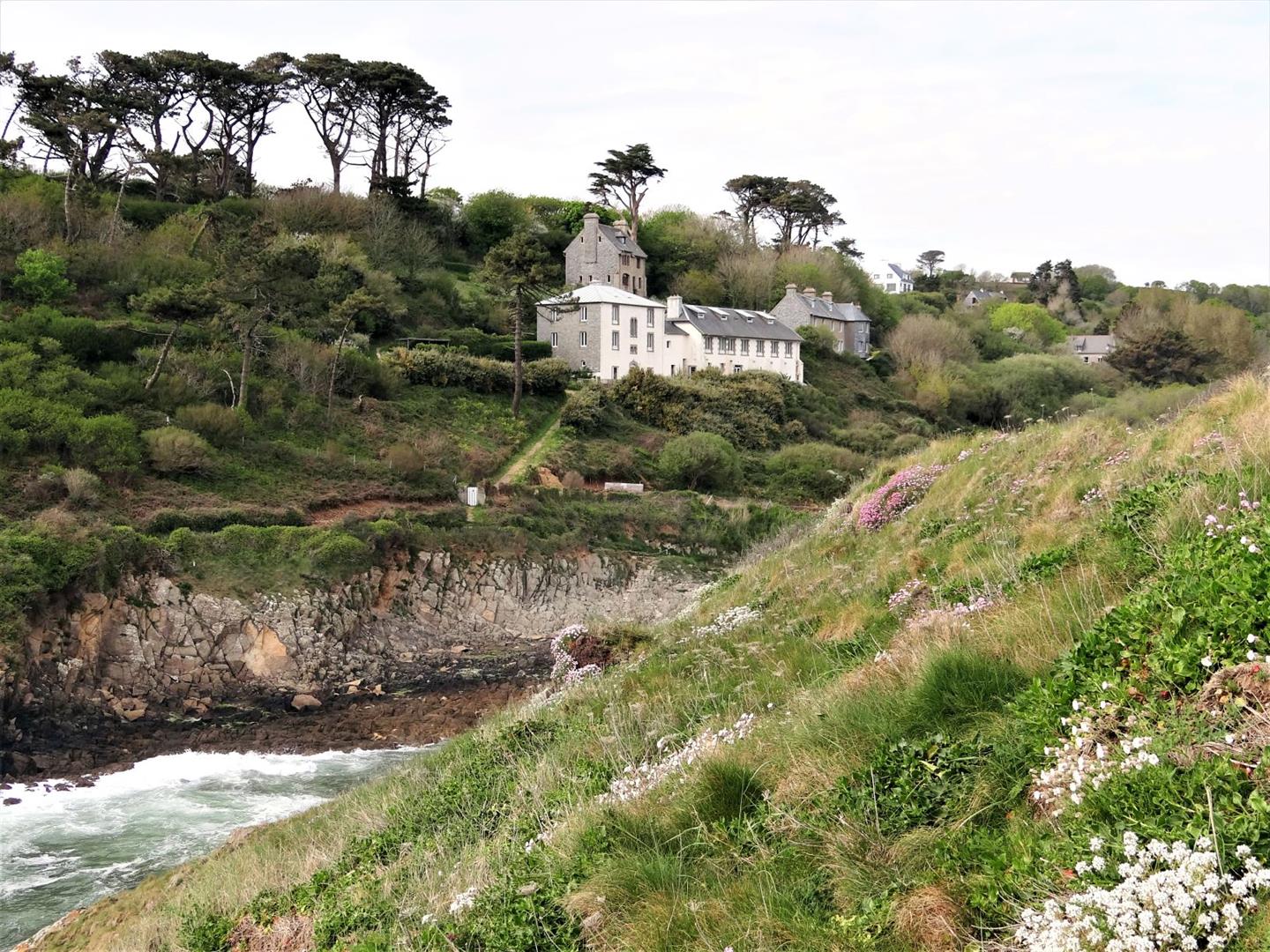
The jagged cliffs of Déolen, with their rocky escarpments, offer a magnificent view of the Crozon peninsula and the Tas de Pois.

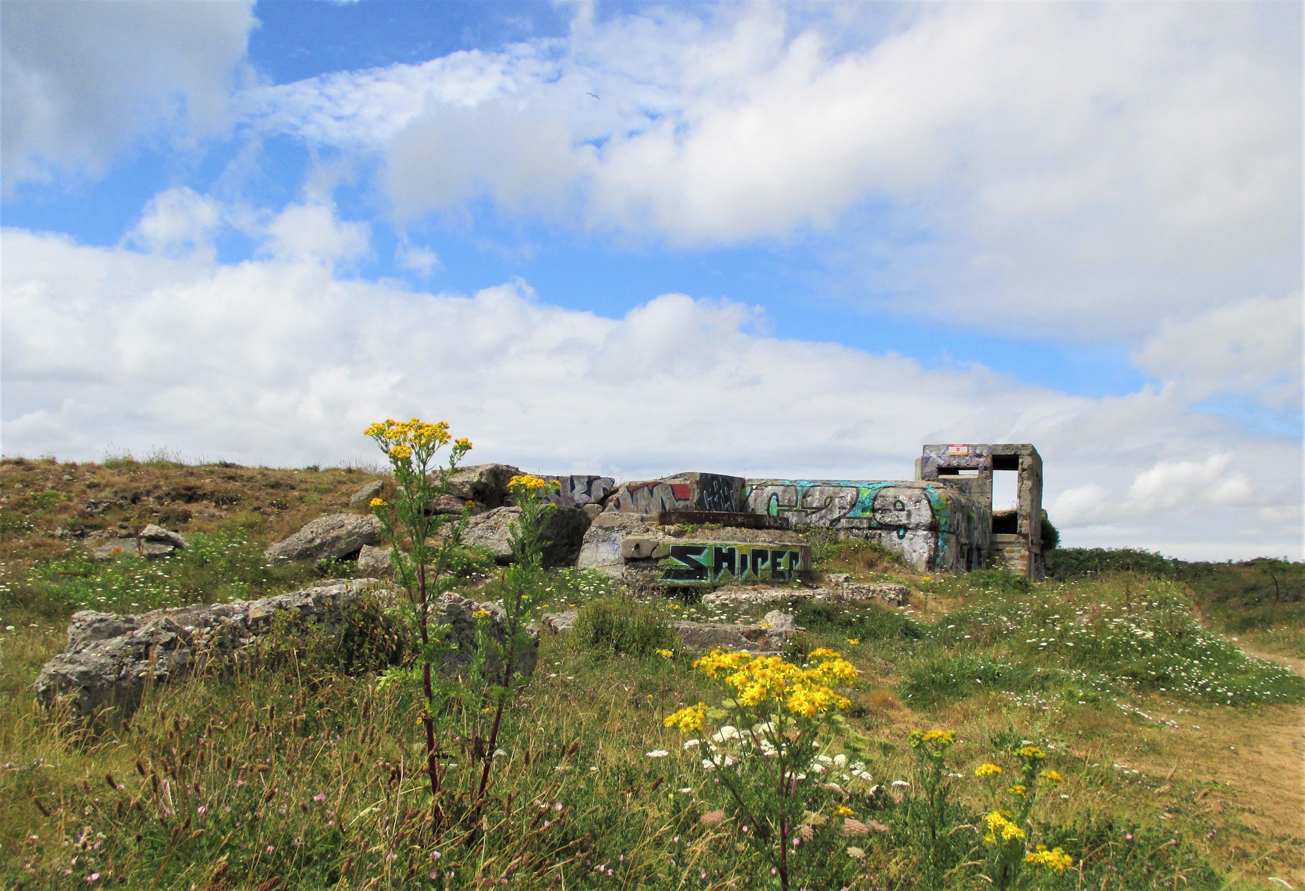
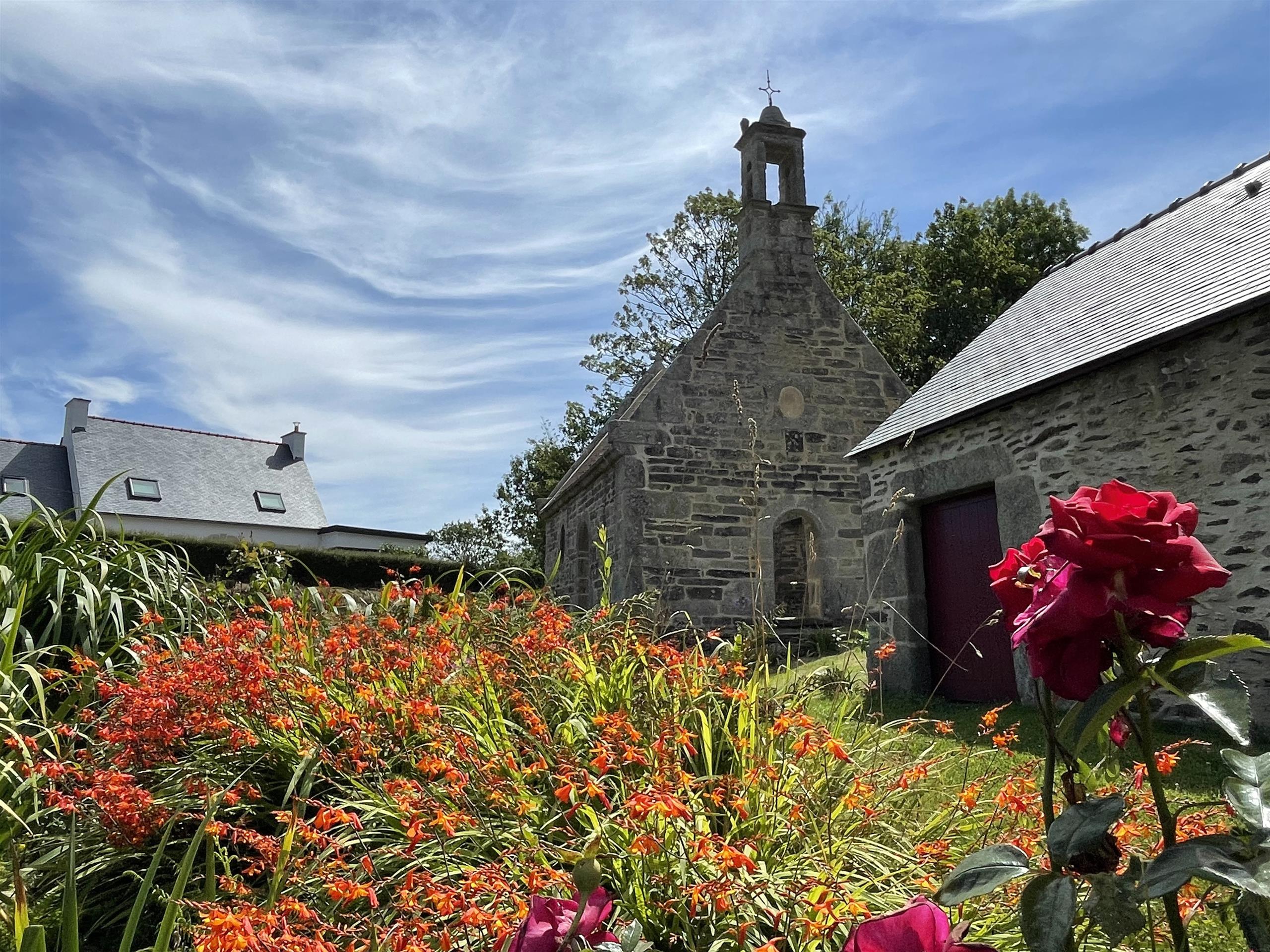
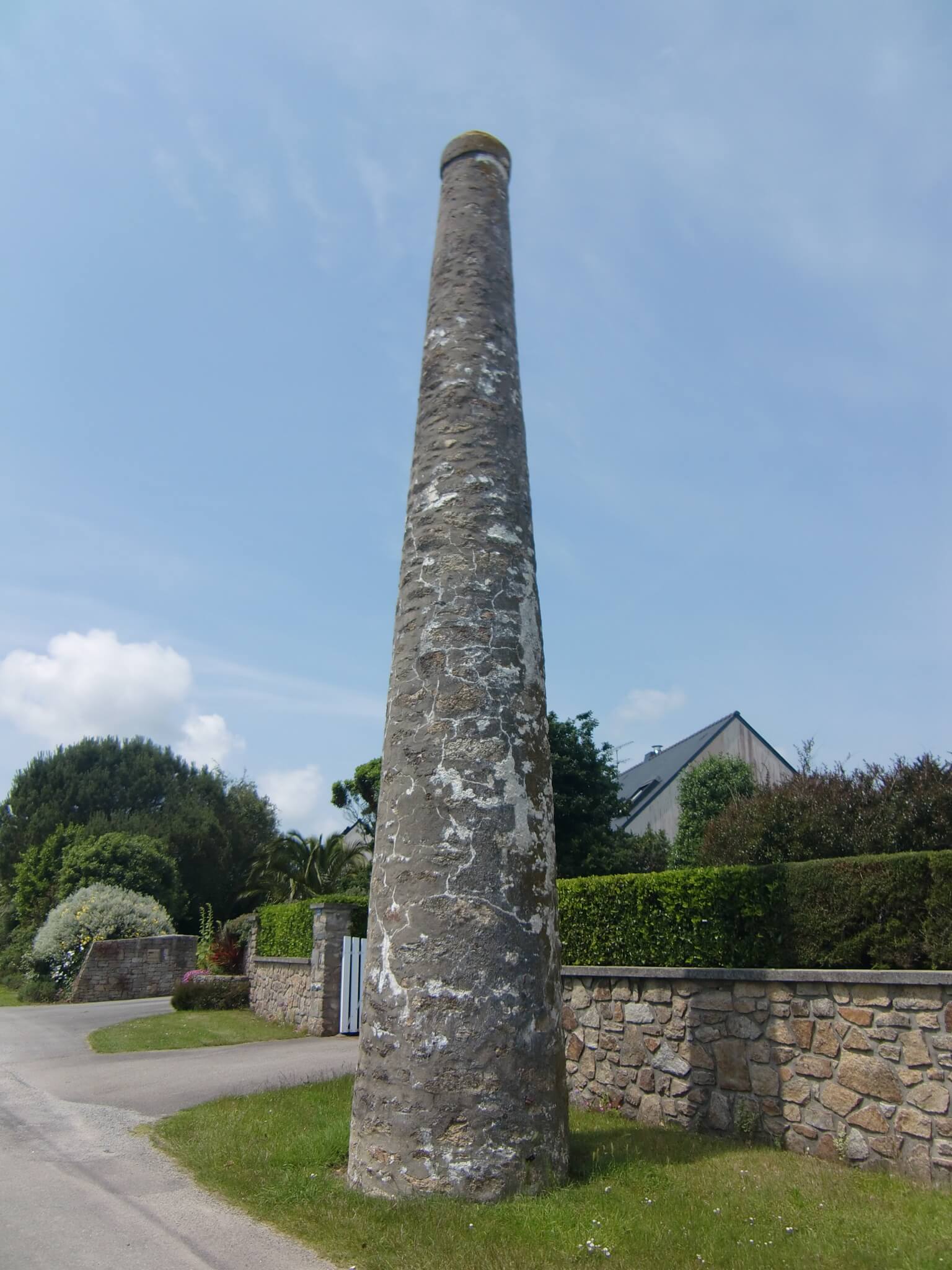
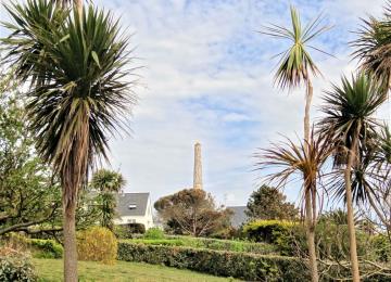
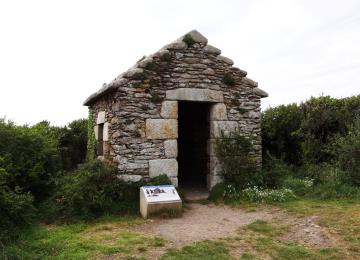
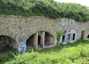
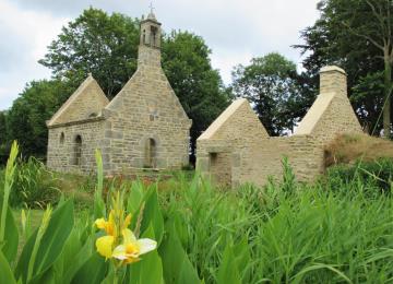
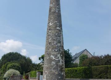
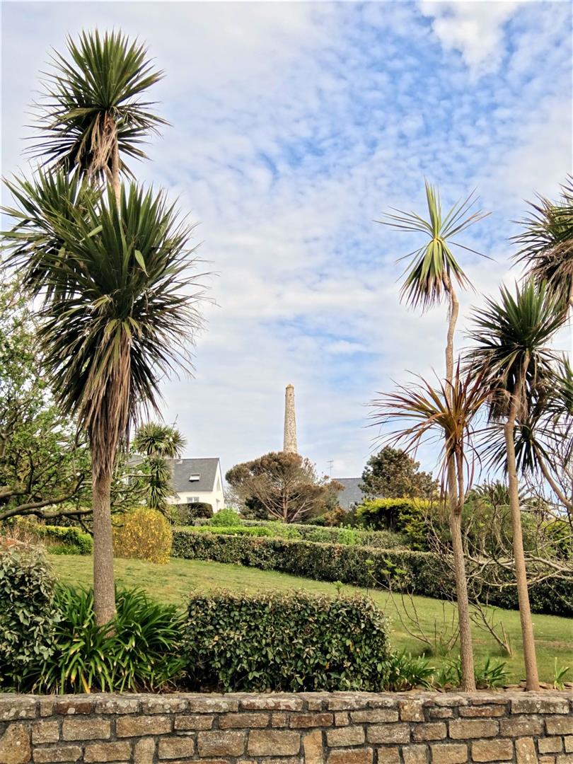
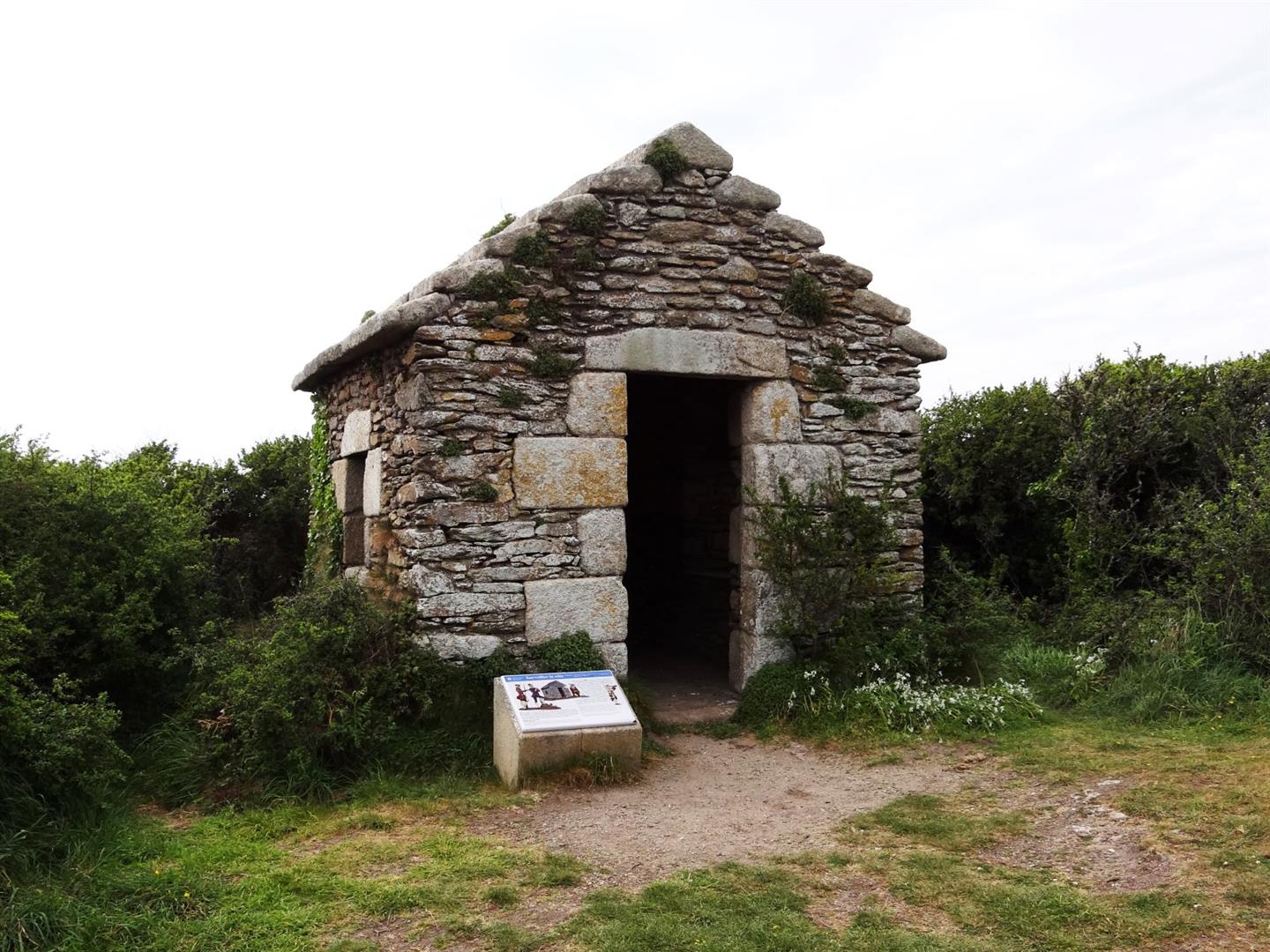
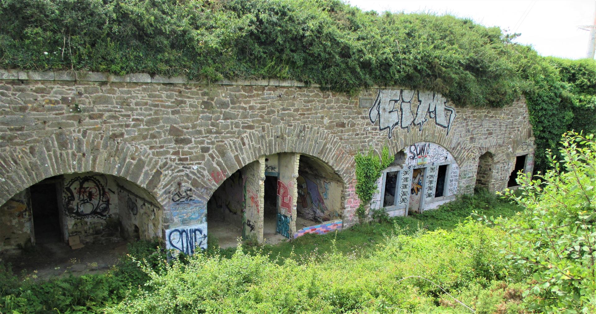
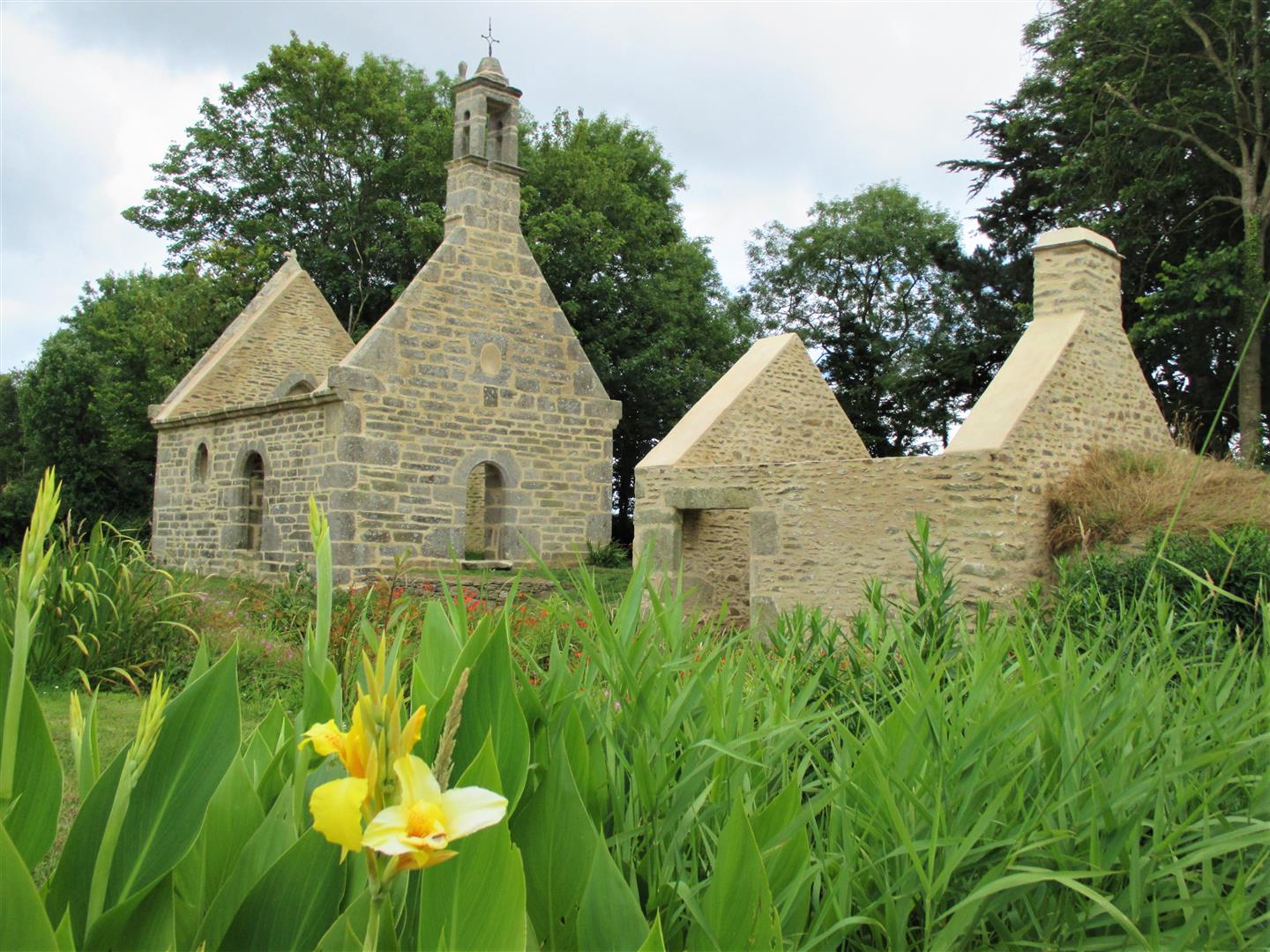
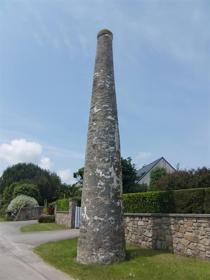
Along the way, you'll also see the Trégana beach and landmark, an old windmill and customs shelter, the Déolen site, the Toulbroc'h fort, the ruined Lesconvel chapel and the fortified building at Neïz Vran.

Markings:
- Start - Le hameau du Cosquer > Blanc-Rouge
- Le hameau du Cosquer - Finish > Jaune

At the Iroise Bretagne Tourist Office, you'll find hard-copy hiking maps and topoguides published by the Fédération Française de Randonnée du Finistère.

At the bottom of the page, see all the activities and restaurants in the area.

Documents to download
Itinerary
Step 1/6:

DEPARTURE: Trégana beach parking lot.

Along the way, you'll come across a granite column on your left. This is a sea wall built by the navy, once used as a navigational landmark.

Locmaria-Plouzané
Amer

You can now see the ruins of a farm and an old windmill, the Moulin du Ru Vras, where a miller lived until the end of the 19th century.
Nearby, you'll discover a customs shelter.
The steep cliff offers an exceptional panorama of the Bertheaume cove, the Brest Narrows and the Pointe de Camaret.

Locmaria-Plouzané
Ru Vras mill and customs shelter

Large metal cables run the length of the coastal path, seemingly sinking into the ground. At low tide, they can be found among the pebbles of the cove. Then they appear again in a trench cut among the rocks and plunge into the sea.
In 1850, the first underwater telegraph cable was laid between Cap Gris-Nez in France and Southerland in Great Britain. The English were the first to link Ireland to Newfoundland by cable, in 1858. But the cable quickly deteriorated, and was almost never used. A new attempt, in 1866, was finally crowned with success.
Brittany, with its peninsula facing the New World, was the ideal location to take part in the development of this formidable technological challenge.
And in 1869, the first French transatlantic cable went into service, linking the Pointe du Minou, west of Brest, to Duxburry, in the United States, via St-Pierre et Miquelon.
In 1879, a second cable, 5800 km in two sections, reached Cape Cod, Massachusetts, via the islands of Saint-Pierre et Miquelon.
This time, the small cove of Déolen, a little further west than Le Minou, was chosen as the starting point.

Continue the tour towards the cove of Déolen and see the former Compagnie Française des Câbles building.

Locmaria-Plouzané
La Maison des Câbles in Déolen

Toulborch Fort is the most important military site in the Locmaria-Plouzané commune.

Attested as early as the reign of Louis XIV, it was frequently redeveloped, particularly in the 19th century. Designed to counter any attempt at landing by the English, Dutch or Spanish, it is one of the many elements of Brest's defense.

Preserved from foreign occupation until 1940, it was occupied by the Germans and Italians and helped defend Brest against Allied bombing and the American advance.

Today, the site is owned by the Conservatoire du Littoral. However, the central area is occupied by the French Navy.

Locmaria Patrimoine Association

Locmaria-Plouzané
Toulbroc'h Fort
Lesconvel chapel

Once again, a landmark - there are 3 on the heights of Trégana beach.
These landmarks were erected around 1870.

Amer
Getting there with Google Maps