Riding circuit n°3 - Brélès - Porspoder

Walks
Porspoder Porspoder
  • Type Equestrian
  • Distance 25 Km
  • Difficulty Medium
  • Walks
Port Mazou
Saint Budoc Church
Manoir de Bel Air
Notre-Dame Church

About us

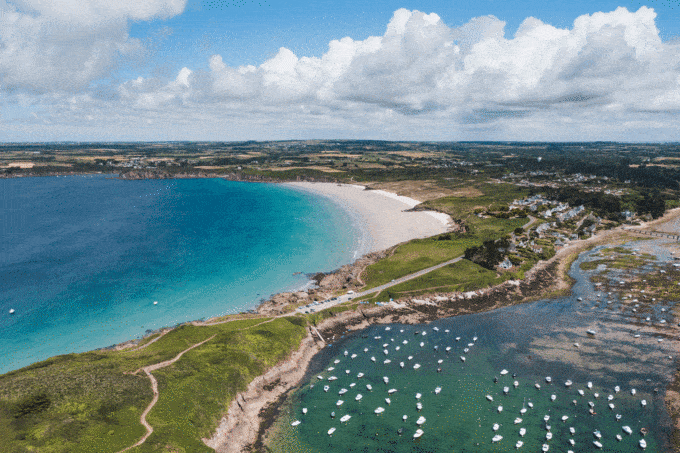
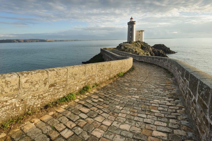
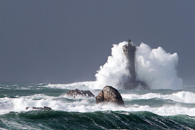
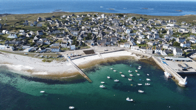
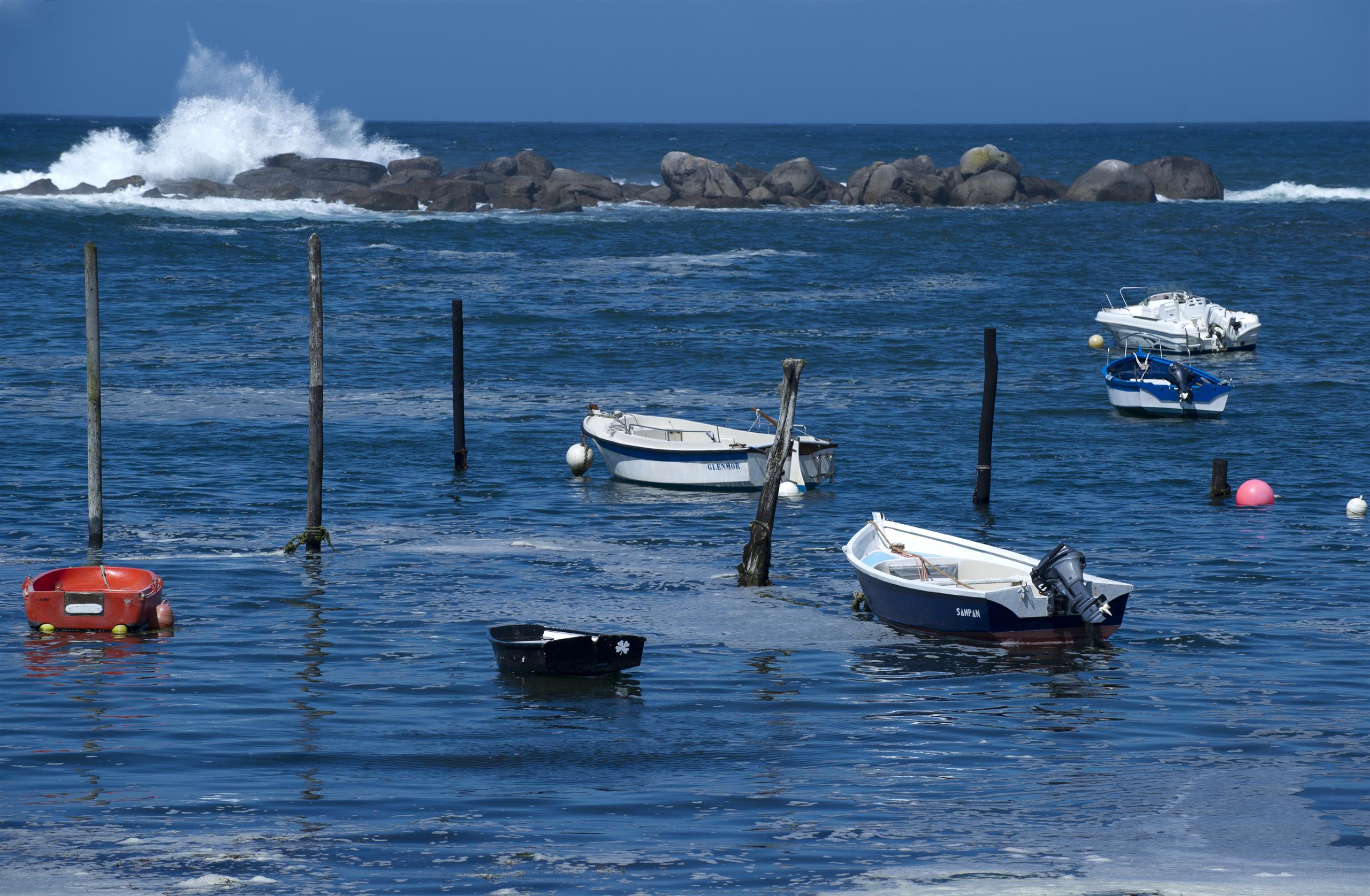
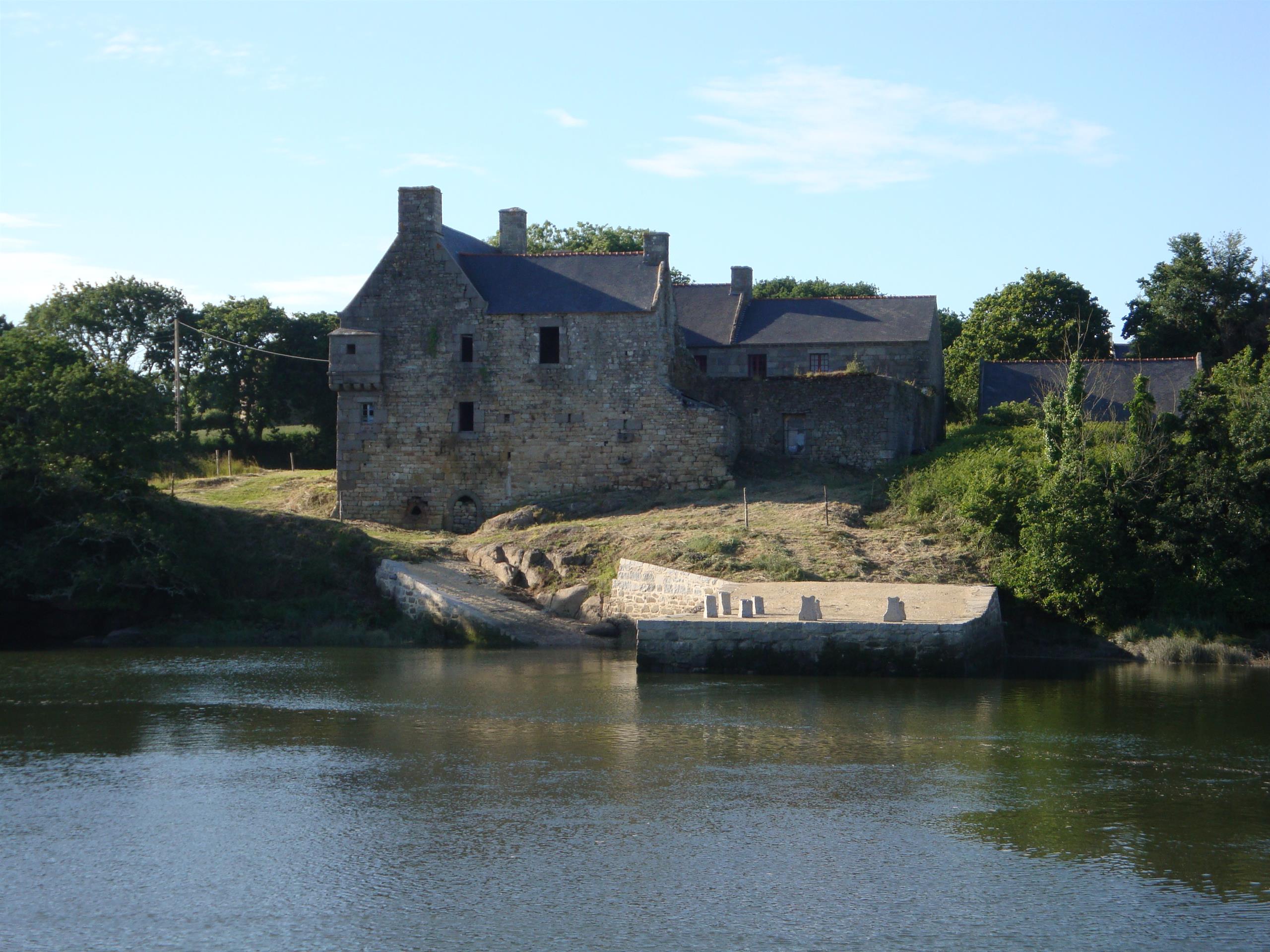
Set off to (re)discover the towns of Posrpoder, a charming vacation resort with many assets and protected by the lighthouse of Le Four, and Brélès, a rural commune with green countryside and pretty stone villages.

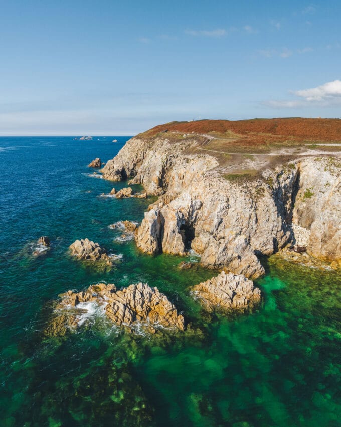
This tour will take you between land and sea to discover cultural and historical heritage as well as sumptuous landscapes.

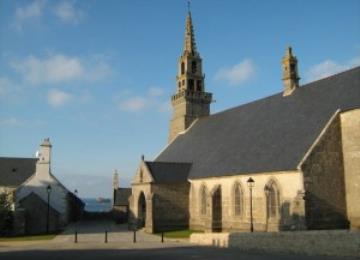
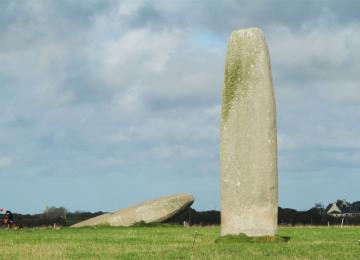
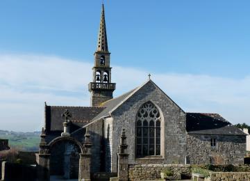
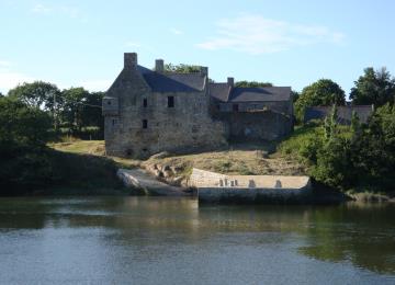
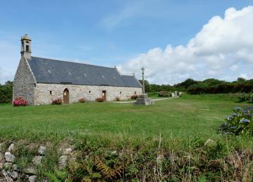
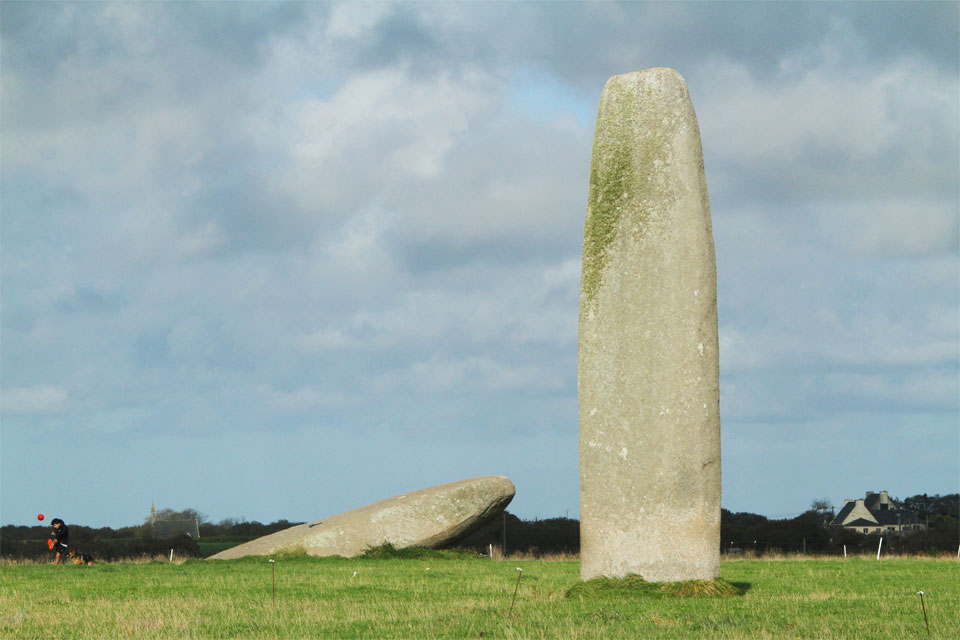
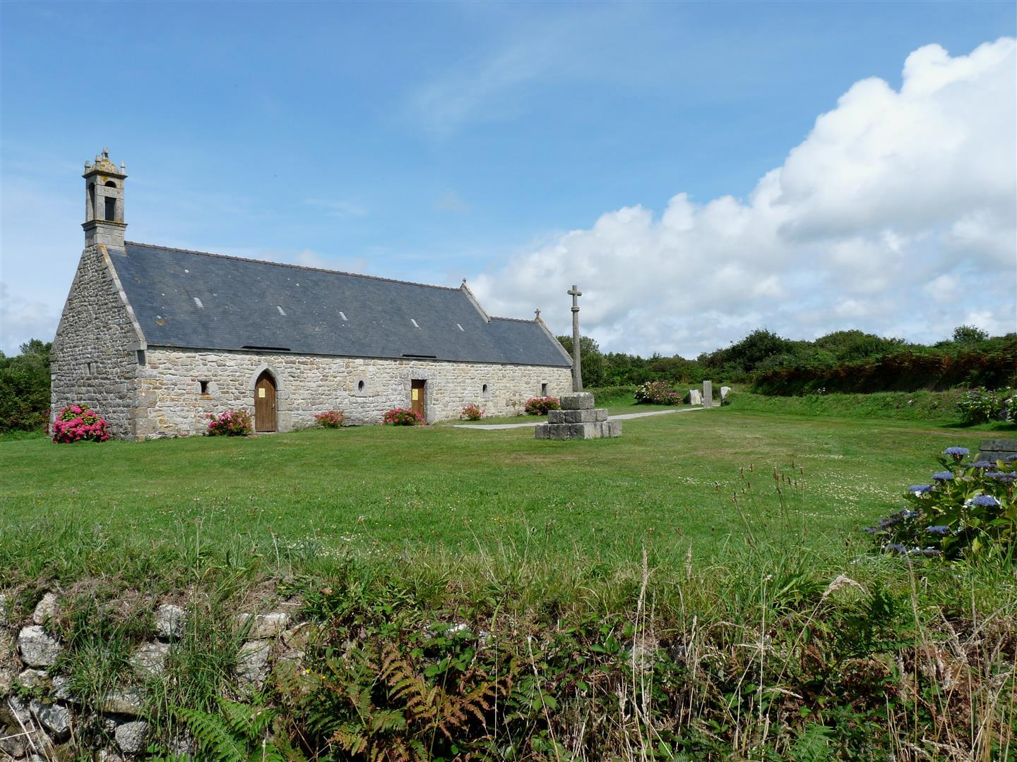
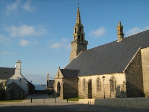
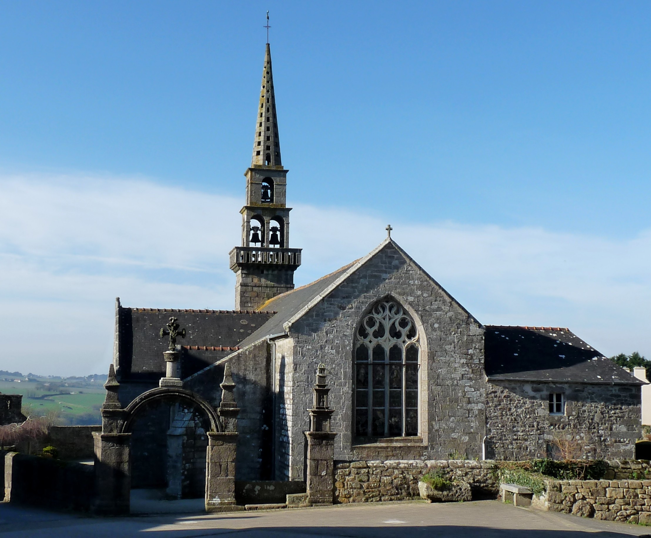
Along the way, you can see the Kergadiou menhir, the Mazou port and the Saint Ourzal chapel.

Put your foot in the stirrup and soar over the Iroise for an epic ride.

6 equestrian circuits in the Pays d'Iroise, ranging from 11.3 to 27.3 km, are maintained and signposted by the Pays d'Iroise Communauté's technical services to guarantee a quality network.

All our routes are signposted with the route number and a horseshoe.

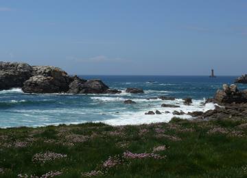
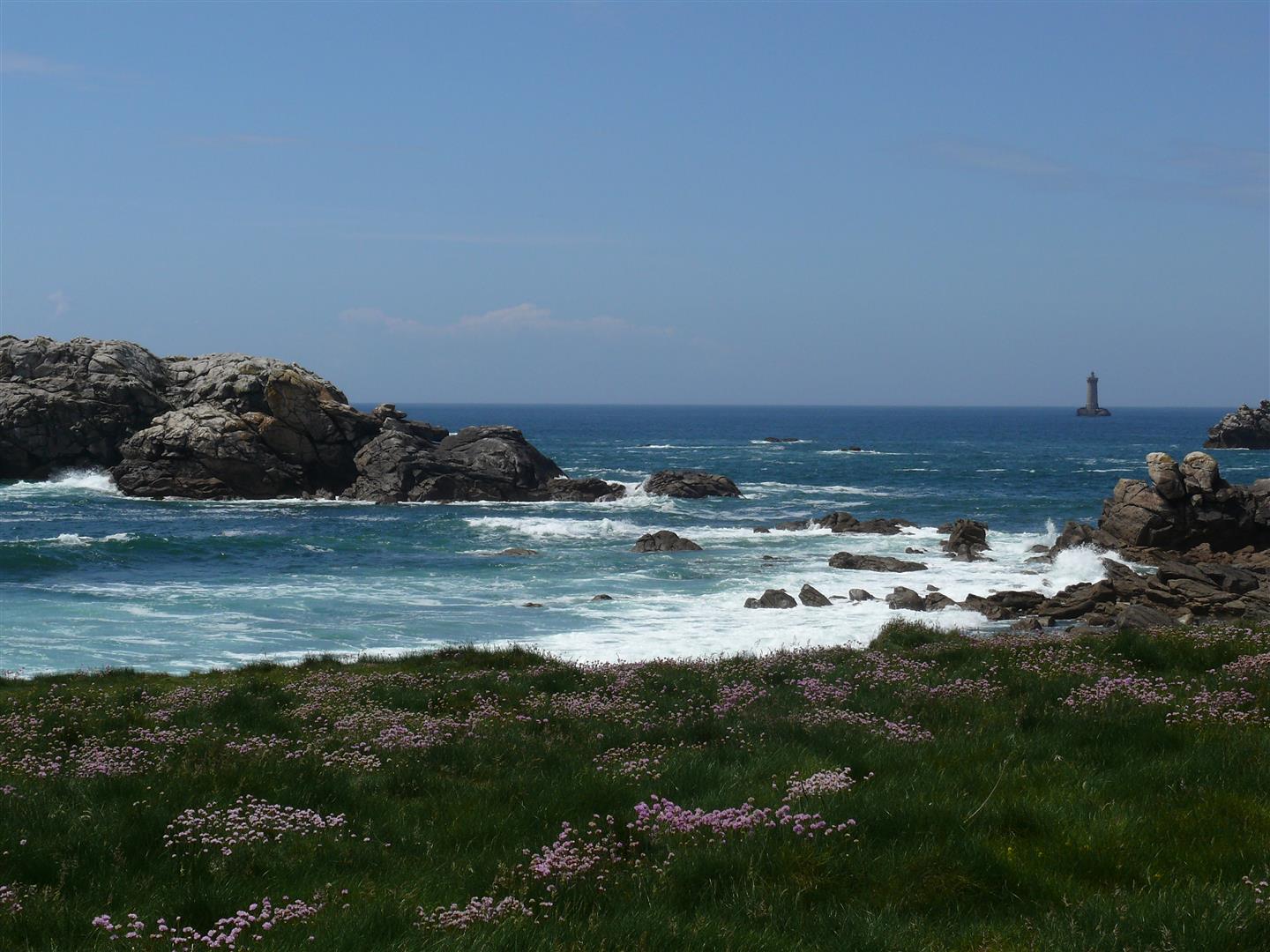
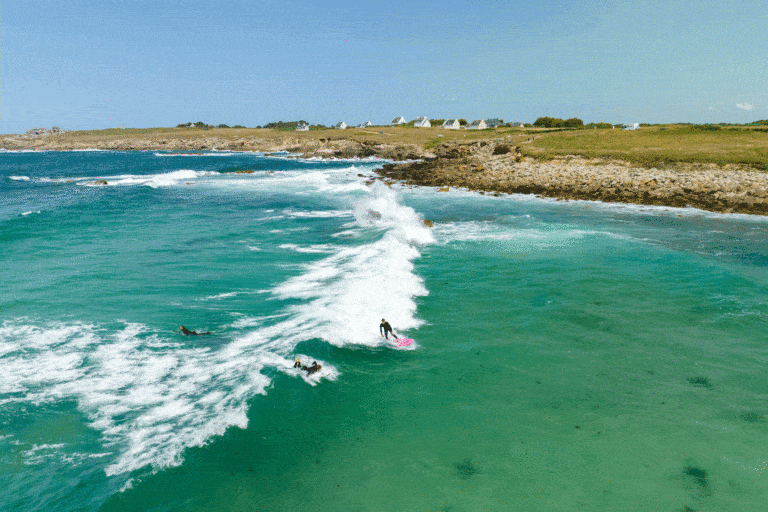
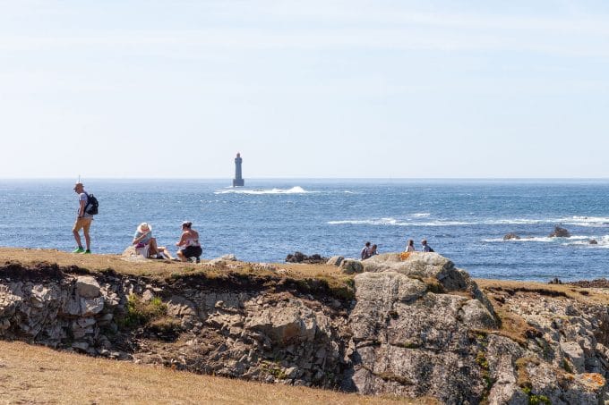
Marvel at the most westerly coastline!

See the bottom of the page for all the activities and restaurants in the area.

Documents to download
Itinerary
Step 1/7:

START: Car park, place de l'église.
This tour runs clockwise.

The name Budoc means "saved from the waters" in Breton.

Departure

You can see the Saint Laurent peninsula.

The Saint-Laurent peninsula is a great place to take a stroll opposite the Four lighthouse, and offers visitors a landscape that's both grandiose and wild.
An opportunity to come back for a walk.

A little background information: The distance from the Saint Laurent peninsula at Porspoder (29- Finistère) to Rio San Luigi in Menton (83-Var) is the longest distance as the crow flies in mainland France. The western end of the Saint Laurent peninsula is 1083 kilometers from the mouth of the Rio San Luigi at Menton (Alpes-Maritimes, France).

Saint Laurent peninsula

Legend has it that the menhir was stolen from a witch in Scotland. The furious witch swore she'd shoot it down...
Taking a second menhir, she threw it in the direction of Kergadiou, but her throw proved too short by around 60 metres.

Menhirs of Kergadiou

Brélès, which was once a trève of the parish of Plourin-Ploudalmézeau, became an autonomous parish in 1802, following the Concordat signed between Napoleon and the Pope the previous year. Its church, once a simple chapel, is one of the few in the Pays d'Iroise to have retained its enclosure. A monument in the shape of a triumphal arch marks the entrance.

Patrimoine Iroise

Church of Notre-Dame de Brélès

Located on the north bank of the Aber-Ildut, Manoir de Bel Air was built by Francois de Kerengar, on land he received on his marriage to Louise de Kerbescat in 1585. Construction lasted around 14 years, until 1599.
Built on a square plan around an enclosed courtyard, its architecture is typical of the fortified buildings of the Lower Middle Ages in Brittany. Its defensive layout is explained by its proximity to the sea, a source of danger.

Commune de Brélès

Manoir de Bel-Air

The present-day chapel was built in 1639 by René de Kermenou, lord of a nearby manor.
The chapel's surroundings, where large naturally outcropping boulders stand side by side with numerous prehistoric megaliths, lend themselves to the fantastic and the marvellous. The water in the fountain is said to have special virtues, and children who were slow to learn how to walk were immersed in it three times.

Patrimoine Iroise

Saint-Ourzal chapel and menhir

These 6 to 8 m high poles are the originality of this small port nestled at the foot of some old seaweed houses. They are simply used to moor boats. This system, as old as the hills, is traditional in the Nordic countries. It is now found in only two places in Brittany: the port of Gwin Zegal, in the commune of Plouha, Côtes d'Armor, and here in Mazou.

Patrimoine Iroise

Port du Mazou
Getting there with Google Maps