MTB track no. 18 - Plougonvelin / Le Conquet / Milizac / Plouzané

Loop
Plougonvelin Plougonvelin
  • Type MOUNTAIN BIKING
  • Distance 104 Km
  • Difficulty Difficult
  • Loop
Bertheaume Fort
Saint-Mathieu Lighthouse
Locméven chapel
Belvederede Keramezec
Milizac church

About us

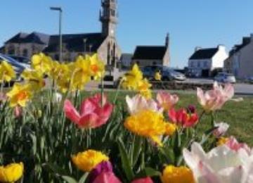
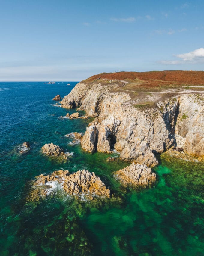
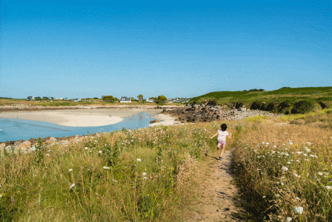
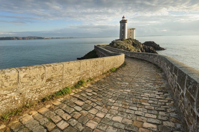
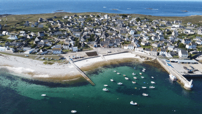
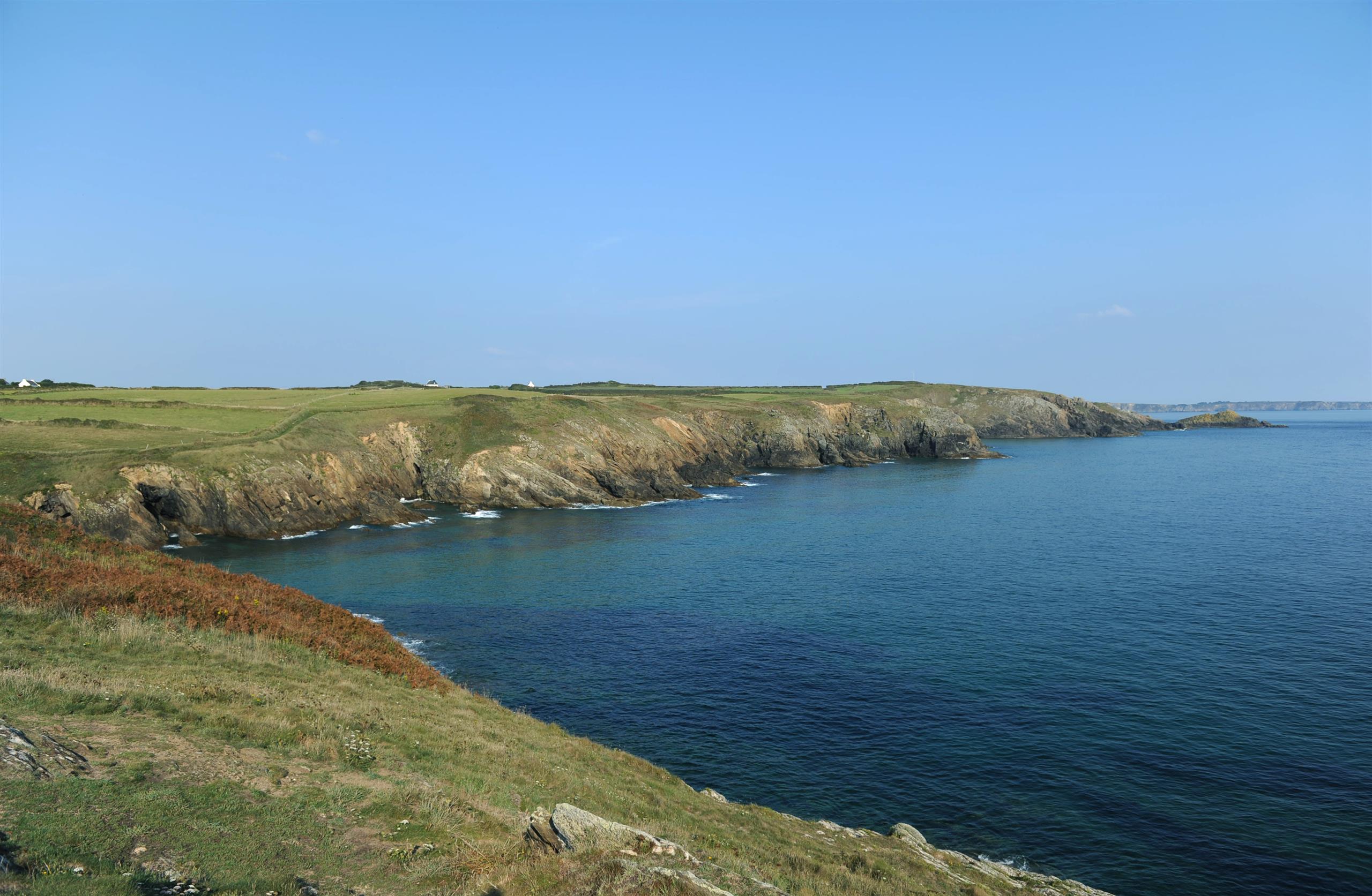
From Plougonvelin to Milizac, passing through Le Conquet and Plouzané, this 106 km circuit will be rich in cultural and natural discoveries!

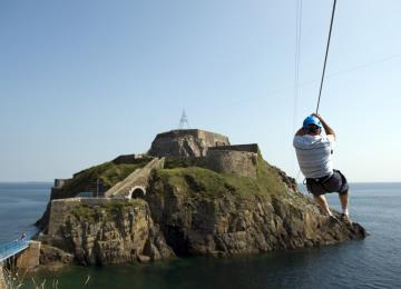
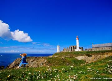
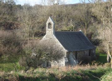
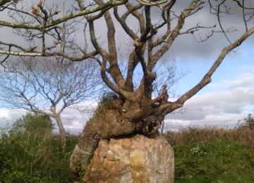
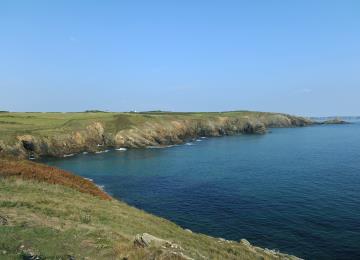
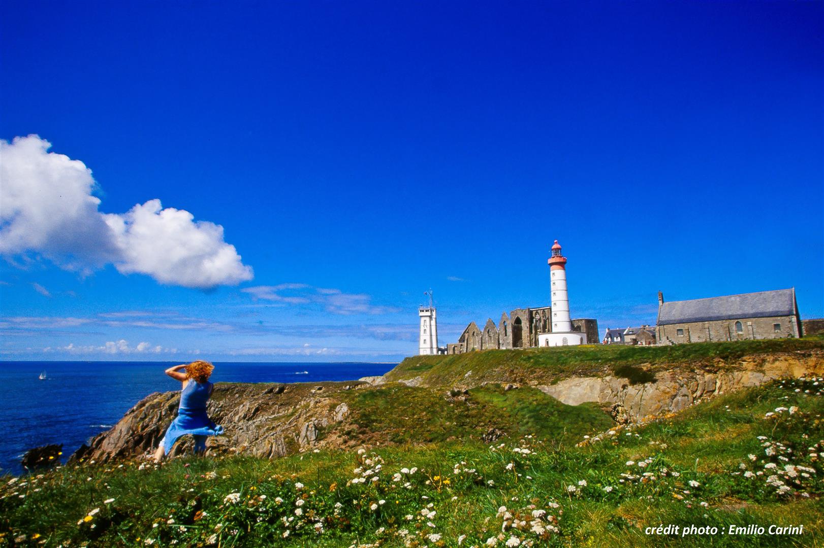
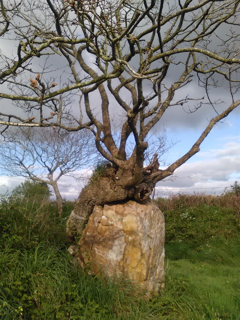
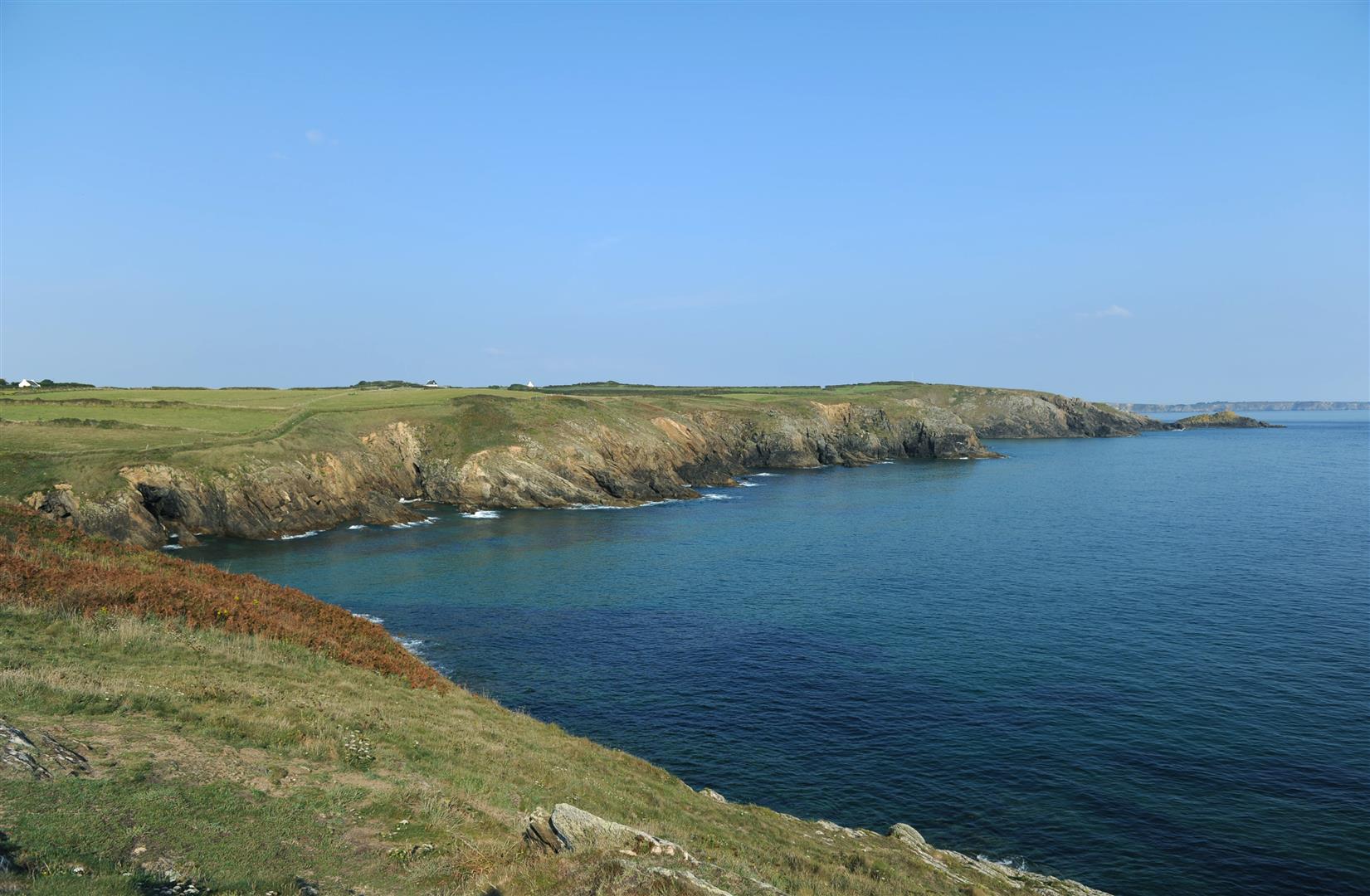
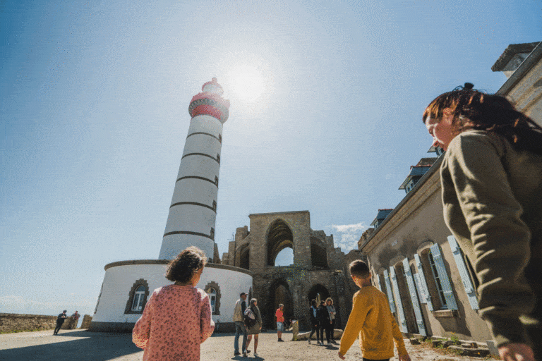
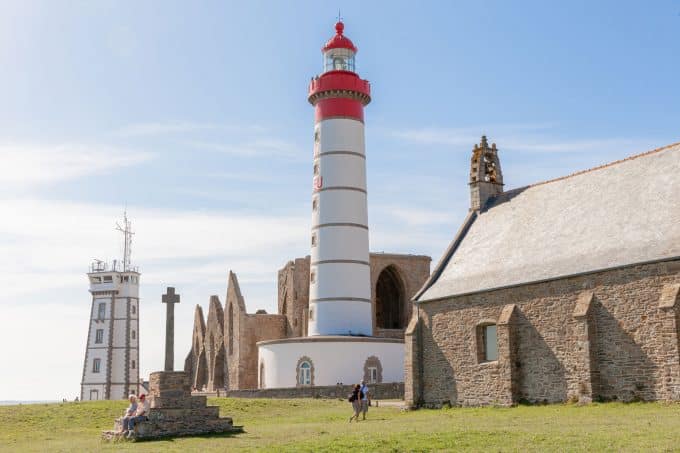
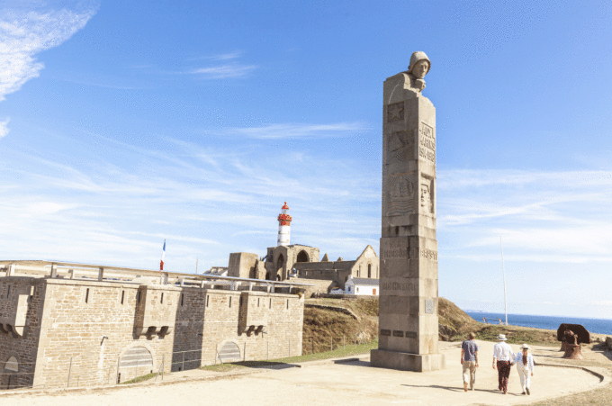
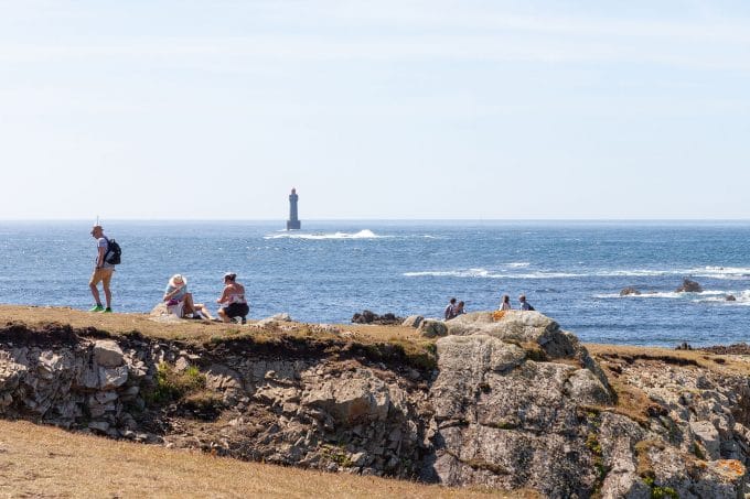
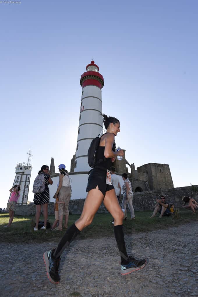
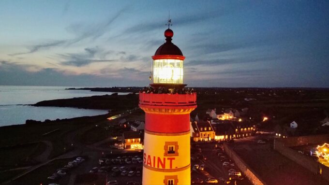
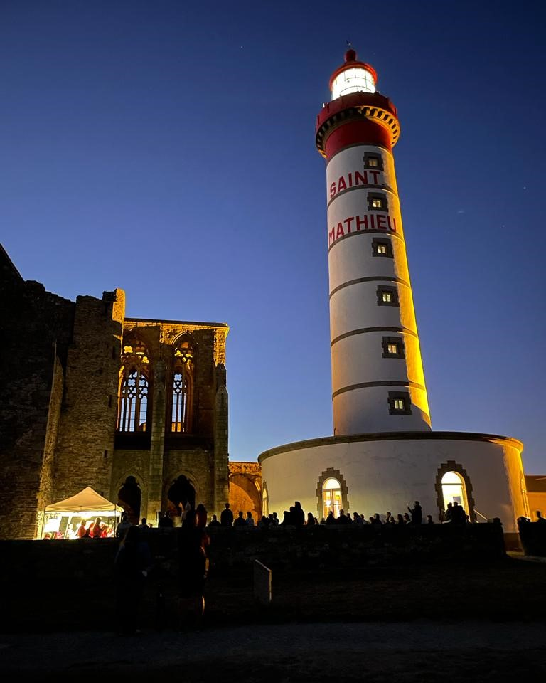
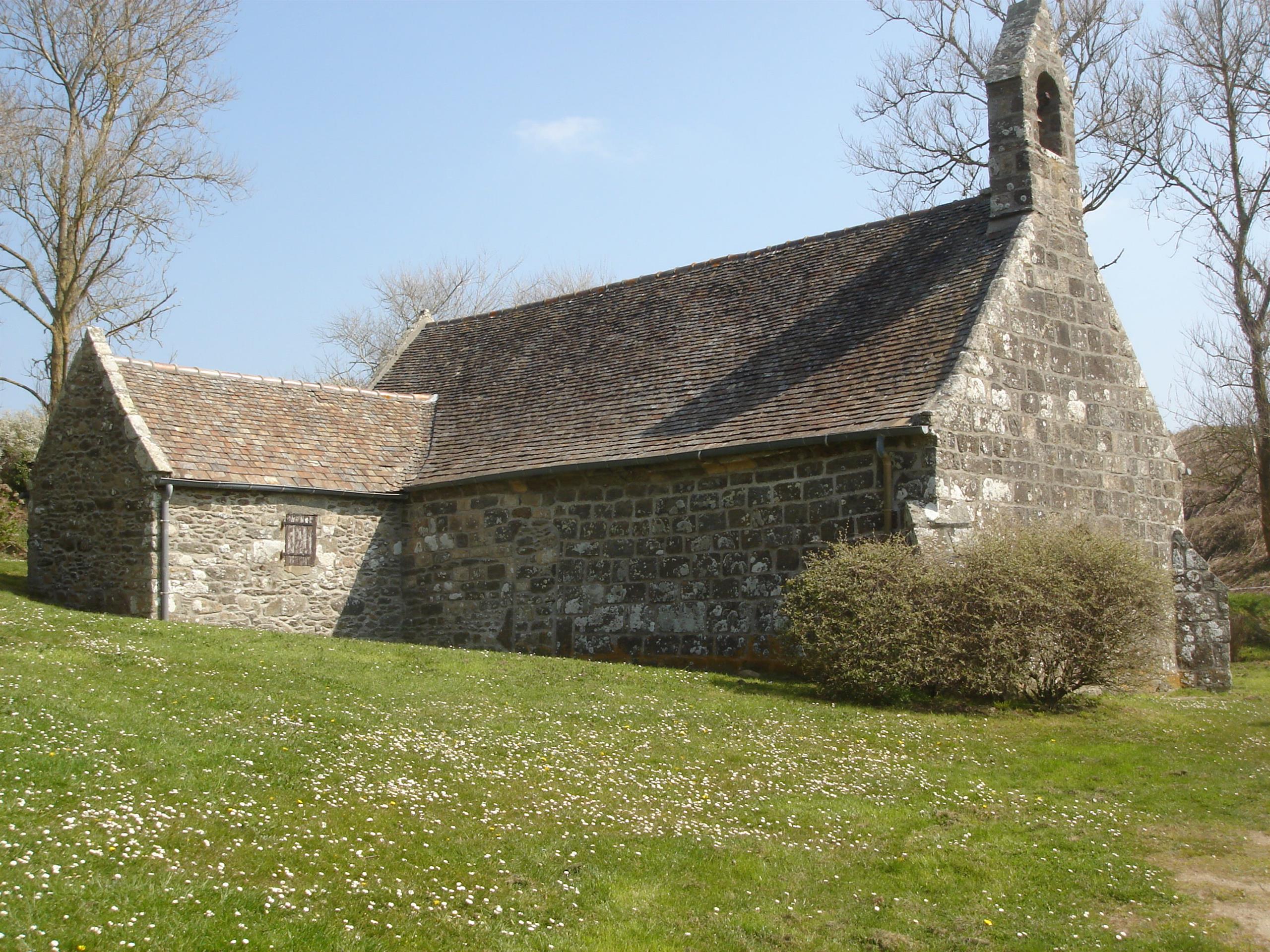
Along the way, official circuit n°18 takes you to the Pointe Saint-Mathieu, the Kereven menhir and the impressive cliffs of Déolen.

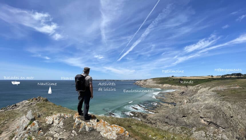
Mountain biking is a great way to discover sites that mark the history of our Pays d'Iroise! Set off on an adventure on our signposted circuits, which will take you through many of our region's communes.
18 mountain bike circuits guide you through the Pays d'Iroise countryside or along the coast.

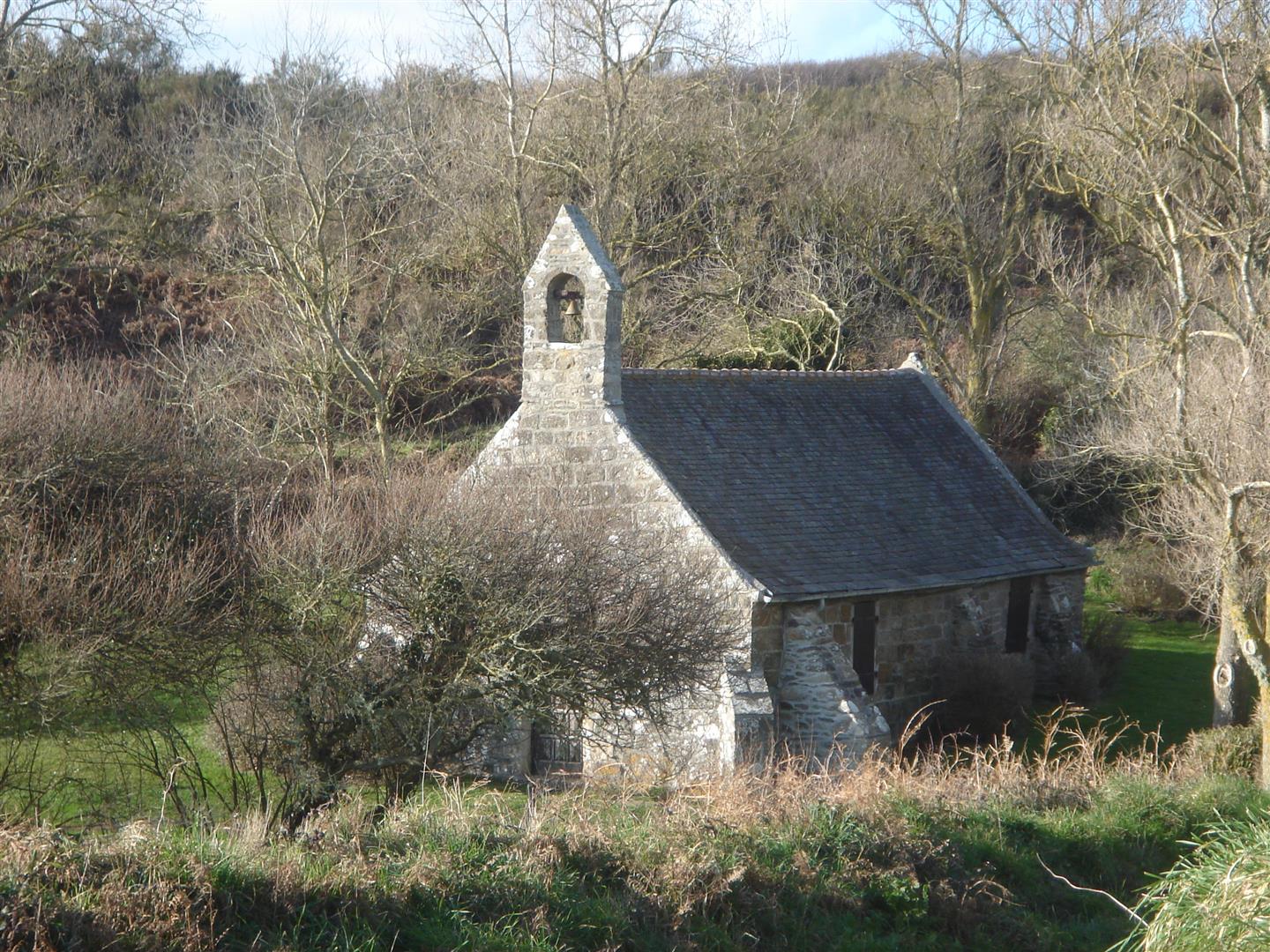
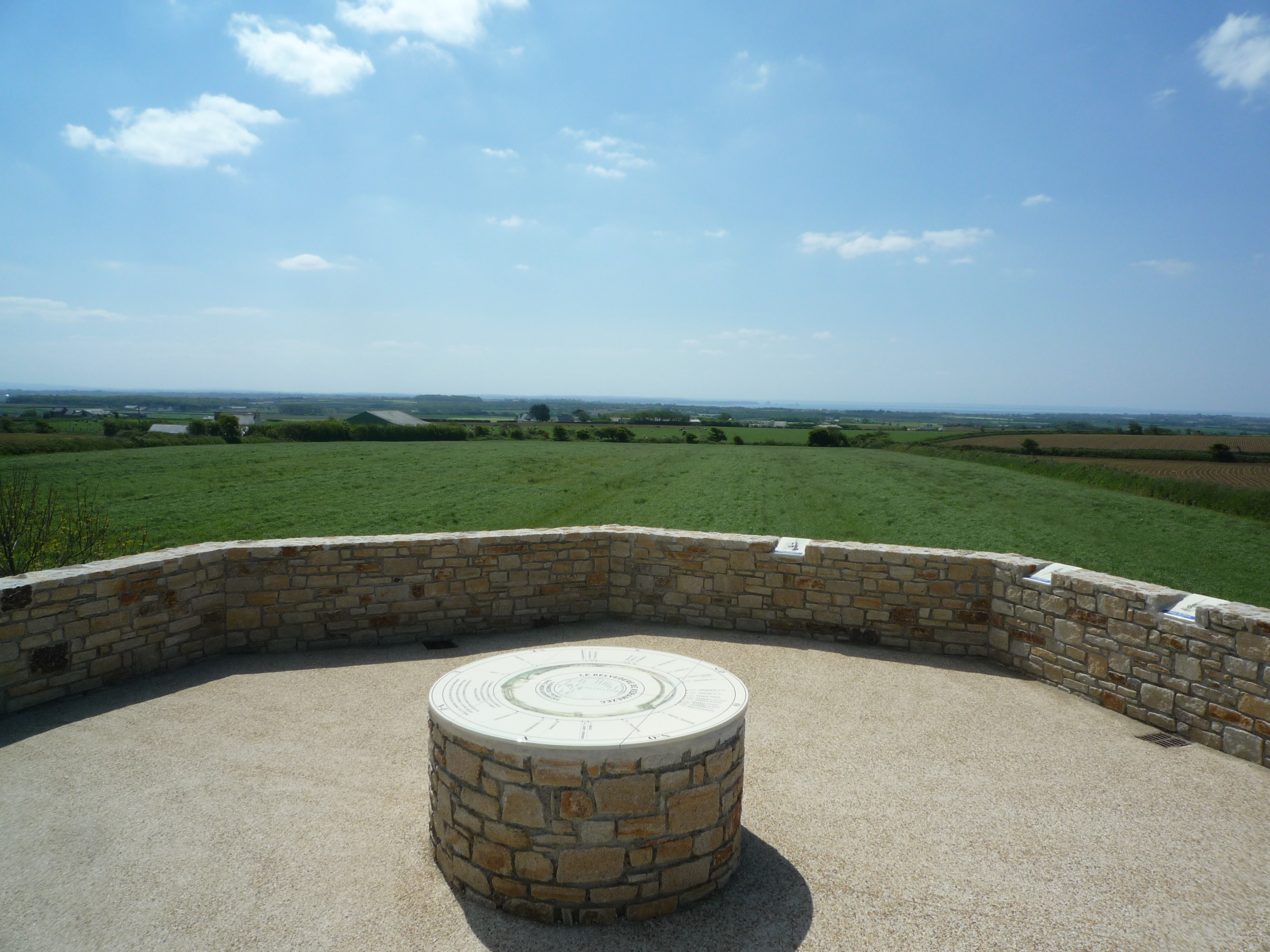
Along the way, take the time to put your foot down and read the heritage interpretation panels.

A few rules of safety and good behavior:
- The coastal path is forbidden to ATVs
- Before setting off, check the condition of your ATV and take a repair kit
- Respect the highway code: ride in single file, wear a helmet: it is compulsory for children under 12 (CSIR of 02/10/15).
- Always take a snack and a drink with you
- Respect private property
- Don't litter, respect nature by using the garbage cans.

The mountain bike topoguide is available from the Iroise Bretagne tourist office for €5.

See the bottom of the page for all the activities and restaurants in the area.

Documents to download
Itinerary
Step 1/7:

DEPARTURE: Bertheaume fort parking lot

The 37-meter-high Bertheaume fort was built around 1690, at the request of Louis XIV, to protect Brest during the War of the League of Augsburg. Vauban installed three cannons and two mortars on the upper platform of the islet to control the Bertheaume cove, where all ships entering or leaving Brest harbor still pass today. A wise decision: in June 1694, an English fleet attacked, but was greeted by a deluge of bombs from the fort, enough to repel them.

Bertheaume's usefulness was no longer in doubt, and Vauban's successors continued his work in the 18th and 19th centuries. Barracks, powder magazines and a perimeter wall were first installed, before the fort, then only accessible at low tide, was equipped with a footbridge in 1835, followed by casemates some fifty years later.

Bertheaume Fort

Discover this marvellous "Monument Historique" site: the ruins of an ancient Benedictine abbey, a small chapel, the Saint-Mathieu lighthouse and museum, and the cenotaph.

Pointe Saint Mathieu

Completely isolated, almost right on the shore, this pretty little chapel owes its existence, according to legend, to a shipwreck that took place opposite it in the 11th century. Sailors from an English or Irish ship miraculously reached the nearby cove despite the storm, as their ship was sinking. The captain then vowed to build a chapel to Saint Méen on the coast, and from then on he lived in a nearby farmhouse. As always, there is no historical record to support this legend. But it is nevertheless plausible.

Locmeven chapel

The Kéramézec belvedere offers a breathtaking view of the Pays d'Iroise and the Molène archipelago, and is the highest point in the Pays d'Iroise, at a height of 142 m.
Follow the fun interpretation trail, with a question-and-answer game on France's highest points, to reach the orientation table at the top of the hill.

Belvedere de Keramezec

This 17th-century building has been altered at various times. The door to the enclosure features 2 kersantite statues from a calvary. The stained-glass windows in the apse, which once depicted Saint Pol Aurélien and Saint Corentin, patrons of the estate, now illustrate the Wedding at Cana and the resurrection of Jairus' daughter by Jesus.

Milizac church

Vestige of the Kereven alignment.

Menhir de Kereven

Large metal cables run the length of the coastal path, seemingly sinking into the ground. At low tide, they can be found among the pebbles of the cove. Then they appear again in a trench cut among the rocks and plunge into the sea.

In 1850, the first underwater telegraph cable was laid between Cap Gris-Nez in France and Southerland in Great Britain. The English were the first to link Ireland to Newfoundland by cable, in 1858. But the cable quickly deteriorated, and was almost never used. A new attempt, in 1866, was finally crowned with success.
Brittany, with its peninsula pointing towards the New World, was the ideal location to take part in the development of this formidable technological challenge.
And in 1869, the first French transatlantic cable went into service, linking the Pointe du Minou, west of Brest, to Duxburry, in the United States, via St-Pierre et Miquelon.
In 1879, a second cable, 5800 km in two sections, reached Cape Cod, Massachusetts, via the islands of Saint-Pierre et Miquelon.
This time, the small cove of Déolen, a little further west than Le Minou, was chosen as the starting point.

The cliffs of Déolen and the transatlantic cables
Getting there with Google Maps