Corsen Point interpretation trail

Walks
Plouarzel Plouarzel
  • Type Pedestrian
  • Distance 9 Km
  • Duration 3h
  • Difficulty Easy
  • Walks
Pointe de corsen
Ruscumunoc Beach
Trézien lighthouse
Corsen orientation table
Corsen Beach

About us

This itinerary takes you to a fountain where, during the Trézien pardon, peasant women used to sell healing water to pilgrims suffering from eye disease.

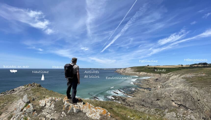
With the circuits published by "Iroise Bretagne", choose quality hiking with official circuits marked and maintained by the Fédération Française de Randonnée du Finistère and Pays d'Iroise Communauté.

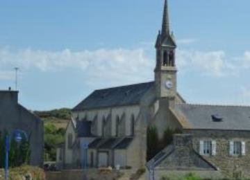
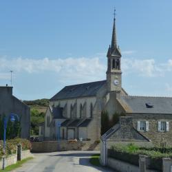
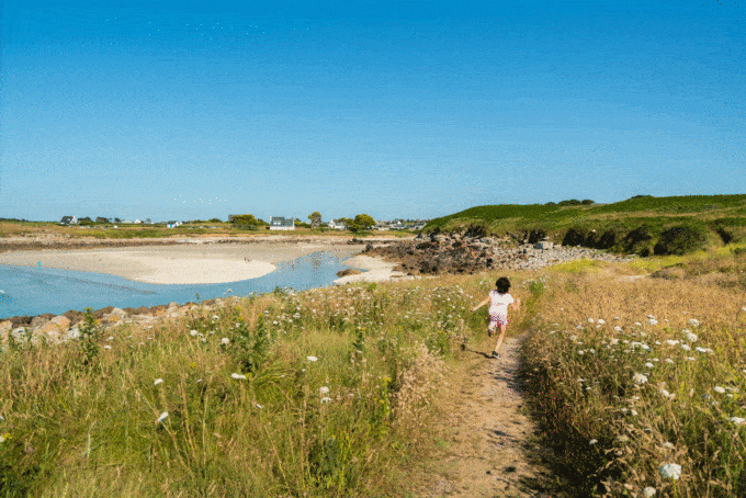
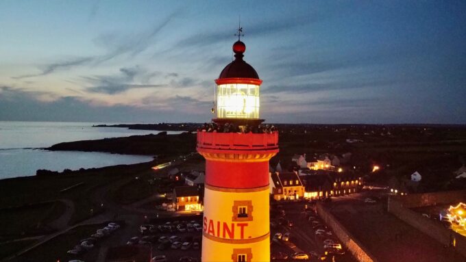
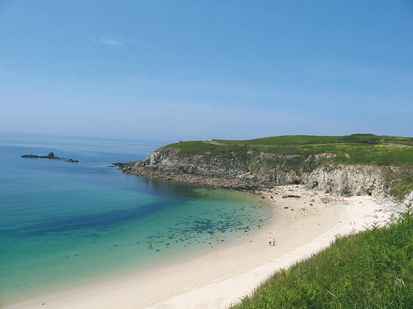
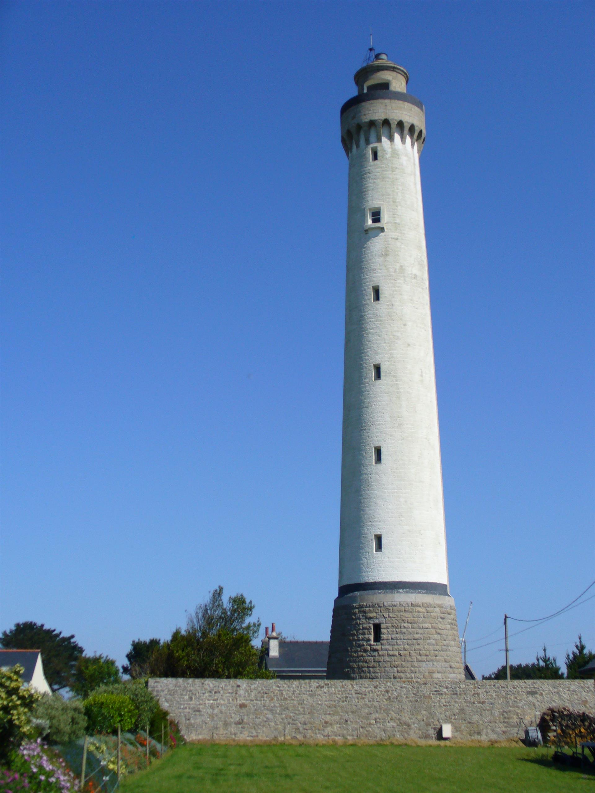
Along the way, discover the church and fountain of Trézien, as well as the Pointe de Corsen.
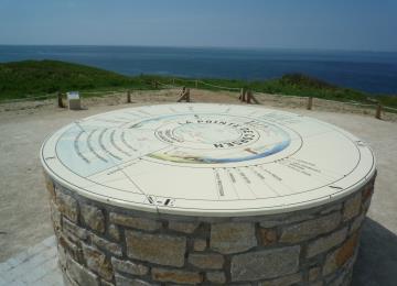
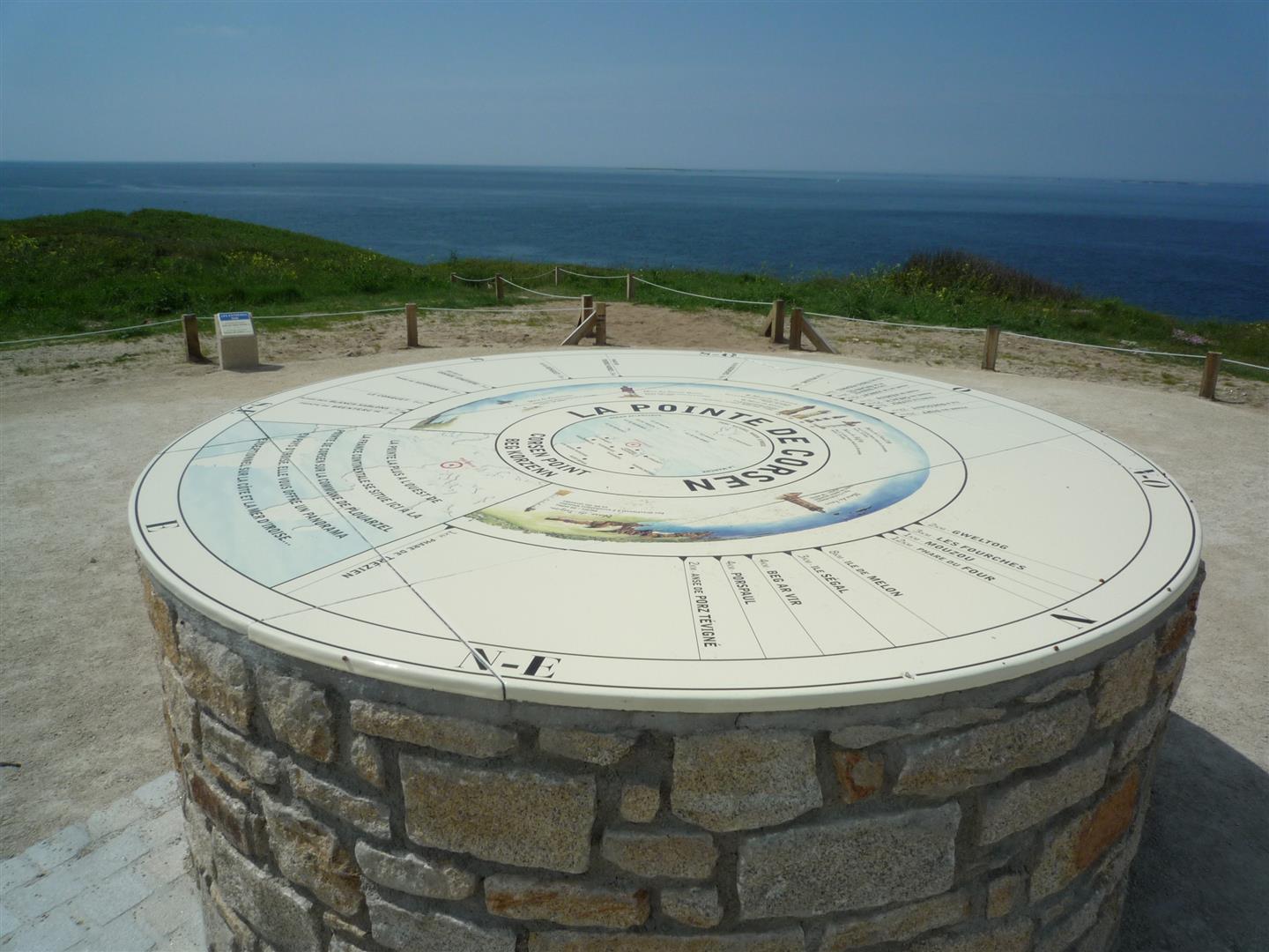
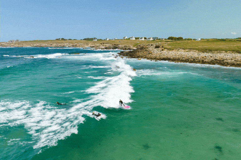
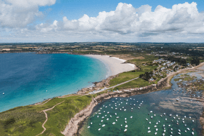
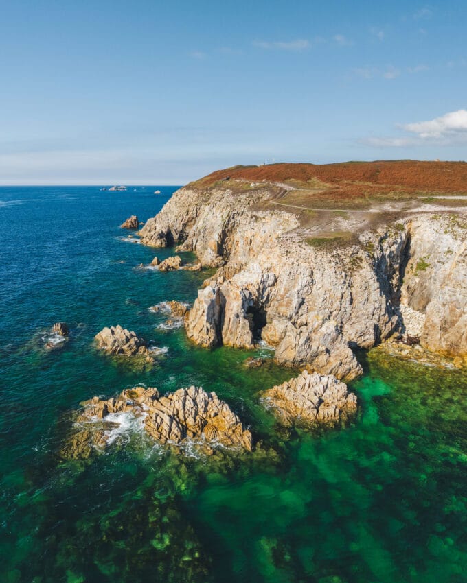
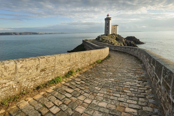
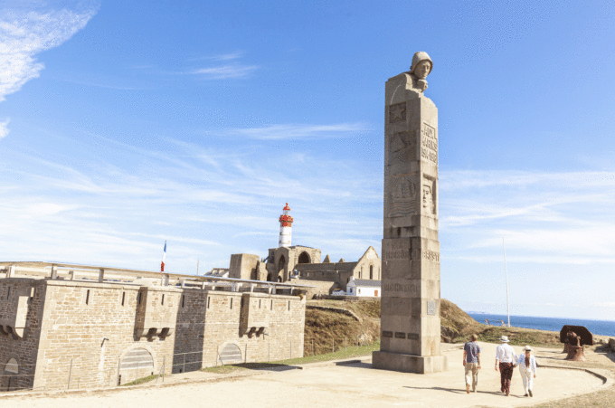
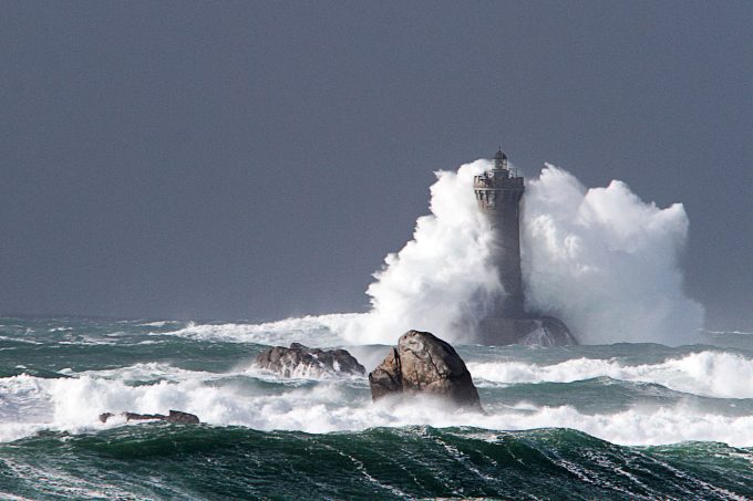
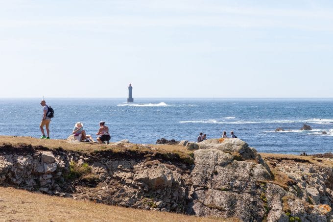
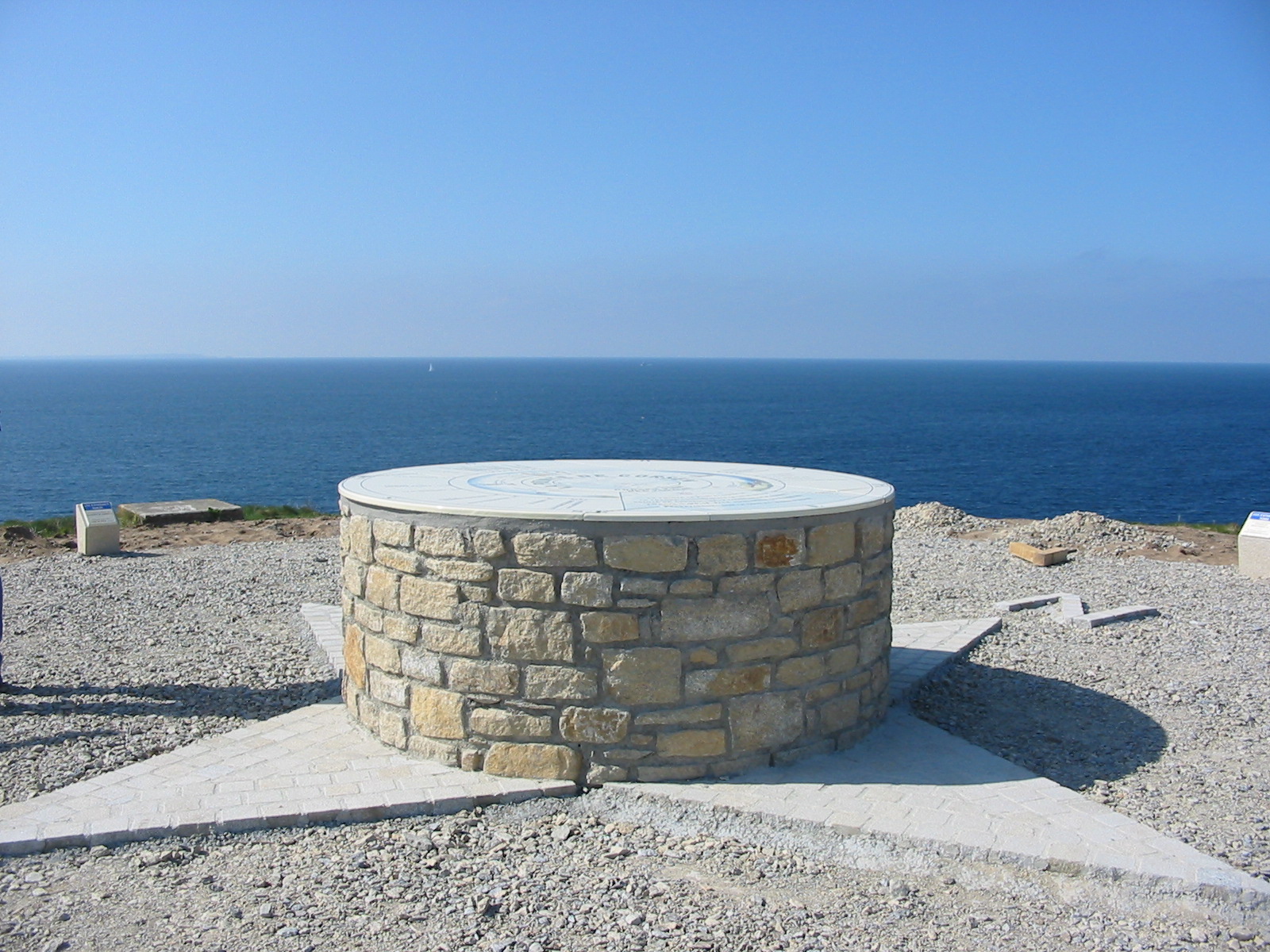
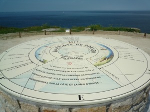
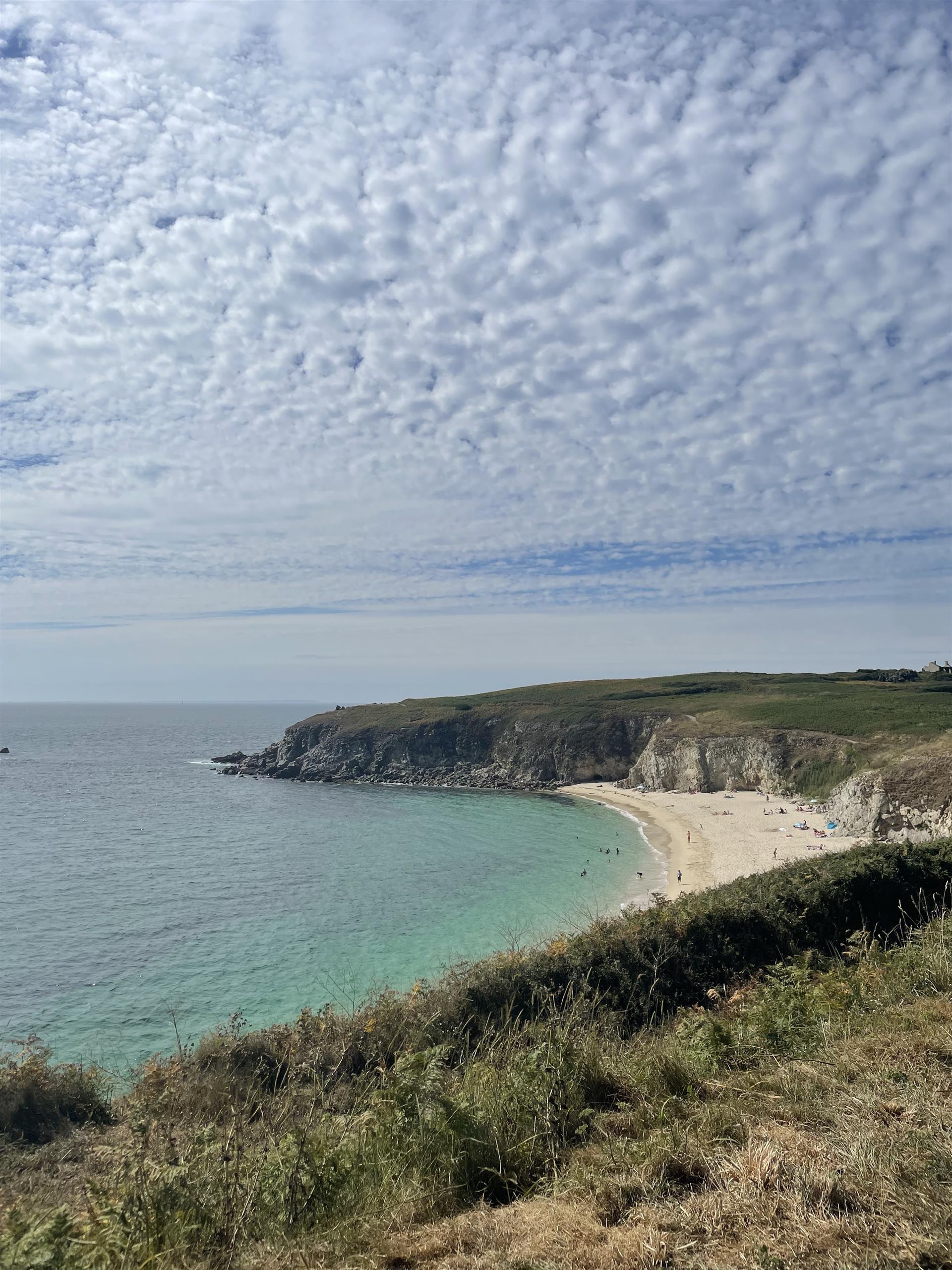
The most westerly point in western France, situated along the GR 34, facing the sea and the Iroise islands, the Pointe de Corsen is a very pleasant place for a stroll. During your walk, not only can you appreciate this majestic landscape and discover the orientation table, but you can also test your geographical and/or maritime knowledge on a fun trail leading up to the table.

Markings:
- Departure - Plage de Portsévigné > yellow
- Plage de Portsévigné - Quittez la côte > white-red
- Quittez la côte! - Departure > yellow

At the Iroise Bretagne Tourist Office, you'll find hard-copy hiking maps and topoguides published by the Fédération Française de Randonnée du Finistère.

See the bottom of the page for all the activities and restaurants in the area.

Documents to download
Itinerary
Step 1/4:

DEPARTURE: you can park in the Trézien church parking lot 29810 PLOUARZEL.

Dedicated to Notre-Dame de Trézien, it was a famous place of pilgrimage throughout the Bas-Léon region. The pardon is still very popular. The statue of Notre-Dame du Bon secours is venerated here. To the south of the church, its fountain forms a rectangular reservoir. In days gone by, peasant women used to sell water to pilgrims suffering from eye disease.

Trézien church

The westernmost tip of mainland France.
This point distinguishes the English Channel from the Atlantic Ocean.

Opposite you, the islands of the Pays d'Iroise.

Above the headland, CROSS Corsen (Centre Régional Opérationnel de Surveillance et de Sauvetage en mer) has been based here since the Amoco-Cadiz disaster in 1978.

Corsen Point

This is the only example of an 1846-type tower in Brest harbor.
The fort was decommissioned in 1876 and is now a private residence.

Porsmoguer Fort

Follow the GR® 34 to Porsmoguer bay, with its high cliffs pierced by caves and crowned by masonry structures housing a seaweed stone with a hole in it.

Kerhornou / Pormoguer beach
Getting there with Google Maps