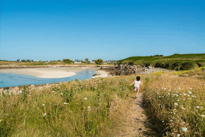

Hiking trail no. 21 - Ségal Island
- Pedestrian
- 8.3 Km
- 2h40
- Easy
- Walks
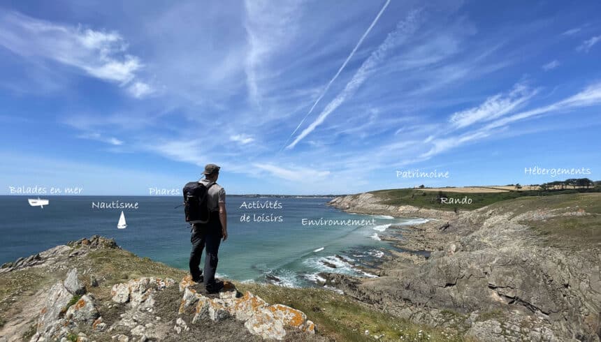
About us
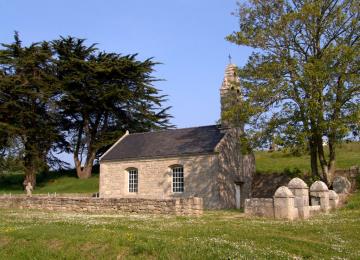
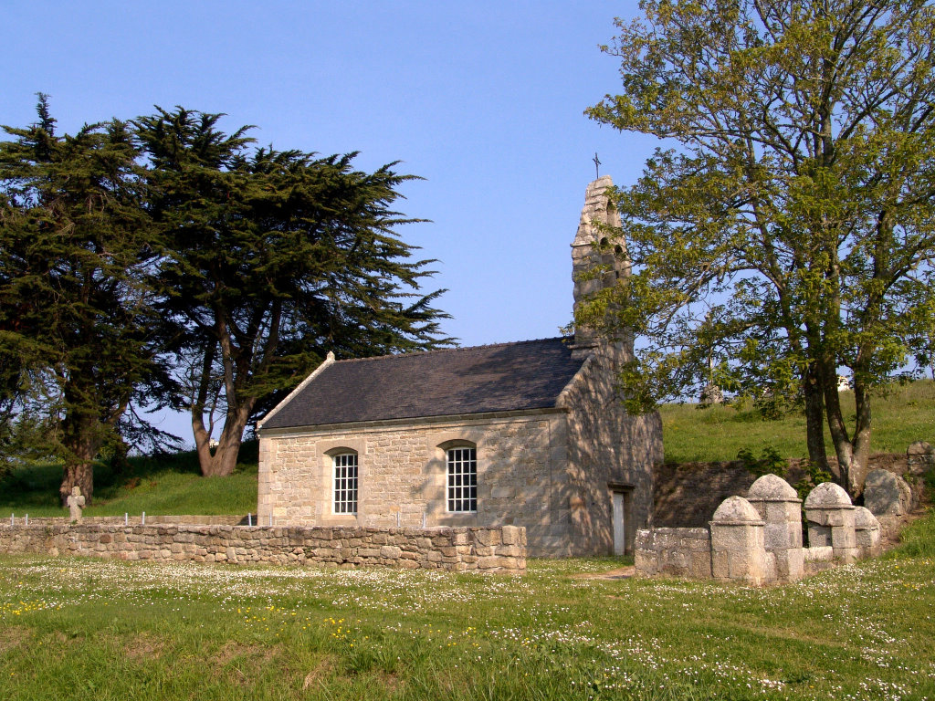
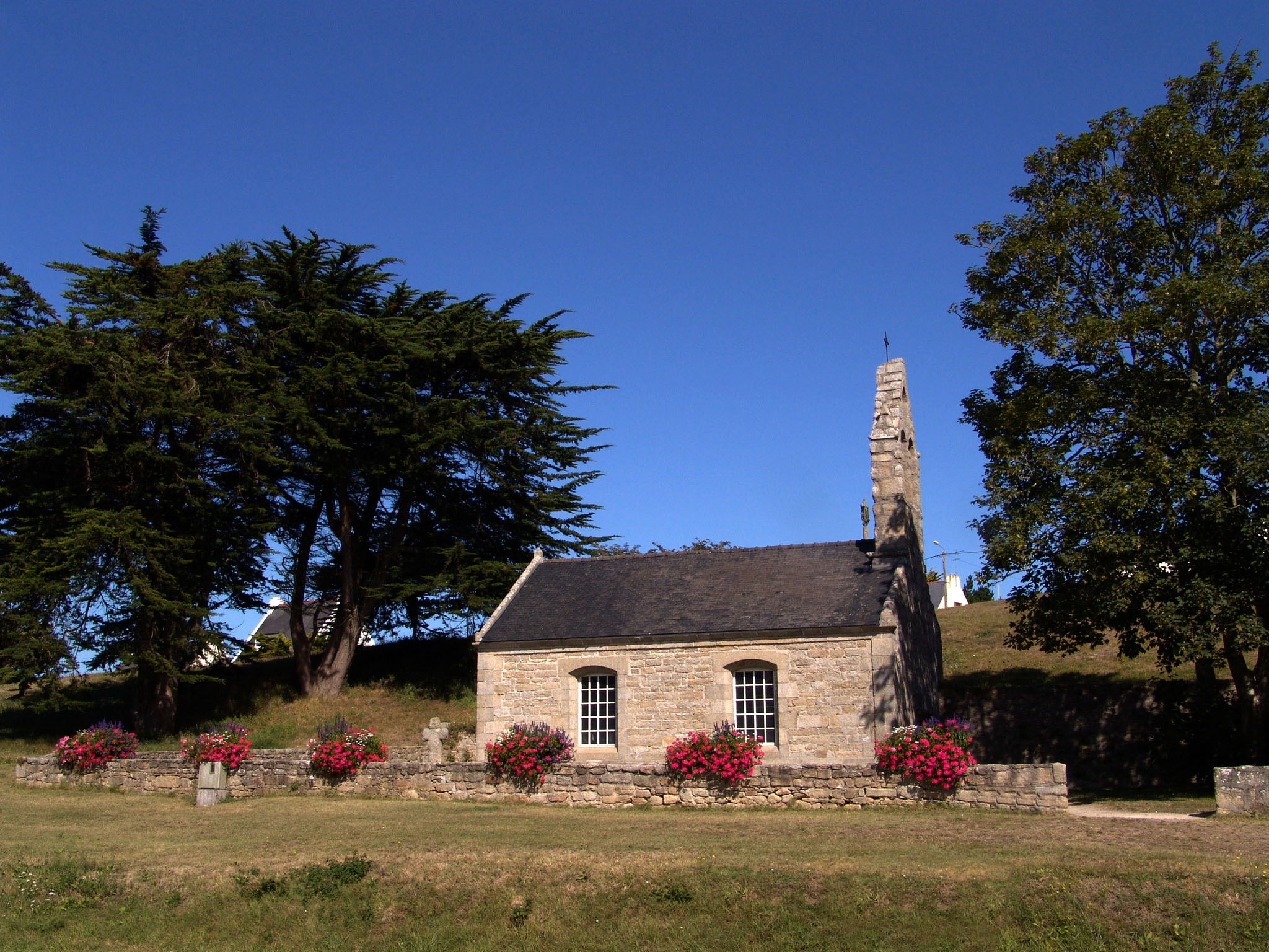
Saint Egarec is invoked for earaches and deafness. His pardon was called Pardoun ar brennig, as the peasants would go down to the shore to collect barnacles, shellfish that are very abundant on the coast.
With the circuits published by "Iroise Bretagne", choose quality hiking with official circuits marked and maintained by the Fédération Française de Randonnée du Finistère and Pays d'Iroise Communauté.
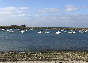
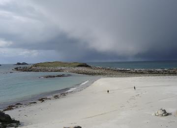
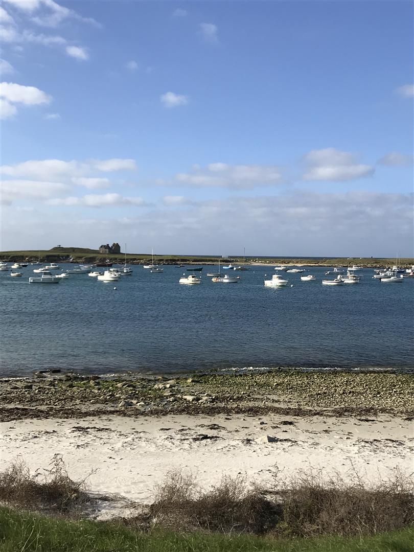
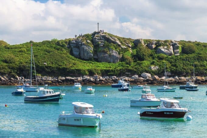
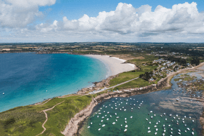
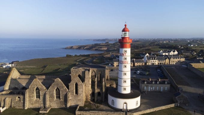
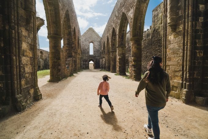
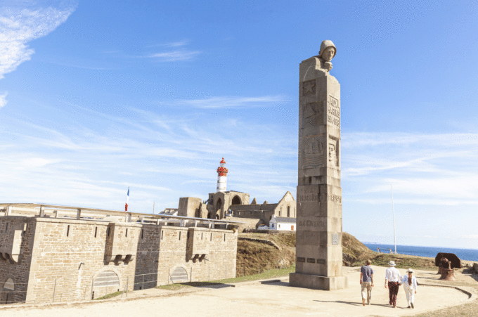
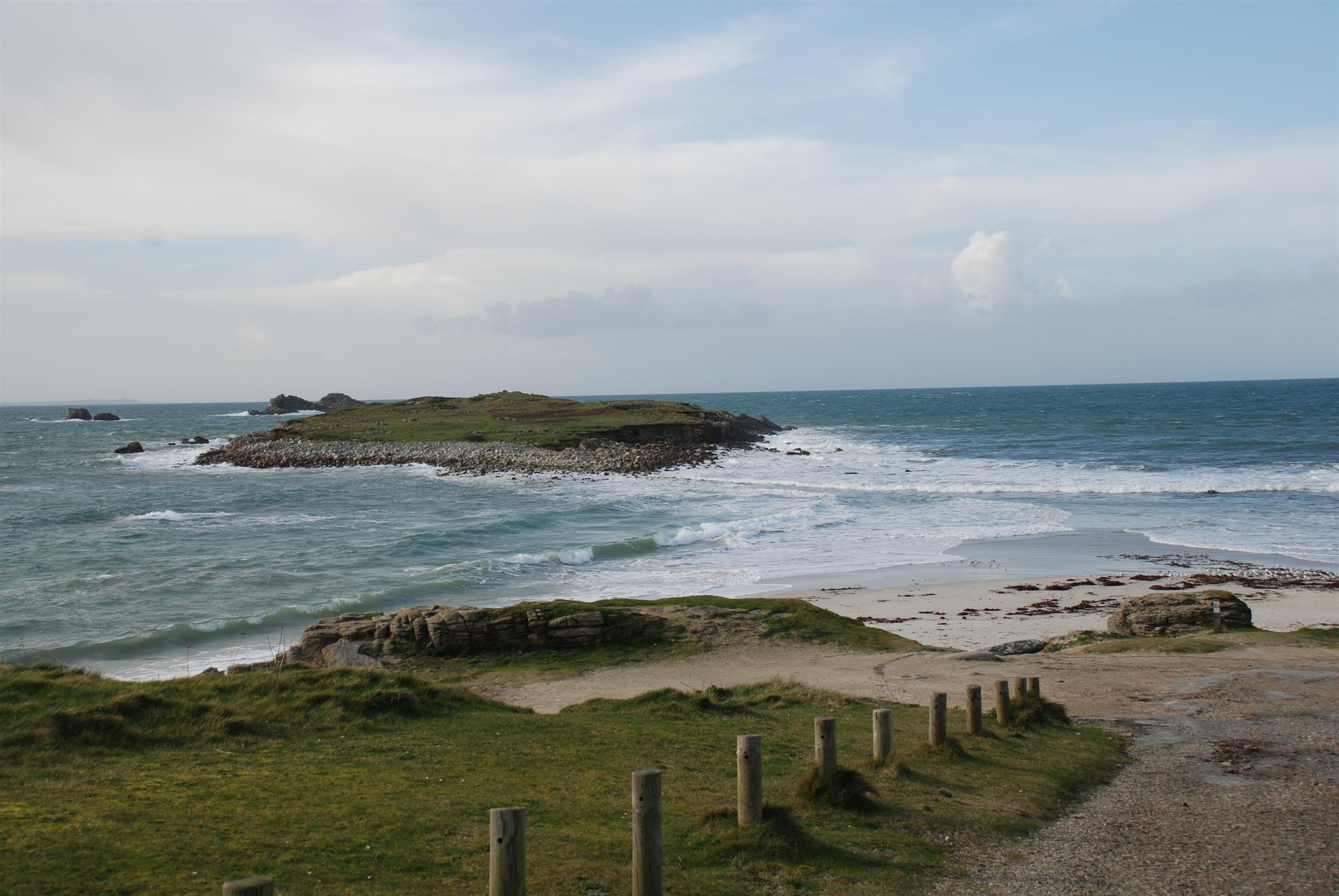
Along the way, you can admire the church, calvary, houses... as well as the Saint Egarec chapel and Ségal Island.
Markings:
- Mairie de Lampaul-Plouarzel to Auberge du Môle > Yellow
- Auberge du Môle to rue de Toul an Dour > White - Red
- Rue de Toul an Dour to Mairie de Lampaul-Plouarzel > Yellow
At the Iroise Bretagne Tourist Office, you'll find hard-copy hiking maps and topoguides published by the Fédération Française de Randonnée du Finistère.
See the bottom of the page for all the activities and restaurants in the area.