


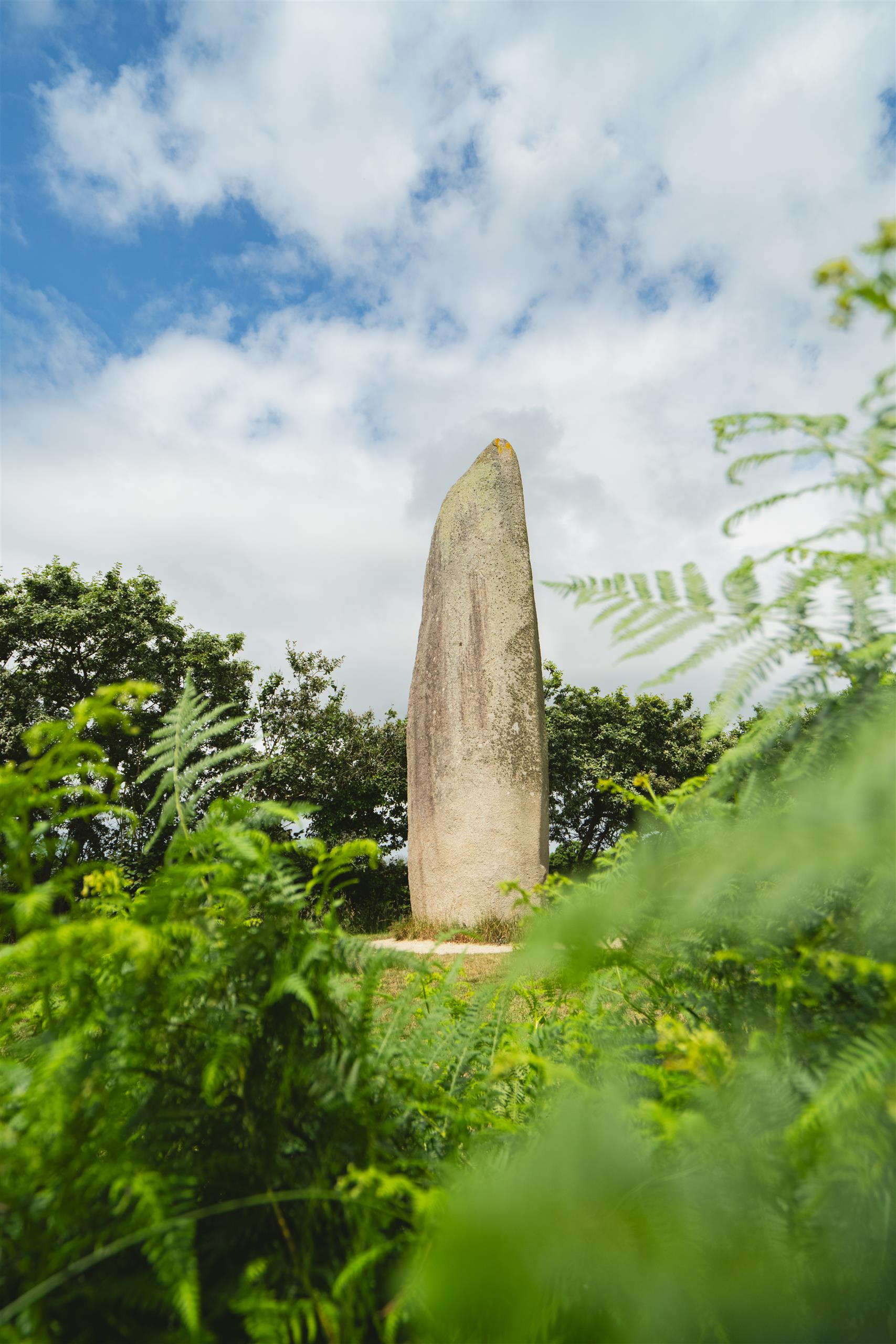
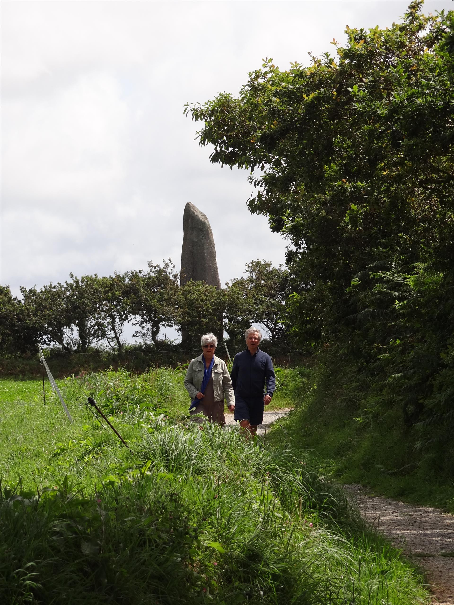
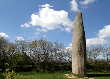
Hiking trail no. 10 - The Kerloas menhir
Ploumoguer
Ploumoguer
- Pedestrian
- 11 Km
- 2h45
- Walks
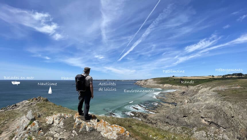
About us
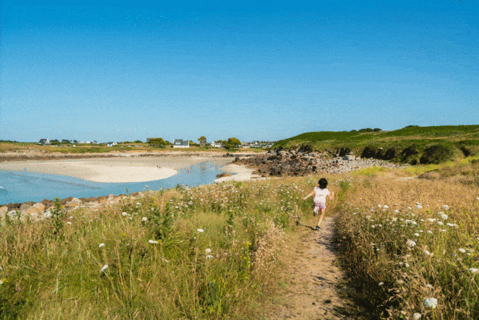
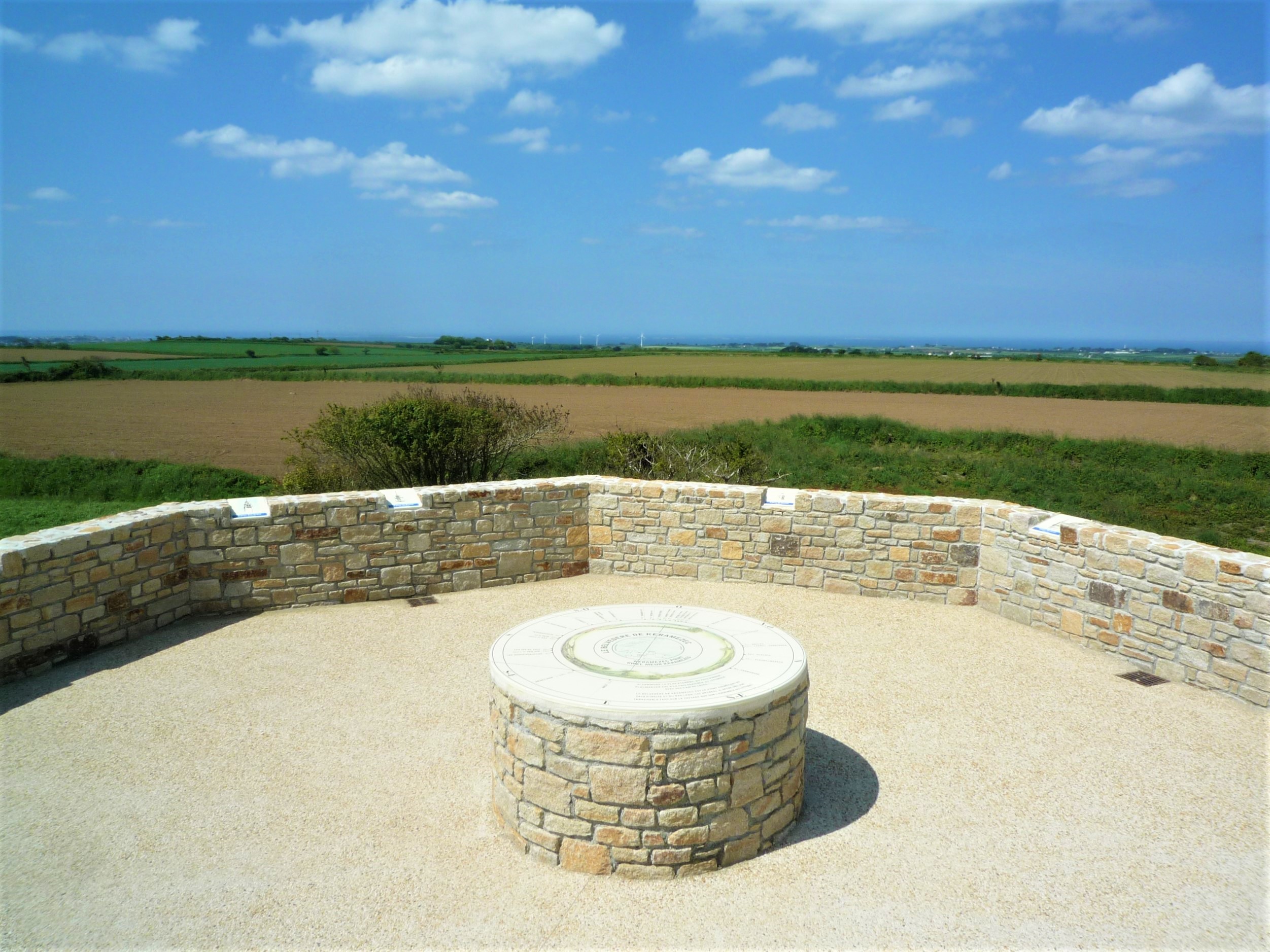
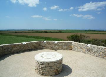
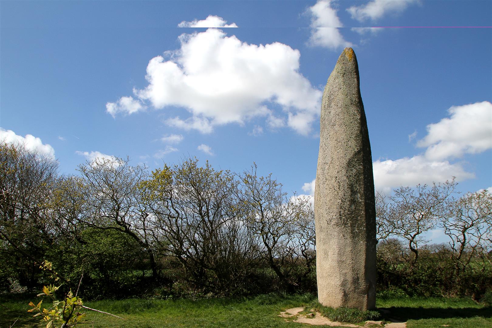
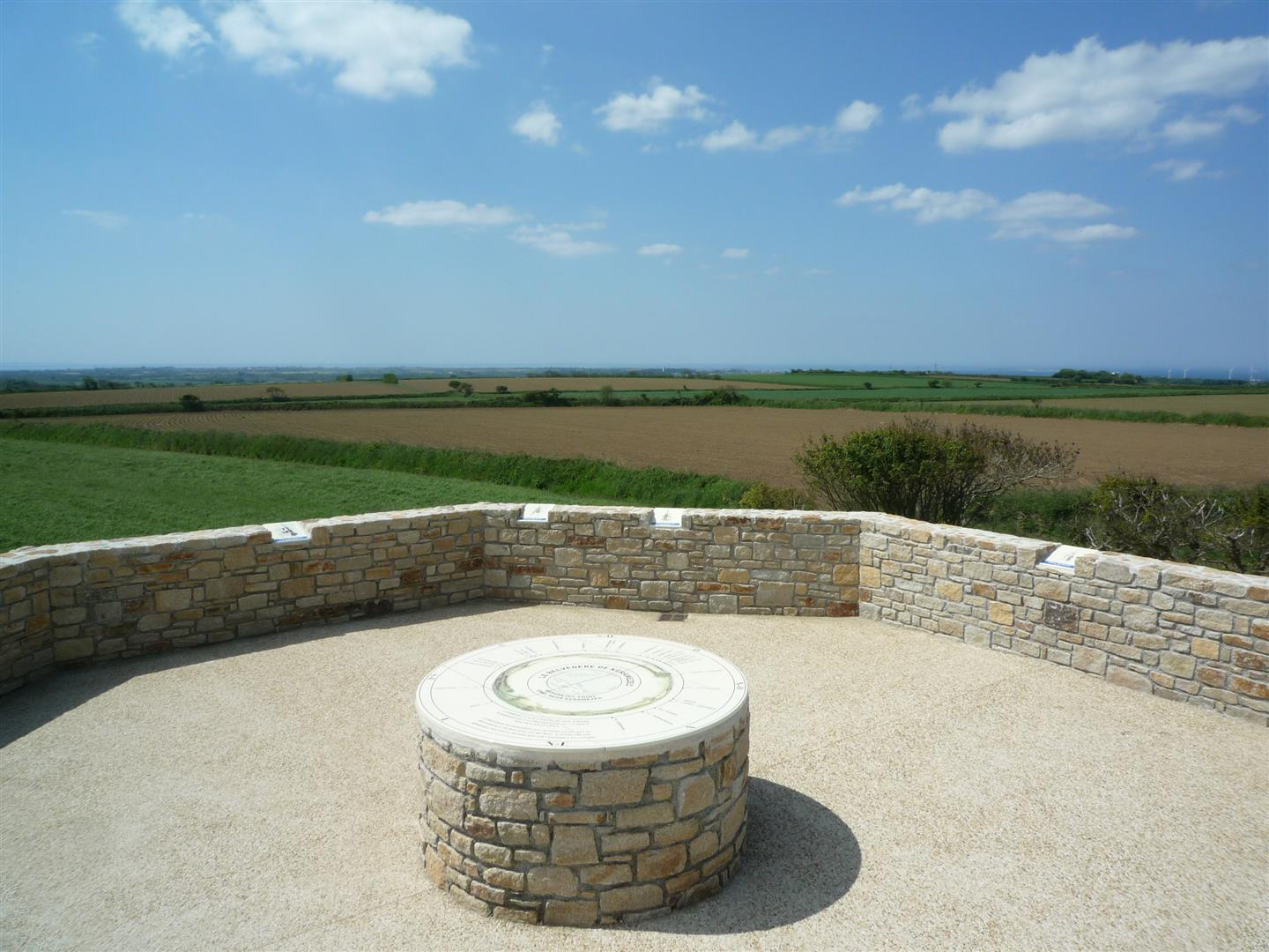
Combining prehistory and the present, this walk will introduce you to a rich heritage and a breathtaking panorama from the Keramézec belvedere.
With the circuits published by "Iroise Bretagne", choose quality hiking with official circuits marked and maintained by the Fédération Française de Randonnée du Finistère and Pays d'Iroise Communauté.
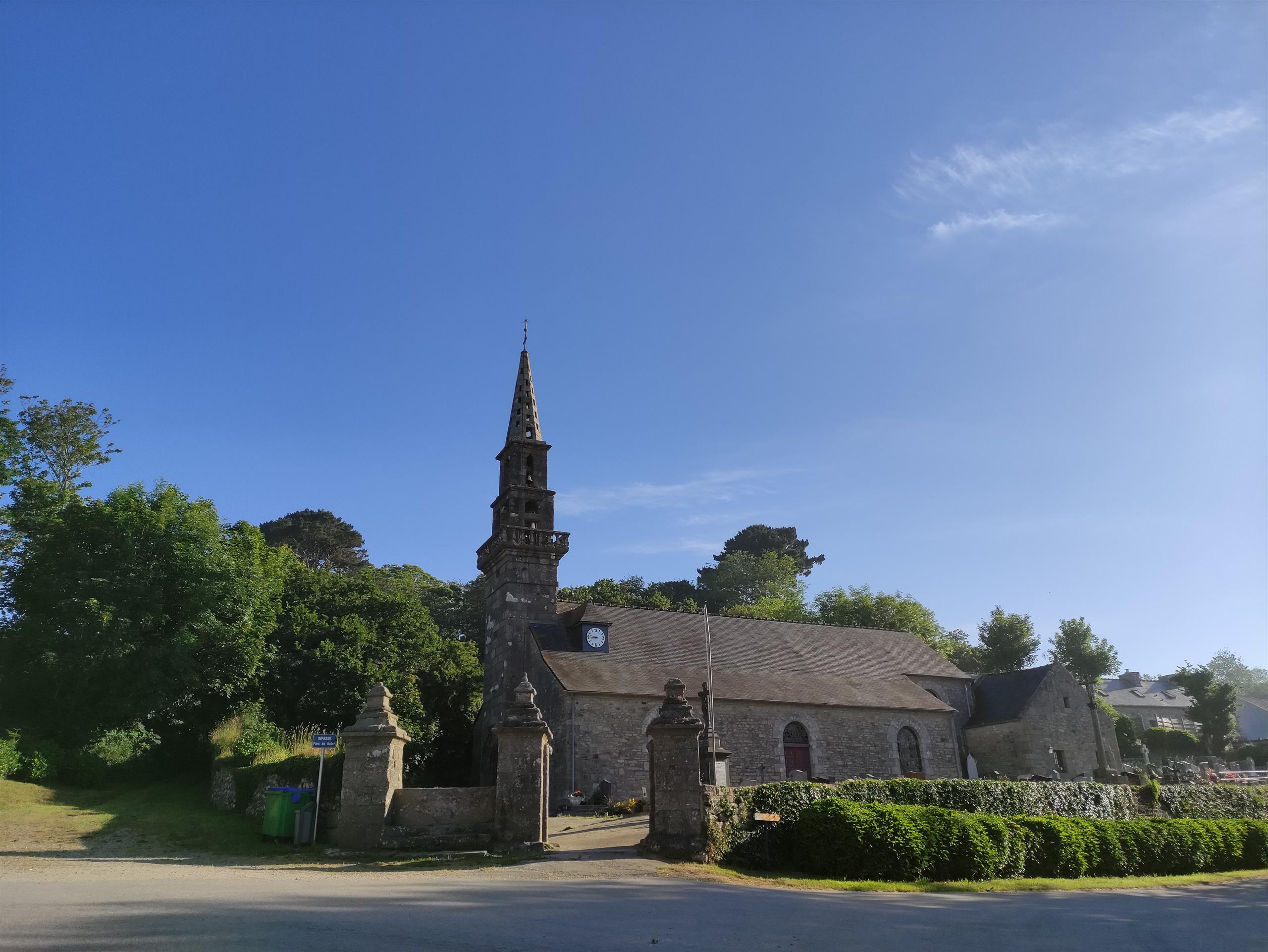
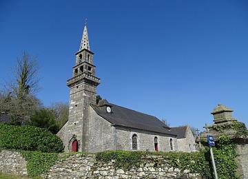
Along the way, you'll discover the village of Lamber, the Kerloas menhir and the Kéramezec belvedere.
Markings:
Yellow
At the Iroise Bretagne Tourist Office, you'll find hard-copy hiking maps and topoguides published by the Fédération Française de Randonnée du Finistère.
See the bottom of the page for all the activities and restaurants in the area.
Documents to download
Itinerary
Step 1/3:
Help us improve your routes