Hiking trail no. 20 - The Pointe de Corsen
- Pedestrian
- 10 Km
- 3h
- Difficult
- 420 m
- Walks
About us
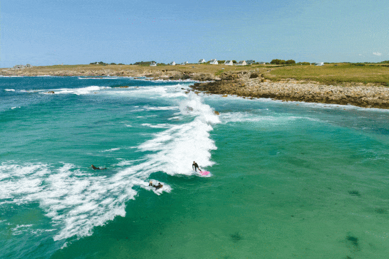
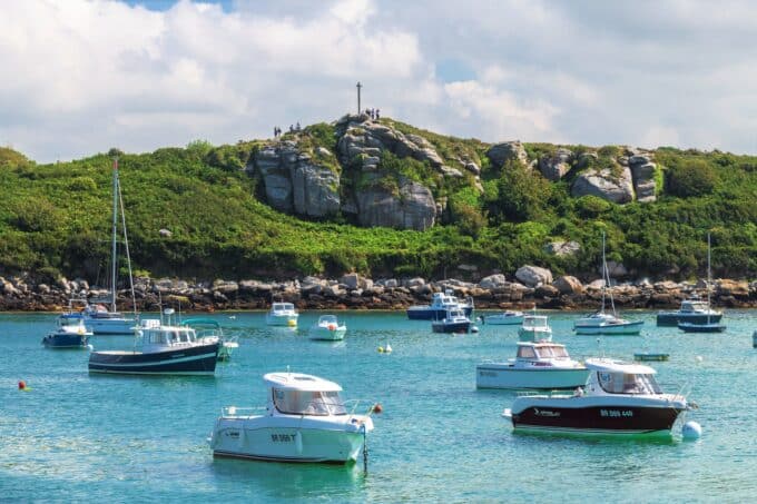
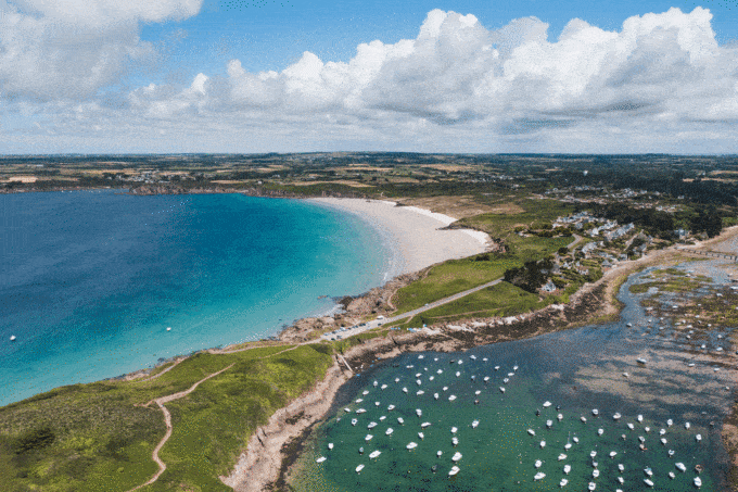
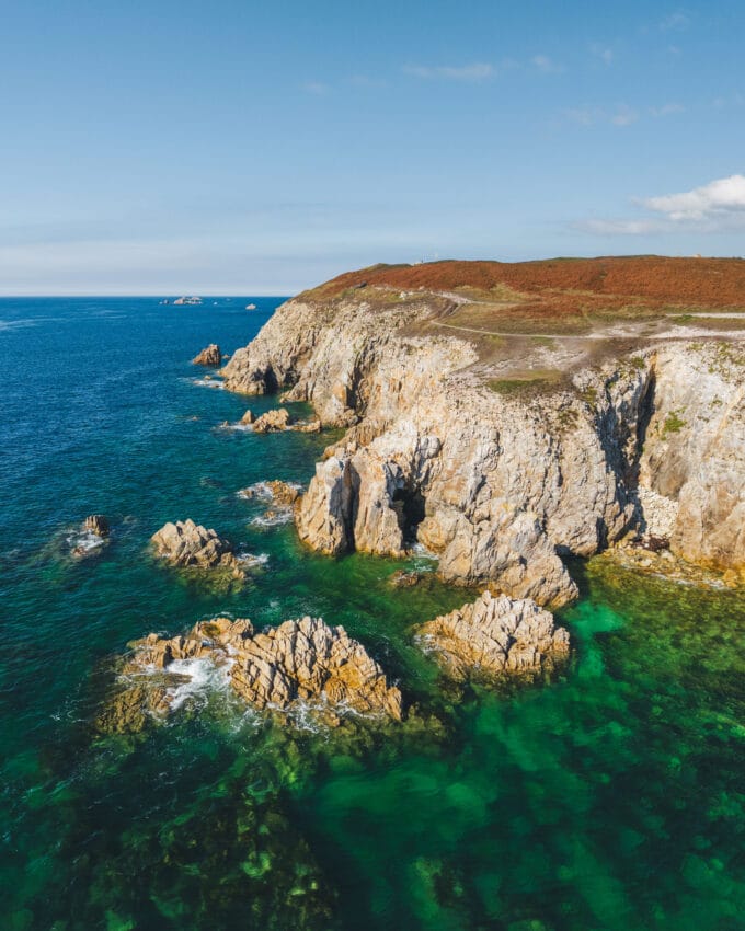
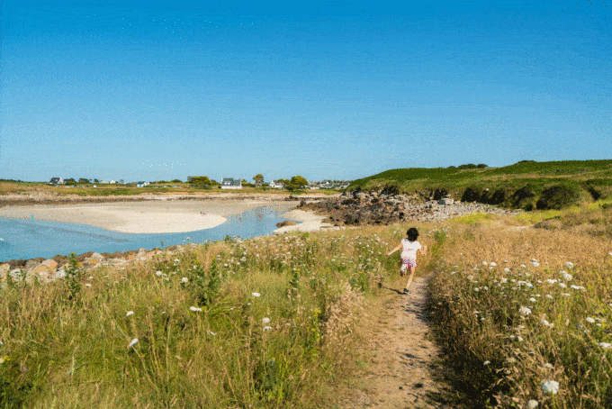
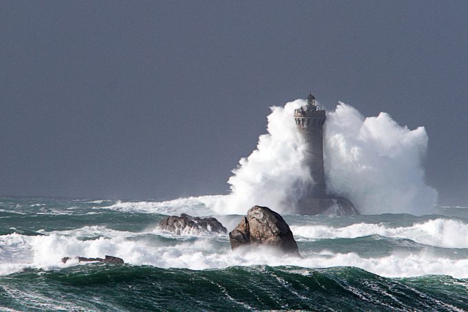
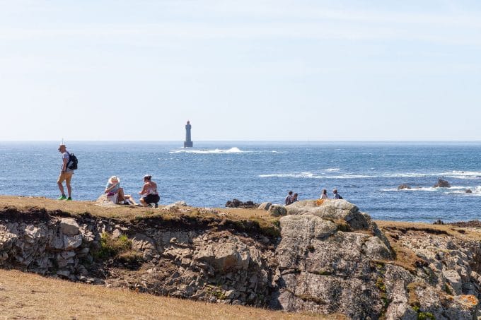
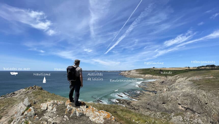
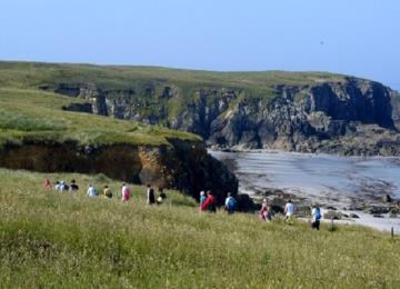
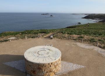
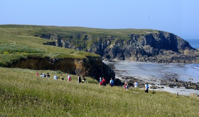
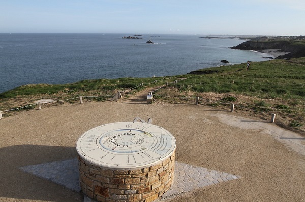
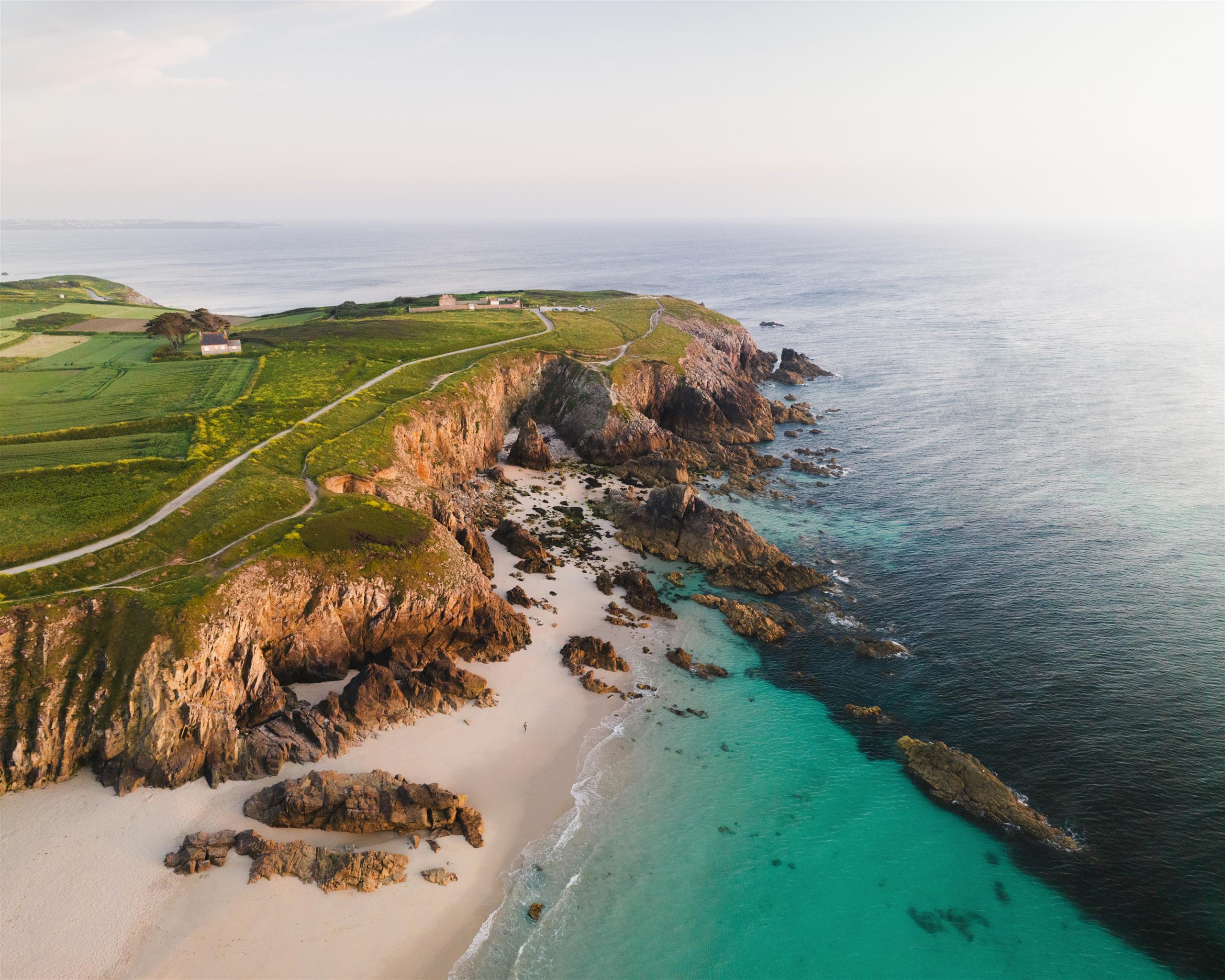
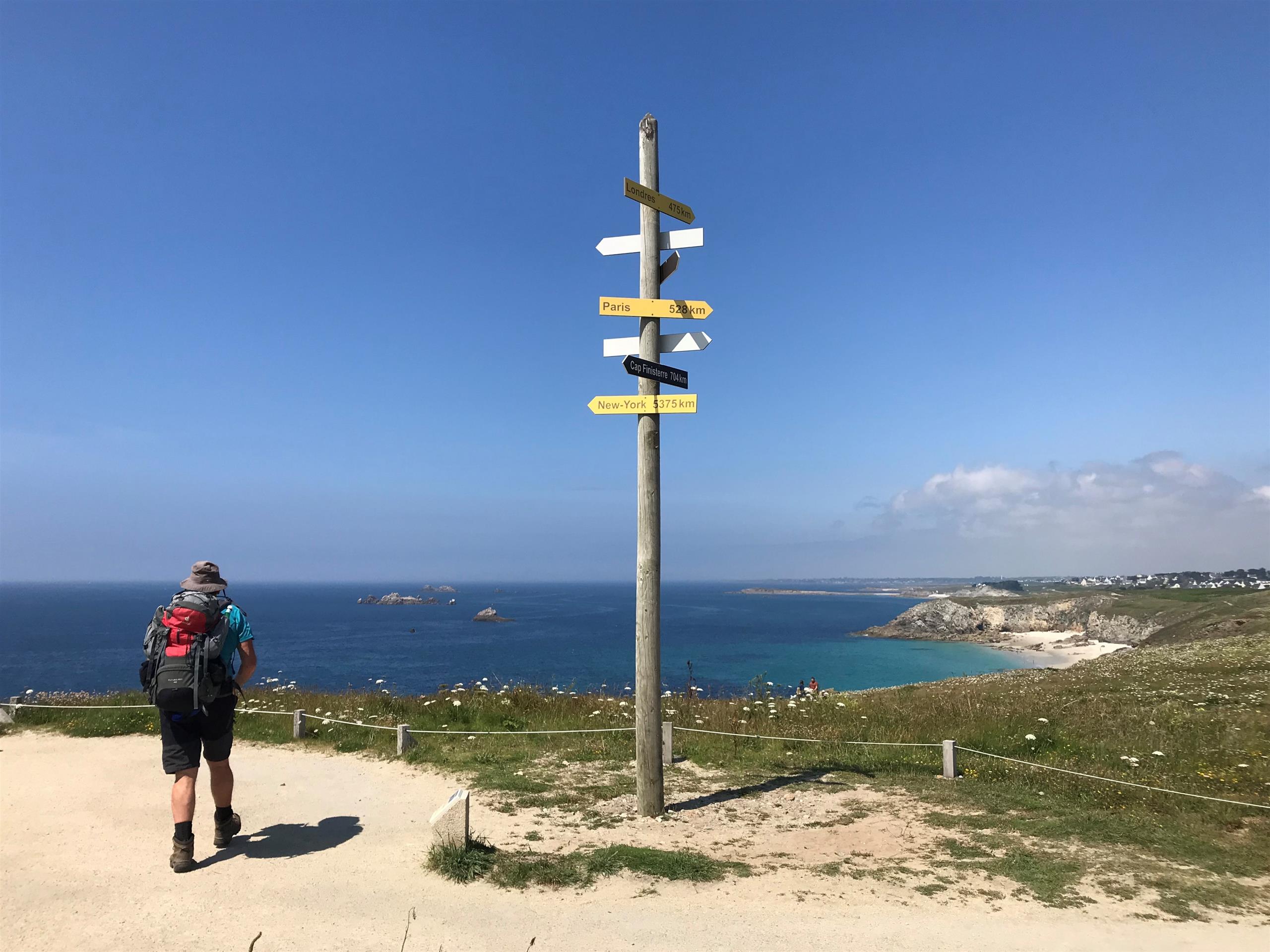
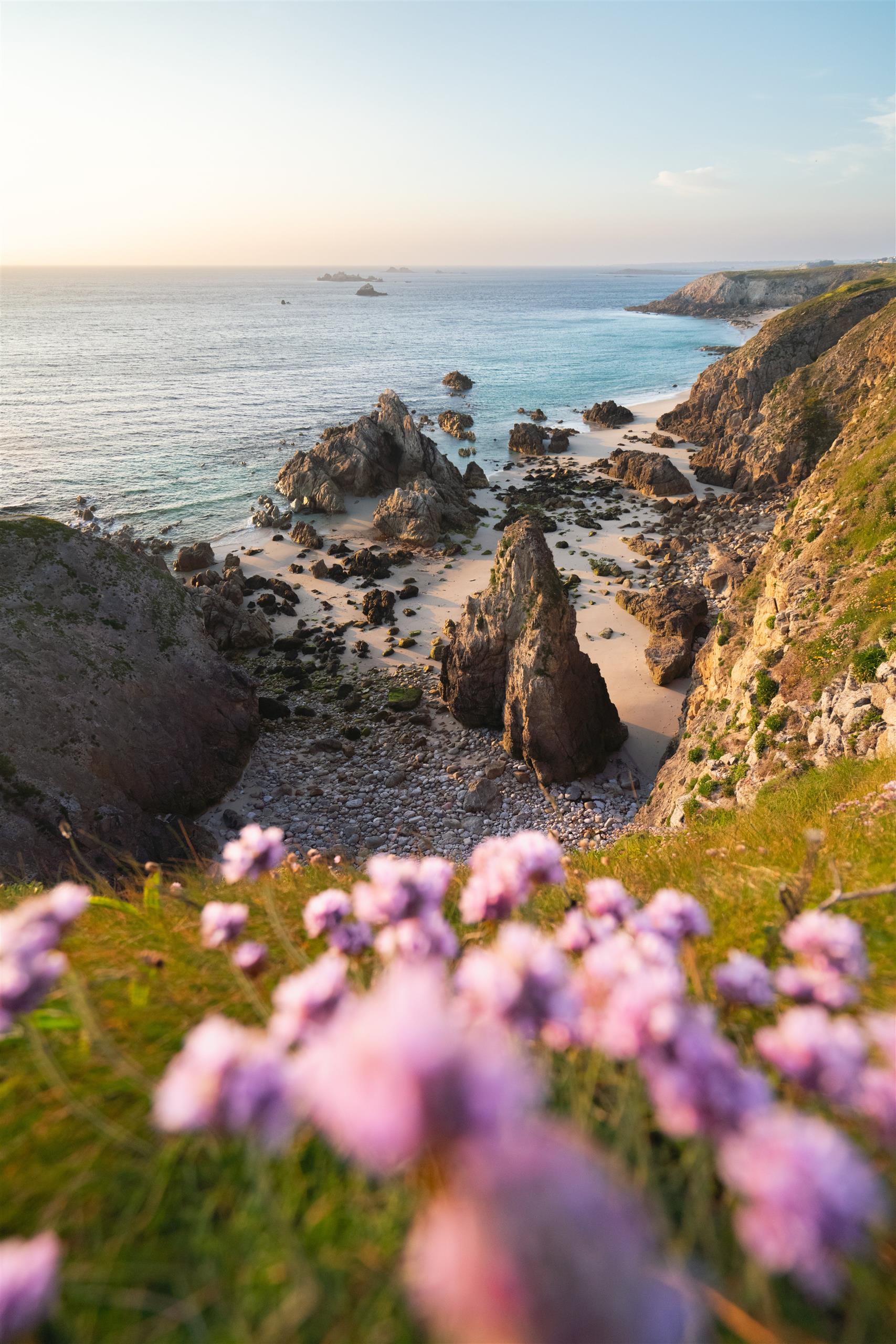
Here you are! Corsen Point is the most westerly point of mainland France. At your feet, the Iroise Sea! It forms the boundary between the English Channel and the Atlantic. Violent currents, shallow waters, a string of islands and islets in the Molène archipelago combined with heavy shipping traffic... all the factors combine to make this one of the most dangerous seas in the world. In fine weather, seaweed boats, sailboats, speedboats and fishermen cruise before your very eyes. A group of dolphins familiar to the headland frequently play in its currents. Soon, you'll leave the iodized air and wild cliffs for the sunken paths of the undergrowth of the Pont ar floc'h valley...
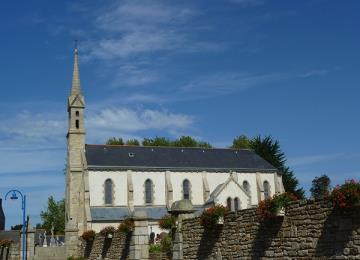
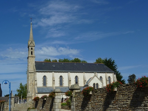
Along the way, discover the church and fountain of Trézien, as well as the Pointe de Corsen with its interpretation trail and orientation table.
Markings:
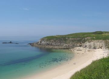
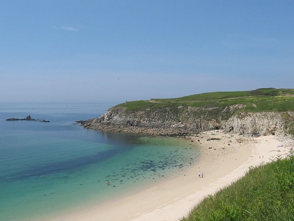
- Departure - Plage de Portsévigné > yellow
- Plage de Portsévigné - Quittez la côte > white-red
- Quittez la côte! - Departure > yellow
At the Iroise Bretagne Tourist Office, you'll find hard-copy hiking maps and topoguides published by the Fédération Française de Randonnée du Finistère.
See the bottom of the page for all the activities and restaurants in the area.

